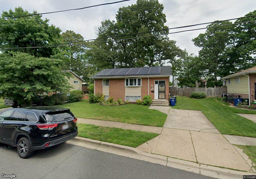
2110 Brewton St District Heights, MD 20747
Estimated Value: $403,783 - $456,000
4
Beds
2
Baths
1,064
Sq Ft
$402/Sq Ft
Est. Value
About This Home
This home is located at 2110 Brewton St, District Heights, MD 20747 and is currently estimated at $427,946, approximately $402 per square foot. 2110 Brewton St is a home located in Prince George's County with nearby schools including North Forestville Elementary School, Walker Mill Middle School, and Dr. Henry A. Wise Jr. High School.
Ownership History
Date
Name
Owned For
Owner Type
Purchase Details
Closed on
Mar 14, 2006
Sold by
Warrick Lori N
Bought by
Warric
Current Estimated Value
Home Financials for this Owner
Home Financials are based on the most recent Mortgage that was taken out on this home.
Original Mortgage
$233,600
Outstanding Balance
$132,052
Interest Rate
6.27%
Mortgage Type
Stand Alone Refi Refinance Of Original Loan
Estimated Equity
$295,894
Purchase Details
Closed on
Jan 26, 2006
Sold by
Warrick Lori N
Bought by
Warric
Home Financials for this Owner
Home Financials are based on the most recent Mortgage that was taken out on this home.
Original Mortgage
$233,600
Outstanding Balance
$132,052
Interest Rate
6.27%
Mortgage Type
Stand Alone Refi Refinance Of Original Loan
Estimated Equity
$295,894
Purchase Details
Closed on
Jan 31, 1996
Sold by
Dean Iress L
Bought by
Warrick Lori N
Purchase Details
Closed on
Aug 24, 1988
Sold by
Edwards Alfred S
Bought by
Dean Iress L and Dean Veronica D
Create a Home Valuation Report for This Property
The Home Valuation Report is an in-depth analysis detailing your home's value as well as a comparison with similar homes in the area
Home Values in the Area
Average Home Value in this Area
Purchase History
| Date | Buyer | Sale Price | Title Company |
|---|---|---|---|
| Warric | -- | -- | |
| Warric | -- | -- | |
| Warrick Lori N | $137,900 | -- | |
| Dean Iress L | $106,000 | -- |
Source: Public Records
Mortgage History
| Date | Status | Borrower | Loan Amount |
|---|---|---|---|
| Open | Warric | $233,600 | |
| Previous Owner | Warric | $233,600 |
Source: Public Records
Tax History Compared to Growth
Tax History
| Year | Tax Paid | Tax Assessment Tax Assessment Total Assessment is a certain percentage of the fair market value that is determined by local assessors to be the total taxable value of land and additions on the property. | Land | Improvement |
|---|---|---|---|---|
| 2025 | $5,050 | $334,467 | -- | -- |
| 2024 | $5,050 | $310,233 | $0 | $0 |
| 2023 | $4,818 | $286,000 | $60,800 | $225,200 |
| 2022 | $4,504 | $272,000 | $0 | $0 |
| 2021 | $4,336 | $258,000 | $0 | $0 |
| 2020 | $4,236 | $244,000 | $60,400 | $183,600 |
| 2019 | $4,244 | $237,300 | $0 | $0 |
| 2018 | $4,171 | $230,600 | $0 | $0 |
| 2017 | $3,944 | $223,900 | $0 | $0 |
| 2016 | -- | $202,367 | $0 | $0 |
| 2015 | $3,949 | $180,833 | $0 | $0 |
| 2014 | $3,949 | $159,300 | $0 | $0 |
Source: Public Records
Map
Nearby Homes
- 2114 Glendora Dr
- 7804 Darcy Rd
- 2215 Oak Glen Way
- 7613 Starshine Dr
- 2313 Wintergreen Ave
- 7609 Starshine Dr
- 2501 Ritchie Rd
- 8008 Boundary Dr
- 7118 Foster St
- 2605 Millvale Ave
- 7304 Malden Ln
- 2614 Boones Ln
- 2613 Millvale Ave
- 1818 Gould Dr
- 7007 Marbury Ct
- 2706 Kirtland Ave
- 8107 Phelps Place
- 2700 Phelps Ave
- 1408 Shady Glen Dr
- 6918 Gateway Blvd