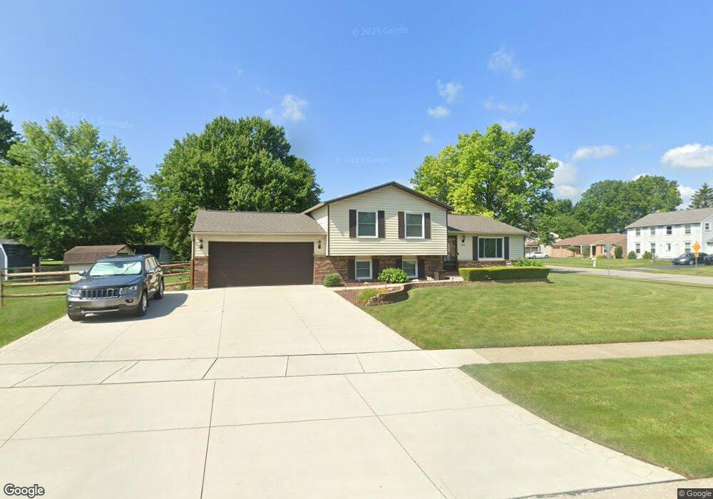
2110 Bromford Rd Maumee, OH 43537
Estimated Value: $254,000 - $259,000
3
Beds
2
Baths
1,672
Sq Ft
$153/Sq Ft
Est. Value
About This Home
This home is located at 2110 Bromford Rd, Maumee, OH 43537 and is currently estimated at $256,604, approximately $153 per square foot. 2110 Bromford Rd is a home located in Lucas County with nearby schools including Holloway Elementary School, Springfield Middle School, and Springfield High School.
Ownership History
Date
Name
Owned For
Owner Type
Purchase Details
Closed on
Jan 27, 2023
Sold by
Buck Craig A and Buck Jennifer S
Bought by
Burns Jacob T and Buck Alexa Nikole
Current Estimated Value
Home Financials for this Owner
Home Financials are based on the most recent Mortgage that was taken out on this home.
Original Mortgage
$213,400
Outstanding Balance
$205,676
Interest Rate
6.27%
Mortgage Type
New Conventional
Estimated Equity
$50,928
Purchase Details
Closed on
Oct 4, 2018
Sold by
Buck Jennifer and Estate Of Albert W Gross Jr
Bought by
Buck Craig A and Buck Jennifer S
Create a Home Valuation Report for This Property
The Home Valuation Report is an in-depth analysis detailing your home's value as well as a comparison with similar homes in the area
Home Values in the Area
Average Home Value in this Area
Purchase History
| Date | Buyer | Sale Price | Title Company |
|---|---|---|---|
| Burns Jacob T | $220,000 | None Listed On Document | |
| Buck Craig A | $67,400 | None Available |
Source: Public Records
Mortgage History
| Date | Status | Borrower | Loan Amount |
|---|---|---|---|
| Open | Burns Jacob T | $213,400 |
Source: Public Records
Tax History
| Year | Tax Paid | Tax Assessment Tax Assessment Total Assessment is a certain percentage of the fair market value that is determined by local assessors to be the total taxable value of land and additions on the property. | Land | Improvement |
|---|---|---|---|---|
| 2025 | -- | $65,310 | $21,140 | $44,170 |
| 2024 | $1,979 | $65,310 | $21,140 | $44,170 |
| 2023 | $3,518 | $50,715 | $15,750 | $34,965 |
| 2022 | $3,516 | $50,715 | $15,750 | $34,965 |
| 2021 | $3,305 | $50,715 | $15,750 | $34,965 |
| 2020 | $3,200 | $43,540 | $13,160 | $30,380 |
| 2019 | $3,127 | $43,540 | $13,160 | $30,380 |
| 2018 | $2,376 | $43,540 | $13,160 | $30,380 |
| 2017 | $2,315 | $39,305 | $11,200 | $28,105 |
| 2016 | $2,336 | $112,300 | $32,000 | $80,300 |
| 2015 | $2,331 | $112,300 | $32,000 | $80,300 |
| 2014 | $2,039 | $37,800 | $10,780 | $27,020 |
| 2013 | $2,039 | $37,800 | $10,780 | $27,020 |
Source: Public Records
Map
Nearby Homes
- 6418 Scarsdale Rd
- 2001 Perrysburg Holland Rd
- 2024 Inglewood Rd
- 2165 Glenacres Ct
- 36 Wolf Ridge Dr
- 6856 Morningdew Blvd
- 6655 Garden Rd Unit 6655
- 6705 Garden Rd Unit 6705
- 6652 Sue Ln
- 6731 Garden Rd Unit 6731
- 38 Walnut Creek Dr
- 7009 Shadowcreek Dr
- 2437 Knights Hill Ln
- 7063 Nightingale Dr
- 8939 Airport Hwy
- 5741 Heatherbank Rd
- 7342 Woodshire Ln
- 2324 Mill Race Ct
- 5637 Swan Creek Dr
- 2822 Pleasant Hill Rd
- 2115 Kingston Dr
- 2121 Kingston Dr
- 2124 Bromford Rd
- 2107 Bromford Rd
- 2146 Longport Dr
- 2113 Bromford Rd
- 2077 Bromford Rd
- 2062 Bromford Rd
- 2127 Kingston Dr
- 2069 Bromford Rd
- 2152 Longport Dr
- 2114 Kingston Dr
- 2122 Kingston Dr
- 2120 Longport Dr
- 2063 Bromford Rd
- 2158 Longport Dr
- 2133 Kingston Dr
- 2052 Kellerston Rd
- 2128 Kingston Dr
- 2060 Kellerston Rd
Your Personal Tour Guide
Ask me questions while you tour the home.