2110 Brown Rd Ferndale, WA 98248
Estimated Value: $712,000 - $814,000
3
Beds
2
Baths
1,380
Sq Ft
$552/Sq Ft
Est. Value
About This Home
This home is located at 2110 Brown Rd, Ferndale, WA 98248 and is currently estimated at $761,522, approximately $551 per square foot. 2110 Brown Rd is a home located in Whatcom County with nearby schools including Custer Elementary School, Horizon Middle School, and Ferndale High School.
Ownership History
Date
Name
Owned For
Owner Type
Purchase Details
Closed on
Dec 14, 2011
Sold by
Randall Andrew J and Randall Carrie E
Bought by
Randall Wade N and Randall Rae D
Current Estimated Value
Home Financials for this Owner
Home Financials are based on the most recent Mortgage that was taken out on this home.
Original Mortgage
$260,000
Outstanding Balance
$177,259
Interest Rate
3.94%
Mortgage Type
New Conventional
Estimated Equity
$584,263
Create a Home Valuation Report for This Property
The Home Valuation Report is an in-depth analysis detailing your home's value as well as a comparison with similar homes in the area
Home Values in the Area
Average Home Value in this Area
Purchase History
| Date | Buyer | Sale Price | Title Company |
|---|---|---|---|
| Randall Wade N | $325,280 | Whatcom Land Title |
Source: Public Records
Mortgage History
| Date | Status | Borrower | Loan Amount |
|---|---|---|---|
| Open | Randall Wade N | $260,000 |
Source: Public Records
Tax History Compared to Growth
Tax History
| Year | Tax Paid | Tax Assessment Tax Assessment Total Assessment is a certain percentage of the fair market value that is determined by local assessors to be the total taxable value of land and additions on the property. | Land | Improvement |
|---|---|---|---|---|
| 2024 | $4,579 | $613,440 | $287,711 | $325,729 |
| 2023 | $4,579 | $635,601 | $322,400 | $313,201 |
| 2022 | $4,703 | $641,762 | $285,693 | $356,069 |
| 2021 | $4,348 | $509,330 | $226,738 | $282,592 |
| 2020 | $4,436 | $431,635 | $192,151 | $239,484 |
| 2019 | $3,529 | $399,659 | $177,916 | $221,743 |
| 2018 | $4,156 | $364,041 | $162,060 | $201,981 |
| 2017 | $3,606 | $327,965 | $146,000 | $181,965 |
| 2016 | $3,607 | $304,301 | $141,254 | $163,047 |
| 2015 | $3,487 | $304,301 | $141,254 | $163,047 |
| 2014 | -- | $286,205 | $132,854 | $153,351 |
| 2013 | -- | $280,125 | $130,032 | $150,093 |
Source: Public Records
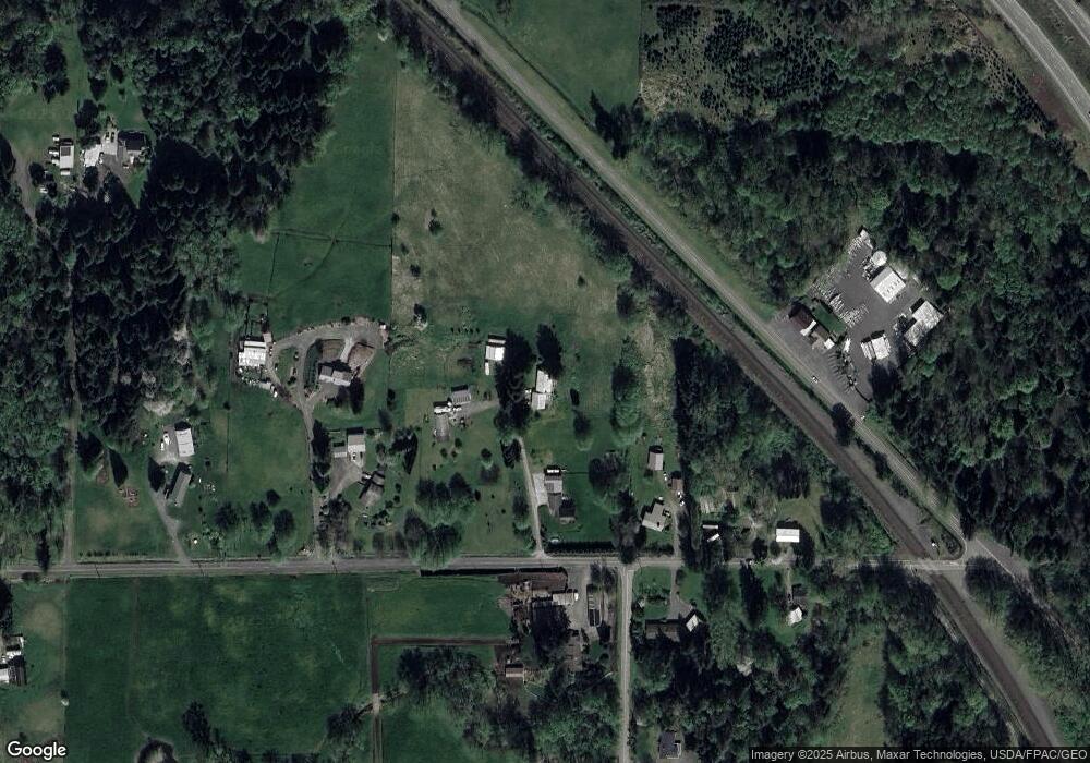
Map
Nearby Homes
- 6850 Portal Way
- 2036 Grandview Rd
- 2265 Grandview Rd
- 2020 Grandview Rd
- 2070 Grandview Rd
- 1939 Grandview Rd
- 0 xxx Brown Rd
- 6600 Portal Way
- 1942 Trigg Rd Unit 26
- 1942 Trigg Rd Unit 38
- 0 Aldergrove Rd Unit NWM2355925
- 1862 Destiny St
- 6470 Trigg Woods Ln
- 1957 Baltic Way Unit 110
- 1957 Baltic Way Unit E108
- 1957 Baltic Way Unit 111
- 1929 Baltic Way Unit C110
- 6350 Portal Way Unit 83
- 6350 Portal Way Unit 64
- 6350 Portal Way Unit 20