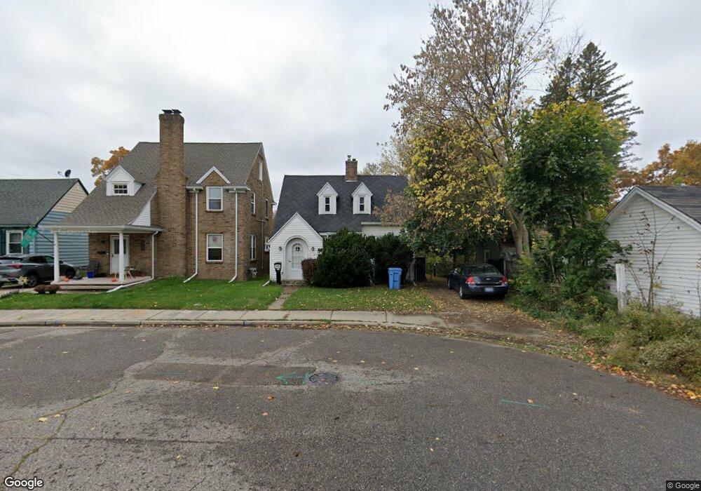
2110 Colvin Ct Lansing, MI 48910
Clifford Park NeighborhoodEstimated Value: $133,232 - $149,000
--
Bed
1
Bath
880
Sq Ft
$161/Sq Ft
Est. Value
About This Home
This home is located at 2110 Colvin Ct, Lansing, MI 48910 and is currently estimated at $141,808, approximately $161 per square foot. 2110 Colvin Ct is a home located in Ingham County with nearby schools including Lyons Elementary School, Attwood School, and Eastern High School.
Ownership History
Date
Name
Owned For
Owner Type
Purchase Details
Closed on
Aug 10, 2022
Sold by
Olson Jerry L
Bought by
Olson Daniel
Current Estimated Value
Purchase Details
Closed on
Apr 17, 2007
Sold by
Olson Marianne
Bought by
Olson Jerry L
Purchase Details
Closed on
Jan 31, 2007
Sold by
Olson Marianne and Olson Jerry L
Bought by
Olson Pauline E
Purchase Details
Closed on
Mar 21, 2006
Sold by
Olson Pauline E
Bought by
Olson Pauline E and Olson Marianne
Purchase Details
Closed on
Apr 23, 2001
Sold by
Olson Pauline E and Olson Arnold O
Bought by
Olson Pauline E and Pauline E Olson Trust
Create a Home Valuation Report for This Property
The Home Valuation Report is an in-depth analysis detailing your home's value as well as a comparison with similar homes in the area
Home Values in the Area
Average Home Value in this Area
Purchase History
| Date | Buyer | Sale Price | Title Company |
|---|---|---|---|
| Olson Daniel | -- | -- | |
| Olson Jerry L | -- | None Available | |
| Olson Pauline E | -- | None Available | |
| Olson Pauline E | -- | None Available | |
| Olson Pauline E | -- | None Available | |
| Olson Pauline E | -- | -- |
Source: Public Records
Tax History Compared to Growth
Tax History
| Year | Tax Paid | Tax Assessment Tax Assessment Total Assessment is a certain percentage of the fair market value that is determined by local assessors to be the total taxable value of land and additions on the property. | Land | Improvement |
|---|---|---|---|---|
| 2025 | $2,636 | $65,700 | $5,800 | $59,900 |
| 2024 | $21 | $59,200 | $5,800 | $53,400 |
| 2023 | $2,472 | $52,000 | $5,800 | $46,200 |
| 2022 | $2,230 | $45,900 | $5,300 | $40,600 |
| 2021 | $2,184 | $43,200 | $3,500 | $39,700 |
| 2020 | $2,170 | $41,400 | $3,500 | $37,900 |
| 2019 | $2,080 | $35,900 | $3,500 | $32,400 |
| 2018 | $1,950 | $34,200 | $3,500 | $30,700 |
| 2017 | $1,866 | $34,200 | $3,500 | $30,700 |
| 2016 | $1,807 | $33,600 | $3,500 | $30,100 |
| 2015 | $1,807 | $31,900 | $6,925 | $24,975 |
| 2014 | $1,807 | $31,800 | $5,386 | $26,414 |
Source: Public Records
Map
Nearby Homes
- 520 Riley St
- 538 Pacific Ave
- 525 E Mount Hope Ave
- 2107 Teel Ave
- 1818 Ray St
- 2230 Maplewood Ave
- 1927 Teel Ave
- 601 Tisdale Ave
- 1800 Herbert St
- 1731 Herbert St
- 704 Mckim Ave
- 2208 Lyons Ave
- 701 Tisdale Ave
- 626 Tisdale Ave
- 147 Isbell St
- 707 Isbell St
- 904 Pacific Ave
- 1722 S Washington Ave
- 1539 Linval St
- 918 Mckim Ave
- 2114 Colvin Ct
- 512 Woodrow Ave
- 518 Woodrow Ave
- 2118 Colvin Ct
- 510 Woodrow Ave
- 522 Woodrow Ave
- 524 Woodrow Ave
- 2117 S Cedar St
- 2111 Colvin Ct
- 526 Woodrow Ave
- 2119 Colvin Ct
- 2125 Colvin Ct
- 534 Woodrow Ave
- 517 Woodrow Ave
- 513 Woodrow Ave
- 519 Woodrow Ave
- 523 Woodrow Ave
- 531 Riley St
- 536 Woodrow Ave
- 525 Woodrow Ave