2110 Deer Rd Point Roberts, WA 98281
Estimated Value: $460,626 - $549,000
3
Beds
3
Baths
1,398
Sq Ft
$367/Sq Ft
Est. Value
About This Home
This home is located at 2110 Deer Rd, Point Roberts, WA 98281 and is currently estimated at $512,657, approximately $366 per square foot. 2110 Deer Rd is a home located in Whatcom County with nearby schools including Point Roberts Primary School, Blaine Middle School, and Blaine High School.
Ownership History
Date
Name
Owned For
Owner Type
Purchase Details
Closed on
Dec 15, 2017
Sold by
Robbins Mark Alan
Bought by
Robbins Mark Alan and Day Benedicte Marie O
Current Estimated Value
Purchase Details
Closed on
Nov 3, 2005
Sold by
Gookstetter Roger L
Bought by
Robbins Mark Alan
Purchase Details
Closed on
Jan 14, 2000
Sold by
Christie Glennys Margaret
Bought by
Gookstetter Roger L and Gookstetter Moira
Home Financials for this Owner
Home Financials are based on the most recent Mortgage that was taken out on this home.
Original Mortgage
$71,250
Interest Rate
3.95%
Create a Home Valuation Report for This Property
The Home Valuation Report is an in-depth analysis detailing your home's value as well as a comparison with similar homes in the area
Home Values in the Area
Average Home Value in this Area
Purchase History
| Date | Buyer | Sale Price | Title Company |
|---|---|---|---|
| Robbins Mark Alan | -- | None Available | |
| Robbins Mark Alan | $238,280 | Whatcom Land Title | |
| Gookstetter Roger L | -- | Whatcom Land Title | |
| Gookstetter Roger L | -- | First American Title Ins Co |
Source: Public Records
Mortgage History
| Date | Status | Borrower | Loan Amount |
|---|---|---|---|
| Previous Owner | Gookstetter Roger L | $71,250 |
Source: Public Records
Tax History Compared to Growth
Tax History
| Year | Tax Paid | Tax Assessment Tax Assessment Total Assessment is a certain percentage of the fair market value that is determined by local assessors to be the total taxable value of land and additions on the property. | Land | Improvement |
|---|---|---|---|---|
| 2024 | $3,156 | $393,087 | $102,383 | $290,704 |
| 2023 | $3,156 | $383,779 | $93,075 | $290,704 |
| 2022 | $2,590 | $350,483 | $85,000 | $265,483 |
| 2021 | $2,580 | $258,317 | $40,128 | $218,189 |
| 2020 | $2,568 | $239,179 | $37,155 | $202,024 |
| 2019 | $2,383 | $229,427 | $35,640 | $193,787 |
| 2018 | $2,270 | $206,252 | $32,040 | $174,212 |
| 2017 | $1,968 | $196,982 | $30,600 | $166,382 |
| 2016 | $2,005 | $193,120 | $30,000 | $163,120 |
| 2015 | $2,132 | $191,297 | $32,847 | $158,450 |
| 2014 | -- | $199,986 | $34,340 | $165,646 |
| 2013 | -- | $191,052 | $32,980 | $158,072 |
Source: Public Records
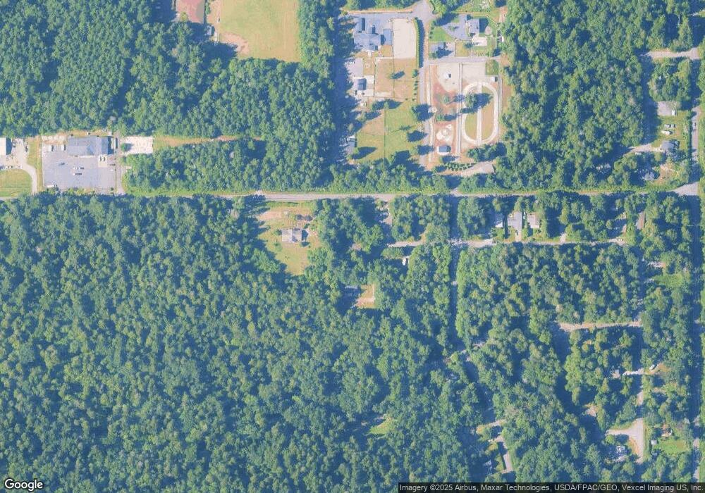
Map
Nearby Homes
- 2138 Benson Rd
- 0 X Weasel Run
- 0 Lot 7 Weasel Run Rd
- 6 Weasel Run Rd
- 302 Boundary Bay Rd
- 4 Boundary Bay Rd
- Lot 35 Boundary Bay Rd
- 500 Moose Trail
- Lot 2 Greenwood Dr
- 1976 Cedar Park Dr
- lot 14 Cedar Park Dr Unit 14
- 412 High Bluff Dr
- 2045 Apa Rd
- 251 Elizabeth Dr
- 0 6 39 Acres South Beach Rd
- 2149 Seabright Loop
- 1940 Apa Rd
- 2128 Seabright Loop
- 2202 Seabright Loop
- 58 Seabright Loop
- 2114 Deer Rd
- 0 Deer Rd
- 2077 Benson Rd
- 2122 Deer Rd
- 0 Moose Trail
- 445 Moose Trail
- 2146 Deer Rd
- 4 Deer Rd
- 444 Moose Trail
- 2150 Deer Rd
- 2 Deer Rd
- 0 Bear Trap Rd Unit 10454333
- 0 Bear Trap Rd Unit 1988122
- 2132 Benson Rd
- 2154 Deer Rd
- 465 Moose Trail
- 153537 Moose Trail
- 153546 Moose Trail
- 2160 Deer Rd
- 462 Moose Trail