2110 Dunrobin Ln E Port Orchard, WA 98366
Estimated Value: $629,223 - $689,000
3
Beds
2
Baths
1,965
Sq Ft
$333/Sq Ft
Est. Value
About This Home
This home is located at 2110 Dunrobin Ln E, Port Orchard, WA 98366 and is currently estimated at $653,556, approximately $332 per square foot. 2110 Dunrobin Ln E is a home located in Kitsap County with nearby schools including Orchard Heights Elementary School, Marcus Whitman Middle School, and South Kitsap High School.
Ownership History
Date
Name
Owned For
Owner Type
Purchase Details
Closed on
Aug 9, 2018
Sold by
Tousey Baker Sheri Ann and Estate Of Carolyn E Dankers
Bought by
Tousey Sheri Ann
Current Estimated Value
Purchase Details
Closed on
May 30, 2001
Sold by
Daugherty Kenneth Earl and Daugherty Joan K
Bought by
Dankers Carolyn E
Home Financials for this Owner
Home Financials are based on the most recent Mortgage that was taken out on this home.
Original Mortgage
$139,900
Interest Rate
7.15%
Purchase Details
Closed on
Apr 17, 2001
Sold by
Holloway Kirsten K
Bought by
Daugherty Kenneth Earl
Home Financials for this Owner
Home Financials are based on the most recent Mortgage that was taken out on this home.
Original Mortgage
$139,900
Interest Rate
7.15%
Purchase Details
Closed on
Jun 10, 1997
Sold by
Johnson Gerald W and Johnson Lisa A
Bought by
Holloway Charles M and Holloway Kirsten K
Create a Home Valuation Report for This Property
The Home Valuation Report is an in-depth analysis detailing your home's value as well as a comparison with similar homes in the area
Home Values in the Area
Average Home Value in this Area
Purchase History
| Date | Buyer | Sale Price | Title Company |
|---|---|---|---|
| Tousey Sheri Ann | -- | None Available | |
| Dankers Carolyn E | $189,900 | Land Title Company | |
| Daugherty Kenneth Earl | -- | -- | |
| Holloway Charles M | $158,988 | Charter Title Corp |
Source: Public Records
Mortgage History
| Date | Status | Borrower | Loan Amount |
|---|---|---|---|
| Previous Owner | Dankers Carolyn E | $139,900 |
Source: Public Records
Tax History Compared to Growth
Tax History
| Year | Tax Paid | Tax Assessment Tax Assessment Total Assessment is a certain percentage of the fair market value that is determined by local assessors to be the total taxable value of land and additions on the property. | Land | Improvement |
|---|---|---|---|---|
| 2026 | $4,737 | $547,190 | $94,430 | $452,760 |
| 2025 | $4,737 | $547,190 | $94,430 | $452,760 |
| 2024 | $4,593 | $547,190 | $94,430 | $452,760 |
| 2023 | $4,561 | $547,190 | $94,430 | $452,760 |
| 2022 | $4,364 | $437,880 | $75,680 | $362,200 |
| 2021 | $4,183 | $397,240 | $72,080 | $325,160 |
| 2020 | $3,899 | $359,070 | $63,230 | $295,840 |
| 2019 | $3,351 | $339,220 | $59,640 | $279,580 |
| 2018 | $3,501 | $266,920 | $53,980 | $212,940 |
| 2017 | $2,908 | $266,920 | $53,980 | $212,940 |
| 2016 | $3,023 | $254,600 | $51,410 | $203,190 |
| 2015 | $2,778 | $236,720 | $51,410 | $185,310 |
| 2014 | -- | $237,910 | $53,650 | $184,260 |
| 2013 | -- | $237,910 | $53,650 | $184,260 |
Source: Public Records
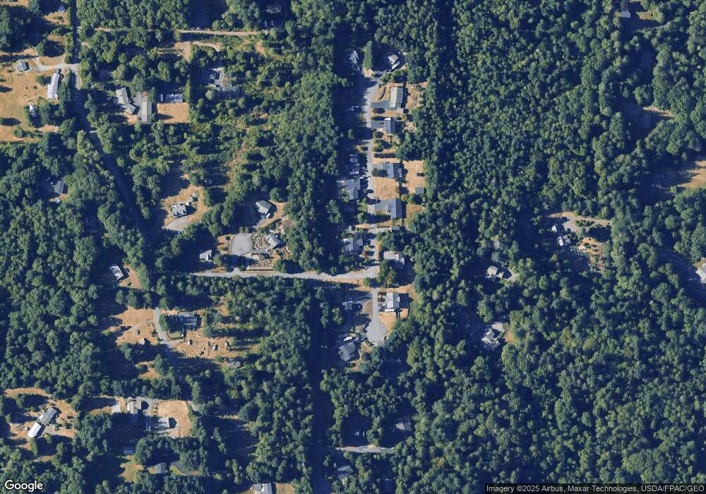
Map
Nearby Homes
- 5495 E Collins Rd
- 5405 E Harbor Heights Dr
- 5787 E Collins Rd
- 1485 Eady Place E
- 803 Collins Creek Ln E
- 1135 Hillandale Dr E
- 1200 Baby Doll Rd E
- 3193 Woods Rd E
- 4798 E Stable Ln
- 6417 E Michigan St
- 1738 Lilypad Place E
- 5 Lots Lilypad Place E
- 3643 Beach Dr E
- 3538 Beach Dr E
- 7000 E Dakota St
- 6717 E Polk Ave
- 7041 E Washington St
- 1341 Salt Point Place E
- 7260 E Last Refuge Way
- 6997 E Bullseye St
- 2118 Dunrobin Ln E
- 5317 Tartan Ln E
- 2098 Buckhaven Ct E
- 2115 Dunrobin Ln E
- 2126 Dunrobin Ln E
- 5309 Tartan Ln E
- 2097 Buckhaven Ct E
- 2123 Dunrobin Ln E
- 2090 Buckhaven Ct E
- 2131 Dunrobin Ln E
- 2089 Buckhaven Ct E
- 5301 Tartan Ln E
- 2056 Opdal Rd E
- 2139 Dunrobin Ln E
- 1935 Mountain View Rd E
- 1901 Mountain View Rd E
- 2048 Opdal Rd E
- 1899 Connery Ln E
- 1891 Connery Ln E