Estimated Value: $88,000 - $124,000
Studio
--
Bath
--
Sq Ft
7.5
Acres
About This Home
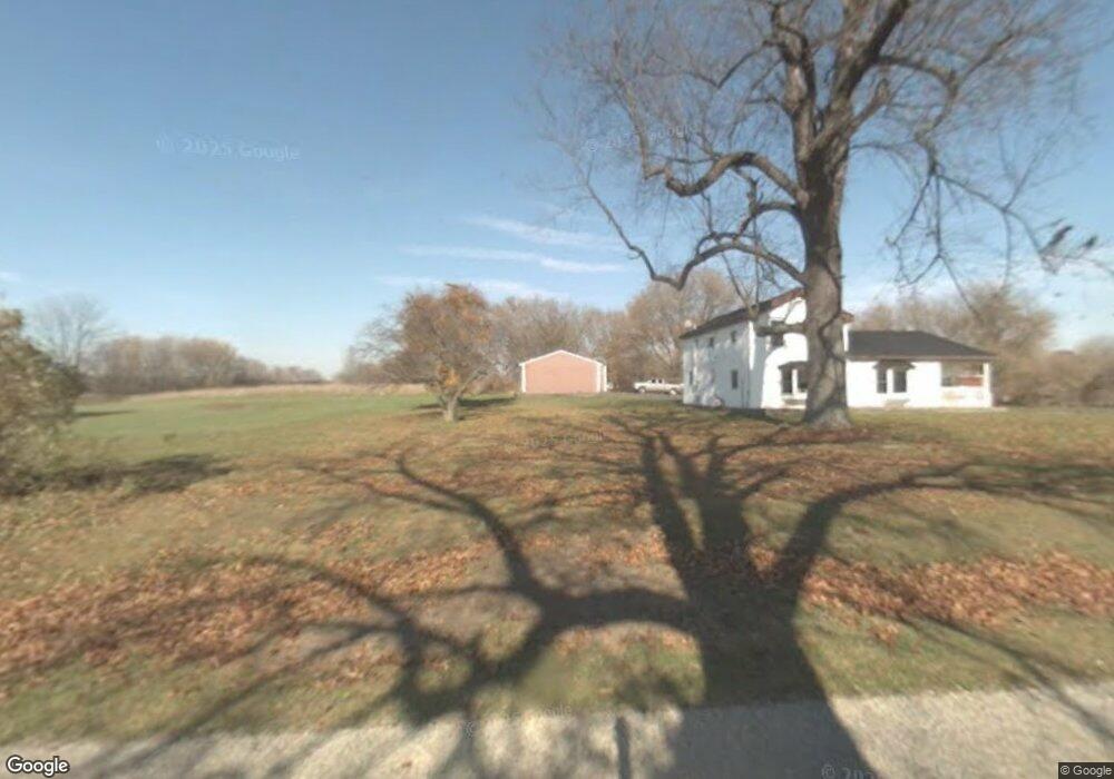
This home is located at 2110 Ellsworth Rd, Perry, MI 48872 and is currently estimated at $106,000. 2110 Ellsworth Rd is a home located in Shiawassee County with nearby schools including Perry Elementary School, Perry Middle School, and Perry High School.
Ownership History
Date
Name
Owned For
Owner Type
Purchase Details
Closed on
Jun 28, 2018
Sold by
Todd Grubb
Bought by
Crandall Cheressa and Mcleish Michael
Current Estimated Value
Home Financials for this Owner
Home Financials are based on the most recent Mortgage that was taken out on this home.
Original Mortgage
$142,500
Outstanding Balance
$123,634
Interest Rate
4.55%
Estimated Equity
-$17,634
Purchase Details
Closed on
Dec 21, 2005
Sold by
Gillespie Richard R
Bought by
Mortgage Electronic Registration Systems
Purchase Details
Closed on
Sep 5, 2001
Sold by
Merritt Joseph Eliot and Merritt Lori Lee
Bought by
Gillespie Richard R
Home Financials for this Owner
Home Financials are based on the most recent Mortgage that was taken out on this home.
Original Mortgage
$110,000
Interest Rate
5.71%
Mortgage Type
Purchase Money Mortgage
Create a Home Valuation Report for This Property
The Home Valuation Report is an in-depth analysis detailing your home's value as well as a comparison with similar homes in the area
Purchase History
| Date | Buyer | Sale Price | Title Company |
|---|---|---|---|
| Crandall Cheressa | $150,000 | -- | |
| Mortgage Electronic Registration Systems | $126,152 | None Available | |
| Gillespie Richard R | $160,000 | Transnation Title |
Source: Public Records
Mortgage History
| Date | Status | Borrower | Loan Amount |
|---|---|---|---|
| Open | Crandall Cheressa | $142,500 | |
| Closed | Crandall Cheressa | -- | |
| Previous Owner | Gillespie Richard R | $110,000 |
Source: Public Records
Tax History
| Year | Tax Paid | Tax Assessment Tax Assessment Total Assessment is a certain percentage of the fair market value that is determined by local assessors to be the total taxable value of land and additions on the property. | Land | Improvement |
|---|---|---|---|---|
| 2025 | $711 | $34,100 | $0 | $0 |
| 2024 | $711 | $23,100 | $0 | $0 |
| 2023 | $359 | $16,100 | $0 | $0 |
| 2022 | $682 | $16,100 | $0 | $0 |
| 2021 | $652 | $13,900 | $0 | $0 |
| 2020 | $665 | $13,900 | $0 | $0 |
| 2019 | $656 | $13,900 | $0 | $0 |
| 2018 | $414 | $12,400 | $0 | $0 |
| 2017 | $355 | $12,400 | $0 | $0 |
| 2016 | -- | $12,400 | $0 | $0 |
| 2015 | -- | $12,400 | $0 | $0 |
| 2014 | $52 | $12,400 | $0 | $0 |
Source: Public Records
Map
Nearby Homes
- 4 Blue Water Way
- 12395 S M 52
- 0 M-52 Hwy Unit 261982
- 314 N Main
- 331 Scarlett Oak Ln
- 603 Country Dr
- 807 Little Creek Path
- 712 Starlight Way
- 00 W Riverview Dr
- 539 N Main
- 10980 S M 52
- 604 Launch Point Dr
- 612 Launch Point Dr
- 606 Launch Point Dr
- 0 E Lansing Rd
- 7228 W Beard Rd
- 126 W Mason
- 1100 W Lansing Rd
- 510 N Skyview Dr
- 4751 Bath Rd
- 2110 Ellsworth Rd
- 2110 W Ellsworth Rd
- 2201 Ellsworth Rd
- 2107 Ellsworth Rd
- 12545 S Delaney Rd
- 12609 S Delaney Rd
- 2264 Ellsworth Rd
- 2416 Ellsworth Rd
- 2416 Ellsworth Rd
- 2416 Ellsworth Rd
- 12623 S Delaney Rd
- 1947 Ellsworth Rd
- 1947 Ellsworth Rd
- 12723 S Delaney Rd
- 12725 S Delaney Rd
- 12755 S Delaney Rd
- 2804 Ellsworth Rd
- 1780 Ellsworth Rd
- 2451 Ellsworth Rd
- 2450 Ellsworth Rd
Your Personal Tour Guide
Ask me questions while you tour the home.