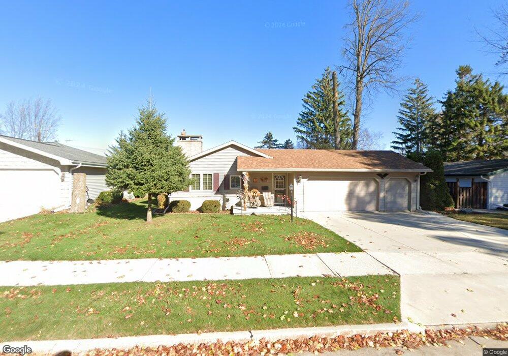
2110 Granger Rd Manitowoc, WI 54220
Estimated Value: $240,701 - $242,000
3
Beds
2
Baths
1,206
Sq Ft
$200/Sq Ft
Est. Value
About This Home
This home is located at 2110 Granger Rd, Manitowoc, WI 54220 and is currently estimated at $241,351, approximately $200 per square foot. 2110 Granger Rd is a home located in Manitowoc County with nearby schools including Jackson Elementary School, Wilson Middle School, and Lincoln High School.
Ownership History
Date
Name
Owned For
Owner Type
Purchase Details
Closed on
Mar 16, 2005
Sold by
Deprey James W
Bought by
Zietlow Donald J and Zietlow Patricia L
Current Estimated Value
Create a Home Valuation Report for This Property
The Home Valuation Report is an in-depth analysis detailing your home's value as well as a comparison with similar homes in the area
Home Values in the Area
Average Home Value in this Area
Purchase History
| Date | Buyer | Sale Price | Title Company |
|---|---|---|---|
| Zietlow Donald J | $132,000 | None Available |
Source: Public Records
Tax History
| Year | Tax Paid | Tax Assessment Tax Assessment Total Assessment is a certain percentage of the fair market value that is determined by local assessors to be the total taxable value of land and additions on the property. | Land | Improvement |
|---|---|---|---|---|
| 2024 | $3,248 | $197,800 | $22,600 | $175,200 |
| 2023 | $2,983 | $197,800 | $22,600 | $175,200 |
| 2022 | $2,611 | $144,700 | $22,600 | $122,100 |
| 2021 | $2,612 | $144,700 | $22,600 | $122,100 |
| 2020 | $2,745 | $137,900 | $22,600 | $115,300 |
| 2019 | $2,706 | $137,900 | $22,600 | $115,300 |
| 2018 | $2,661 | $137,900 | $22,600 | $115,300 |
| 2017 | $2,631 | $137,900 | $22,600 | $115,300 |
| 2016 | $2,729 | $137,900 | $22,600 | $115,300 |
| 2015 | $2,807 | $137,900 | $22,600 | $115,300 |
| 2014 | -- | $137,900 | $22,600 | $115,300 |
| 2013 | $2,769 | $137,900 | $22,600 | $115,300 |
Source: Public Records
Map
Nearby Homes
- 1402 N 21st St
- 1433 N 23rd St
- 2014 Markham St
- 2224 Markham St
- Lot 2 N 18th St
- 1128 N 17th St
- 1616 Ahrens St
- 1820 Rankin St
- 1936 Ravenswood Ln
- 1934 Ravenswood Ln
- 1928 Ravenswood Ln
- 1926 Ravenswood Ln
- 1922 Ravenswood Ln
- 1920 Ravenswood Ln
- 1619 Orchard Dr
- 925 N 16th St
- 1127 Tanglewood Rd
- 1337 N 9th St
- 1316 N 8th St
- 3718 Westwood Ln
- 2104 Granger Rd
- 2116 Granger Rd
- 2109 Menasha Ave
- 1520 N 21st St
- 1428 N 21st St
- 2122 Granger Rd
- 2123 Menasha Ave
- 2026 Granger Rd
- 2128 Granger Rd
- 1424 N 21st St
- 1515 N 21st St
- 2127 Menasha Ave
- 1431 Arden Ln
- 2022 Granger Rd
- 1430 Arden Ln
- 2134 Granger Rd
- 1425 N 21st St
- 1420 N 21st St
- 2133 Granger Rd
- 2133 Menasha Ave
Your Personal Tour Guide
Ask me questions while you tour the home.