2110 Laurel Oak Dr Unit 279 Howell, MI 48855
Estimated Value: $303,000 - $358,000
3
Beds
1
Bath
1,232
Sq Ft
$268/Sq Ft
Est. Value
About This Home
This home is located at 2110 Laurel Oak Dr Unit 279, Howell, MI 48855 and is currently estimated at $330,010, approximately $267 per square foot. 2110 Laurel Oak Dr Unit 279 is a home located in Livingston County with nearby schools including Ruahmah J. Hutchings Elementary, Parker Middle School, and Howell High School.
Ownership History
Date
Name
Owned For
Owner Type
Purchase Details
Closed on
Apr 9, 2019
Sold by
Dunleavy Cynthia M
Bought by
Cynthia M Dunleavy Ret
Current Estimated Value
Purchase Details
Closed on
Aug 29, 2013
Sold by
Livingston County Habitat For Humanity I
Bought by
Dunleavy Cynthia M
Purchase Details
Closed on
May 8, 2012
Sold by
Holmes Gary Lynn
Bought by
Livingston County Habitat For Humanity
Purchase Details
Closed on
Apr 12, 2002
Sold by
Livingston County Habitat For Humanity I
Bought by
Holmes Gary Lynn and Bukowski Marguerite Louise
Purchase Details
Closed on
Mar 29, 2001
Sold by
Ronald R Godair Builder Inc
Bought by
Livingston County Habitat Humanity Inc
Purchase Details
Closed on
Mar 27, 2001
Sold by
M & 59 Inc
Bought by
Ronald R Godair Builder Inc
Create a Home Valuation Report for This Property
The Home Valuation Report is an in-depth analysis detailing your home's value as well as a comparison with similar homes in the area
Home Values in the Area
Average Home Value in this Area
Purchase History
| Date | Buyer | Sale Price | Title Company |
|---|---|---|---|
| Cynthia M Dunleavy Ret | -- | -- | |
| Dunleavy Cynthia M | $97,200 | -- | |
| Livingston County Habitat For Humanity | $5,000 | -- | |
| Holmes Gary Lynn | $160,000 | Select Title | |
| Livingston County Habitat Humanity Inc | $46,000 | Metropolitan Title Company | |
| Ronald R Godair Builder Inc | $38,000 | -- |
Source: Public Records
Tax History Compared to Growth
Tax History
| Year | Tax Paid | Tax Assessment Tax Assessment Total Assessment is a certain percentage of the fair market value that is determined by local assessors to be the total taxable value of land and additions on the property. | Land | Improvement |
|---|---|---|---|---|
| 2025 | $1,326 | $137,900 | $0 | $0 |
| 2024 | $1,288 | $134,200 | $0 | $0 |
| 2023 | $1,230 | $121,000 | $0 | $0 |
| 2022 | $1,724 | $100,400 | $0 | $0 |
| 2021 | $1,724 | $106,000 | $0 | $0 |
| 2020 | $1,724 | $100,400 | $0 | $0 |
| 2019 | $1,699 | $91,200 | $0 | $0 |
| 2018 | $1,679 | $85,200 | $0 | $0 |
| 2017 | $1,657 | $82,600 | $0 | $0 |
| 2016 | $1,648 | $79,500 | $0 | $0 |
| 2014 | $1,809 | $66,700 | $0 | $0 |
| 2012 | $1,809 | $61,800 | $0 | $0 |
Source: Public Records
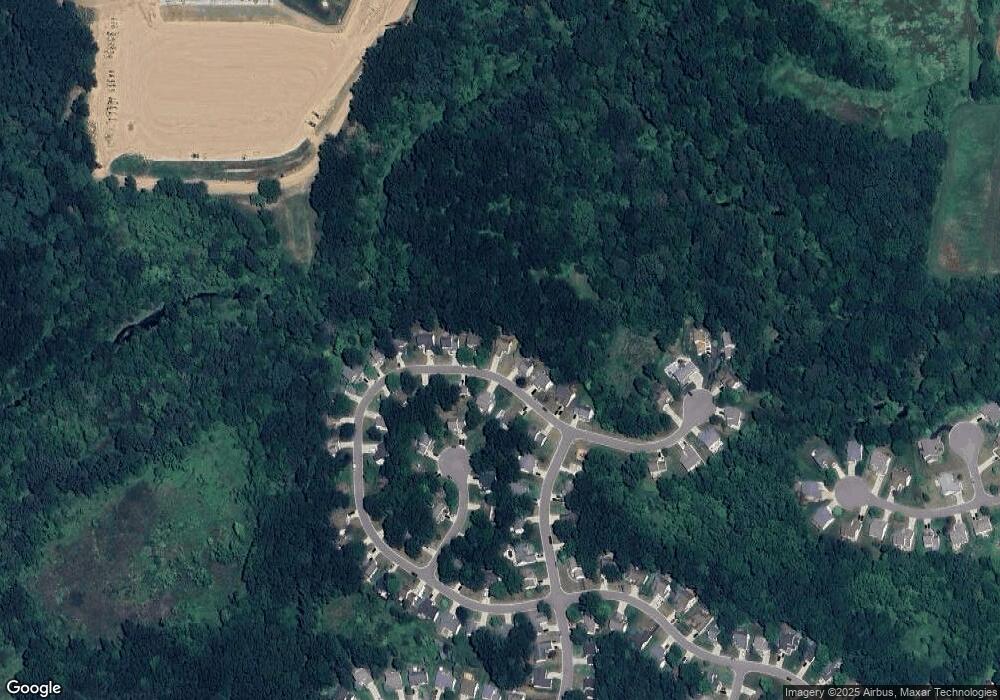
Map
Nearby Homes
- 2511 Kerria Dr Unit 42
- 1570 Princewood Blvd
- 2495 Moore Place
- 1400 Oakcrest Rd
- 1633 Frech Ln
- 2500 Fisher Rd
- 3040 Bogues View Dr
- VACANT LOT Thompson Shore Dr
- 559 Cannonade Loop
- 2932 Bogue Creek Dr
- 475 Cannonade Loop
- The Austin Plan at Broadmoor
- The Charlotte Plan at Broadmoor
- The Harrison Plan at Broadmoor
- The Bloomington Plan at Broadmoor
- The Columbia Plan at Broadmoor
- 571 Cannonade Loop
- 523 Cannonade Loop
- 583 Cannonade Loop
- 2424 Fisher Rd
- 2118 Laurel Oak Dr Unit 280
- 2102 Laurel Oak Dr Unit 278
- 2126 Laurel Oak Dr Unit 281
- 2094 Laurel Oak Dr
- 2105 Laurel Oak Dr Unit 274
- 2121 Laurel Oak Dr Unit 273
- 2121 Laurel Oak Dr N
- 2091 Laurel Oak Dr Unit 275
- 2134 Laurel Oak Dr Unit 282
- 2134 Laurel Oak Dr N
- 2086 Laurel Oak Dr Unit 276
- 2133 Laurel Oak Dr Unit 272
- 2133 Laurel Oak Dr N
- 2050 Saddle Ridge Ct Unit 262
- 2085 Laurel Oak Dr
- 2063 Saddle Ridge Ct Unit 261
- 2142 Laurel Oak Dr Unit 283
- 2078 Laurel Oak Dr
- 1891 Hickory Hills Blvd Unit 252
- 2150 Laurel Oak Dr Unit 284