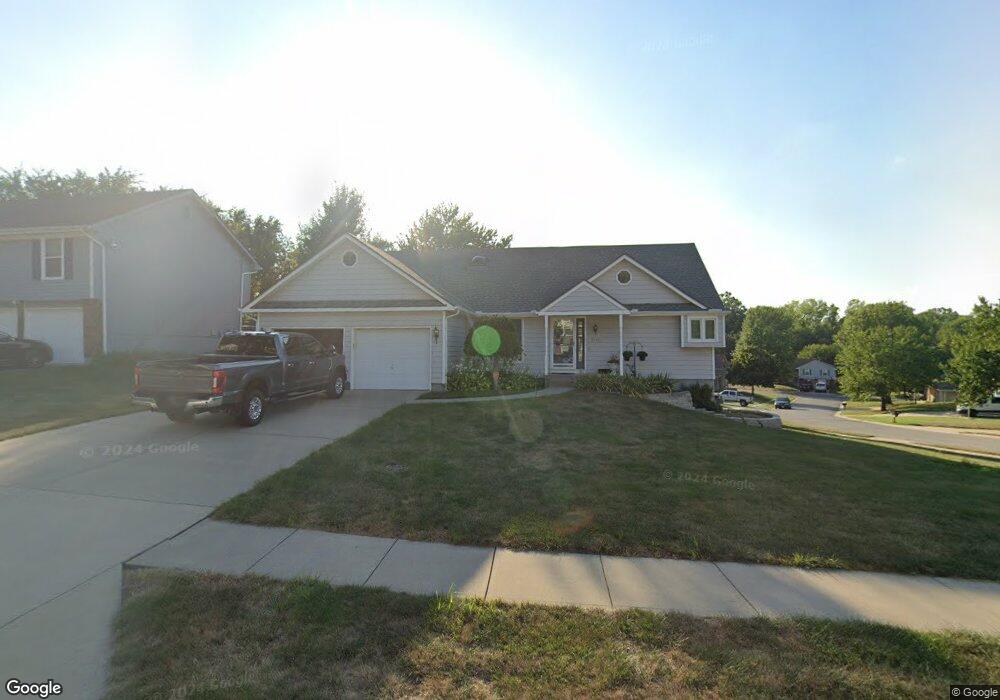
2110 N Colony Ln Independence, MO 64058
Estimated Value: $285,000 - $350,000
3
Beds
3
Baths
1,984
Sq Ft
$160/Sq Ft
Est. Value
About This Home
This home is located at 2110 N Colony Ln, Independence, MO 64058 and is currently estimated at $317,560, approximately $160 per square foot. 2110 N Colony Ln is a home located in Jackson County with nearby schools including Fort Osage High School.
Ownership History
Date
Name
Owned For
Owner Type
Purchase Details
Closed on
Feb 13, 2004
Sold by
Osiek Stephen D and Osiek Donna R
Bought by
Osiek Stephen D and Osiek Donna R
Current Estimated Value
Home Financials for this Owner
Home Financials are based on the most recent Mortgage that was taken out on this home.
Original Mortgage
$122,700
Interest Rate
4.12%
Mortgage Type
Stand Alone Refi Refinance Of Original Loan
Purchase Details
Closed on
May 29, 1997
Sold by
Ruth Osiek Stephen Douglas
Bought by
Osiek Stephen D and Osiek Donna R
Create a Home Valuation Report for This Property
The Home Valuation Report is an in-depth analysis detailing your home's value as well as a comparison with similar homes in the area
Home Values in the Area
Average Home Value in this Area
Purchase History
| Date | Buyer | Sale Price | Title Company |
|---|---|---|---|
| Osiek Stephen D | -- | Nations Title Agency Inc | |
| Osiek Stephen D | -- | -- |
Source: Public Records
Mortgage History
| Date | Status | Borrower | Loan Amount |
|---|---|---|---|
| Previous Owner | Osiek Stephen D | $122,700 |
Source: Public Records
Tax History Compared to Growth
Tax History
| Year | Tax Paid | Tax Assessment Tax Assessment Total Assessment is a certain percentage of the fair market value that is determined by local assessors to be the total taxable value of land and additions on the property. | Land | Improvement |
|---|---|---|---|---|
| 2025 | $4,589 | $47,741 | $6,171 | $41,570 |
| 2024 | $4,589 | $51,300 | $4,013 | $47,287 |
| 2023 | $6,140 | $69,264 | $5,941 | $63,323 |
| 2022 | $3,378 | $36,100 | $3,899 | $32,201 |
| 2021 | $3,381 | $36,100 | $3,899 | $32,201 |
| 2020 | $3,213 | $33,808 | $3,899 | $29,909 |
| 2019 | $3,148 | $33,808 | $3,899 | $29,909 |
| 2018 | $2,751 | $29,424 | $3,393 | $26,031 |
| 2017 | $2,751 | $29,424 | $3,393 | $26,031 |
| 2016 | $2,440 | $28,275 | $3,547 | $24,728 |
| 2014 | $2,404 | $27,721 | $3,478 | $24,243 |
Source: Public Records
Map
Nearby Homes
- 19201 E Park St
- 2100 N York St
- 2023 N Ethan Ln
- 2001 N Plymouth Rd
- 2006 N Concord Rd
- 1910 N York St
- 18903 E 22nd Terrace N
- 19600 E 20th St N
- 19706 E 20th St N
- 1815 N Ethan Ln
- 18606 E 20th Terrace N
- 1705 N Jones Ct
- 1923 N Blue Mills Rd
- 19713 E 17th Terrace N
- 1620 N Belvidere Ave
- 1713 N Arapaho Ct
- 18900 E Manor Dr
- 1524 N Geronimo Dr
- 1709 N Hanover Ave
- 19704 E 14th Terrace N
- 2108 N Colony Ln
- 2106 N Colony Ln
- 2107 N Colony Ln
- 2109 N Colony Ln
- 19204 E Park St
- 2105 N Colony Ln
- 19111 E Park St
- 19202 E Park St
- 2104 N Colony Ln
- 2103 N Colony Ln
- 2115 N Colony Ln
- 19110 E Roxsbury Ln
- 2101 N Colony Ln
- 2118 N Colony Ln
- 19107 E Park Ave
- 2104 N York St
- 19112 E Roxsbury Ln
- 19107 E Park St
- 19110 E Park St
- 2100 N Colony Ln