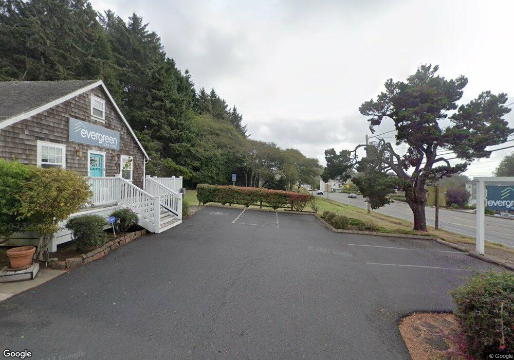
2110 NE 36th Dr Lincoln City, OR 97367
Estimated Value: $445,452
3
Beds
1
Bath
992
Sq Ft
$449/Sq Ft
Est. Value
About This Home
This home is located at 2110 NE 36th Dr, Lincoln City, OR 97367 and is currently estimated at $445,452, approximately $449 per square foot. 2110 NE 36th Dr is a home located in Lincoln County with nearby schools including Oceanlake Elementary School, Taft Elementary School, and Taft High School.
Ownership History
Date
Name
Owned For
Owner Type
Purchase Details
Closed on
May 9, 2018
Sold by
Opi Llc
Bought by
Msc Holdings 2 Llc
Current Estimated Value
Home Financials for this Owner
Home Financials are based on the most recent Mortgage that was taken out on this home.
Original Mortgage
$153,609
Outstanding Balance
$21,535
Interest Rate
4.4%
Mortgage Type
Commercial
Estimated Equity
$423,917
Purchase Details
Closed on
Aug 29, 2005
Sold by
Knight Elbert Sherman and Knight Georgia
Bought by
Oksenholt Commercial Properties Inc
Home Financials for this Owner
Home Financials are based on the most recent Mortgage that was taken out on this home.
Original Mortgage
$120,000
Interest Rate
5.72%
Mortgage Type
Commercial
Create a Home Valuation Report for This Property
The Home Valuation Report is an in-depth analysis detailing your home's value as well as a comparison with similar homes in the area
Home Values in the Area
Average Home Value in this Area
Purchase History
| Date | Buyer | Sale Price | Title Company |
|---|---|---|---|
| Msc Holdings 2 Llc | -- | Accommodation | |
| Oksenholt Commercial Properties Inc | $175,000 | Western Title & Escrow Co |
Source: Public Records
Mortgage History
| Date | Status | Borrower | Loan Amount |
|---|---|---|---|
| Open | Msc Holdings 2 Llc | $153,609 | |
| Previous Owner | Oksenholt Commercial Properties Inc | $120,000 |
Source: Public Records
Tax History Compared to Growth
Tax History
| Year | Tax Paid | Tax Assessment Tax Assessment Total Assessment is a certain percentage of the fair market value that is determined by local assessors to be the total taxable value of land and additions on the property. | Land | Improvement |
|---|---|---|---|---|
| 2024 | $2,730 | $160,110 | -- | -- |
| 2023 | $2,654 | $155,450 | $0 | $0 |
| 2022 | $2,581 | $150,930 | $0 | $0 |
| 2021 | $2,458 | $146,540 | $0 | $0 |
| 2020 | $2,402 | $142,280 | $0 | $0 |
| 2019 | $2,320 | $138,140 | $0 | $0 |
| 2018 | $0 | $0 | $0 | $0 |
| 2017 | $0 | $0 | $0 | $0 |
| 2016 | $0 | $0 | $0 | $0 |
| 2015 | -- | $0 | $0 | $0 |
| 2014 | -- | $0 | $0 | $0 |
Source: Public Records
Map
Nearby Homes
- 3848 NW Port Ave
- 3595 NE Reef Dr
- 1900 Blk Nw 38th Street Tl5000
- 1900 Blk Nw 38th Tl5000
- 3522 NE Quay Ave
- 3570 NE Reef Dr
- 3507 NW Port Ave
- 1830 NW 35th Place
- 3432 NW Port Ct
- 4000 NW Blk 40th St
- 1756 NW 35th Place
- 4000 Blk NW 40th St
- 3700 NE Surf Ave
- 1938 NW 40th St
- 3700 Blk NE Surf Ave
- 1715 NW 35th Place
- 1616 NW 36th St
- 2064 NW 33rd St
- 1587 NW 39th St
- 3244 NW Oar Dr
- 1363 N Bear Creek Rd
- 2100 NE 36th Dr
- 2130 NE 36th Dr
- 3632 NE Highway 101
- 2123 NE 36th Dr
- 3691 NW U S 101
- 2200 NE 36th Dr Unit Parc1
- 2200 NE 36th Dr Unit Parc3
- 2015 NW 36th St
- 3722 NW Port Ave
- 3552 NE Quay Ave
- 3550 NE Quay Ave
- 3539 NE Quay Ave
- 3600 Port (Blk) NW
- 3800 NW Port Ave
- 3546 NE Quay Ave
- 2260 NE 36th Dr
- 2211 NE 36th Dr
- 3543 NE Reef Dr
- 3655 NW Port Ave