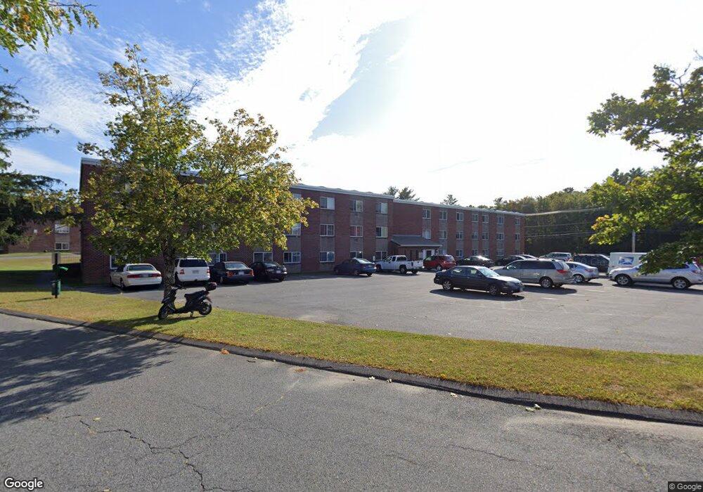
2110 Phillips Rd Unit 36 New Bedford, MA 02745
Estimated Value: $133,000 - $248,327
1
Bed
1
Bath
628
Sq Ft
$281/Sq Ft
Est. Value
About This Home
This home is located at 2110 Phillips Rd Unit 36, New Bedford, MA 02745 and is currently estimated at $176,582, approximately $281 per square foot. 2110 Phillips Rd Unit 36 is a home located in Bristol County with nearby schools including Casimir Pulaski Elementary School, Normandin Middle School, and New Bedford High School.
Ownership History
Date
Name
Owned For
Owner Type
Purchase Details
Closed on
Dec 15, 2021
Sold by
S Coast Affordable Rental
Bought by
Middleboro Ark Llc
Current Estimated Value
Purchase Details
Closed on
Apr 22, 2013
Sold by
Gonsalves Lawrnece M and Saint Annes Cu Fall Ri
Bought by
S Coast Afford Rent Llc
Purchase Details
Closed on
May 3, 2004
Sold by
Martini Jeffrey A
Bought by
Gonsalves Lawrence M
Home Financials for this Owner
Home Financials are based on the most recent Mortgage that was taken out on this home.
Original Mortgage
$32,000
Interest Rate
5.36%
Mortgage Type
Purchase Money Mortgage
Purchase Details
Closed on
Aug 4, 1987
Sold by
Eagle Condo Inv Ii
Bought by
Martini Jeffrey A
Home Financials for this Owner
Home Financials are based on the most recent Mortgage that was taken out on this home.
Original Mortgage
$47,900
Interest Rate
10.43%
Mortgage Type
Purchase Money Mortgage
Create a Home Valuation Report for This Property
The Home Valuation Report is an in-depth analysis detailing your home's value as well as a comparison with similar homes in the area
Home Values in the Area
Average Home Value in this Area
Purchase History
| Date | Buyer | Sale Price | Title Company |
|---|---|---|---|
| Middleboro Ark Llc | $637,000 | None Available | |
| Middleboro Ark Llc | $637,000 | None Available | |
| S Coast Afford Rent Llc | $18,000 | -- | |
| S Coast Afford Rent Llc | $18,000 | -- | |
| Gonsalves Lawrence M | $62,000 | -- | |
| Gonsalves Lawrence M | $62,000 | -- | |
| Martini Jeffrey A | $59,900 | -- |
Source: Public Records
Mortgage History
| Date | Status | Borrower | Loan Amount |
|---|---|---|---|
| Previous Owner | Martini Jeffrey A | $32,000 | |
| Previous Owner | Martini Jeffrey A | $46,000 | |
| Previous Owner | Martini Jeffrey A | $47,900 |
Source: Public Records
Tax History Compared to Growth
Tax History
| Year | Tax Paid | Tax Assessment Tax Assessment Total Assessment is a certain percentage of the fair market value that is determined by local assessors to be the total taxable value of land and additions on the property. | Land | Improvement |
|---|---|---|---|---|
| 2025 | $1,240 | $109,600 | $0 | $109,600 |
| 2024 | $1,306 | $108,800 | $0 | $108,800 |
| 2023 | $1,025 | $71,700 | $0 | $71,700 |
| 2022 | $949 | $61,100 | $0 | $61,100 |
| 2021 | $809 | $51,900 | $0 | $51,900 |
| 2020 | $835 | $51,700 | $0 | $51,700 |
| 2019 | $822 | $49,900 | $0 | $49,900 |
| 2018 | $659 | $39,600 | $0 | $39,600 |
| 2017 | $566 | $33,900 | $0 | $33,900 |
| 2016 | $506 | $30,700 | $0 | $30,700 |
| 2015 | $483 | $30,700 | $0 | $30,700 |
| 2014 | $497 | $32,800 | $0 | $32,800 |
Source: Public Records
Map
Nearby Homes
- 210 Heritage Dr
- 64 Blaze Rd
- 145 Heritage Dr
- 34 Poplar Rd
- 1063 Westgate St
- 13 Luscomb Ln
- 16 Swallow St
- 1069 Cherokee St
- SS Charbonneau Ln
- ES Phillips Rd
- 50 Blueberry Dr
- 1475 Braley Rd Unit 17
- 319 Northwest St
- 1350 Phillips Rd
- 37 Maxine St
- 1045 Forbes St
- 4597 Acushnet Ave
- 599 Quanapoag Rd
- 40 Foley Dr
- ES Acushnet Ave
- 2110 Phillips Rd Unit 26
- 2110 Phillips Rd Unit 25
- 2110 Phillips Rd Unit 20
- 2110 Phillips Rd Unit 7
- 2110 Phillips Rd Unit 6
- 2110 Phillips Rd Unit 35
- 2110 Phillips Rd Unit 31
- 2110 Phillips Rd Unit 38
- 2110 Phillips Rd Unit 1
- 2110 Phillips Rd Unit 30
- 2110 Phillips Rd Unit 16
- 2110 Phillips Rd Unit 24
- 2110 Phillips Rd Unit 28
- 2110 Phillips Rd Unit 22
- 2110 Phillips Rd Unit 15
- 2110 Phillips Rd Unit 10
- 2110 Phillips Rd Unit 11
- 2110 Phillips Rd Unit 9
- 2110 Phillips Rd Unit 12
- 2110 Phillips Rd Unit 4