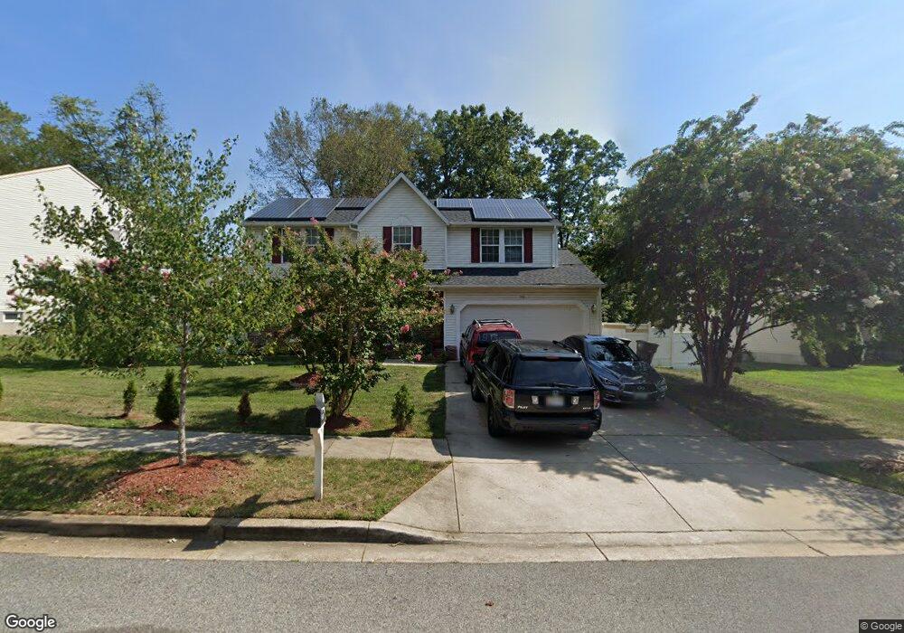
2110 Robert Bowie Dr Upper Marlboro, MD 20774
Brown Station NeighborhoodEstimated Value: $536,440 - $602,000
4
Beds
3
Baths
2,140
Sq Ft
$263/Sq Ft
Est. Value
About This Home
This home is located at 2110 Robert Bowie Dr, Upper Marlboro, MD 20774 and is currently estimated at $563,610, approximately $263 per square foot. 2110 Robert Bowie Dr is a home located in Prince George's County with nearby schools including Perrywood Elementary School, Kettering Middle School, and Largo High School.
Ownership History
Date
Name
Owned For
Owner Type
Purchase Details
Closed on
Mar 20, 2025
Sold by
Sampson Tafortha and Sampson Kenan
Bought by
Sampson Tafortha and Sampson Kenan F
Current Estimated Value
Purchase Details
Closed on
May 19, 2010
Sold by
Shields William J and Shields Lanna J
Bought by
Doherty Victor and Sampson Tafortha
Home Financials for this Owner
Home Financials are based on the most recent Mortgage that was taken out on this home.
Original Mortgage
$281,310
Interest Rate
5.5%
Mortgage Type
FHA
Purchase Details
Closed on
Nov 14, 1990
Sold by
Wh Properties Ltd
Bought by
Shields William J and Shields Lanna J
Create a Home Valuation Report for This Property
The Home Valuation Report is an in-depth analysis detailing your home's value as well as a comparison with similar homes in the area
Home Values in the Area
Average Home Value in this Area
Purchase History
| Date | Buyer | Sale Price | Title Company |
|---|---|---|---|
| Sampson Tafortha | -- | Preferred Title | |
| Sampson Tafortha | -- | Preferred Title | |
| Doherty Victor | $286,500 | -- | |
| Shields William J | $181,000 | -- |
Source: Public Records
Mortgage History
| Date | Status | Borrower | Loan Amount |
|---|---|---|---|
| Previous Owner | Doherty Victor | $281,310 |
Source: Public Records
Tax History Compared to Growth
Tax History
| Year | Tax Paid | Tax Assessment Tax Assessment Total Assessment is a certain percentage of the fair market value that is determined by local assessors to be the total taxable value of land and additions on the property. | Land | Improvement |
|---|---|---|---|---|
| 2024 | $5,447 | $437,900 | $0 | $0 |
| 2023 | $5,182 | $402,600 | $0 | $0 |
| 2022 | $4,865 | $367,300 | $101,300 | $266,000 |
| 2021 | $4,892 | $352,700 | $0 | $0 |
| 2020 | $4,793 | $338,100 | $0 | $0 |
| 2019 | $4,668 | $323,500 | $100,600 | $222,900 |
| 2018 | $4,500 | $305,100 | $0 | $0 |
| 2017 | $4,359 | $286,700 | $0 | $0 |
| 2016 | -- | $268,300 | $0 | $0 |
| 2015 | $4,454 | $260,333 | $0 | $0 |
| 2014 | $4,454 | $252,367 | $0 | $0 |
Source: Public Records
Map
Nearby Homes
- 2115 Robert Bowie Dr
- 12306 Markby Ct
- 1808 Robert Lewis Ave
- 1917 Crack Willow Ct
- 2004 Bart Ct
- 1304 Bloxham Ct
- 12250 Open View Ln
- 12310 Open View Ln
- 1017 Treeland Way
- 1202 Blithe Ct
- 937 Pine Forest Ln Unit 1908
- 12354 Rollys Ridge Ave
- 900 Pine Forest Ln
- 1109 Mandarin Dr
- 14101 Silver Teal Way
- 950 Dunloring Ct
- 11702 Carol Ann Ct
- 905 Faber Place
- 1414 Canadien Geese Ct
- 11200 Lenox Dr
- 2112 Robert Bowie Dr
- 2106 Robert Bowie Dr
- 2103 Dorking Run
- 2116 Robert Bowie Dr
- 12403 Ronald Beall Rd
- 2105 Dorking Run
- 2100 Robert Bowie Dr
- 2109 Robert Bowie Dr
- 2107 Robert Bowie Dr
- 2111 Robert Bowie Dr
- 2120 Robert Bowie Dr
- 2113 Robert Bowie Dr
- 12405 Ronald Beall Rd
- 2103 Robert Bowie Dr
- 2106 Dorking Run
- 12317 Ronald Beall Rd
- 2122 Robert Bowie Dr
- 2117 Robert Bowie Dr
- 2016 Robert Bowie Dr
- 2104 Dorking Run