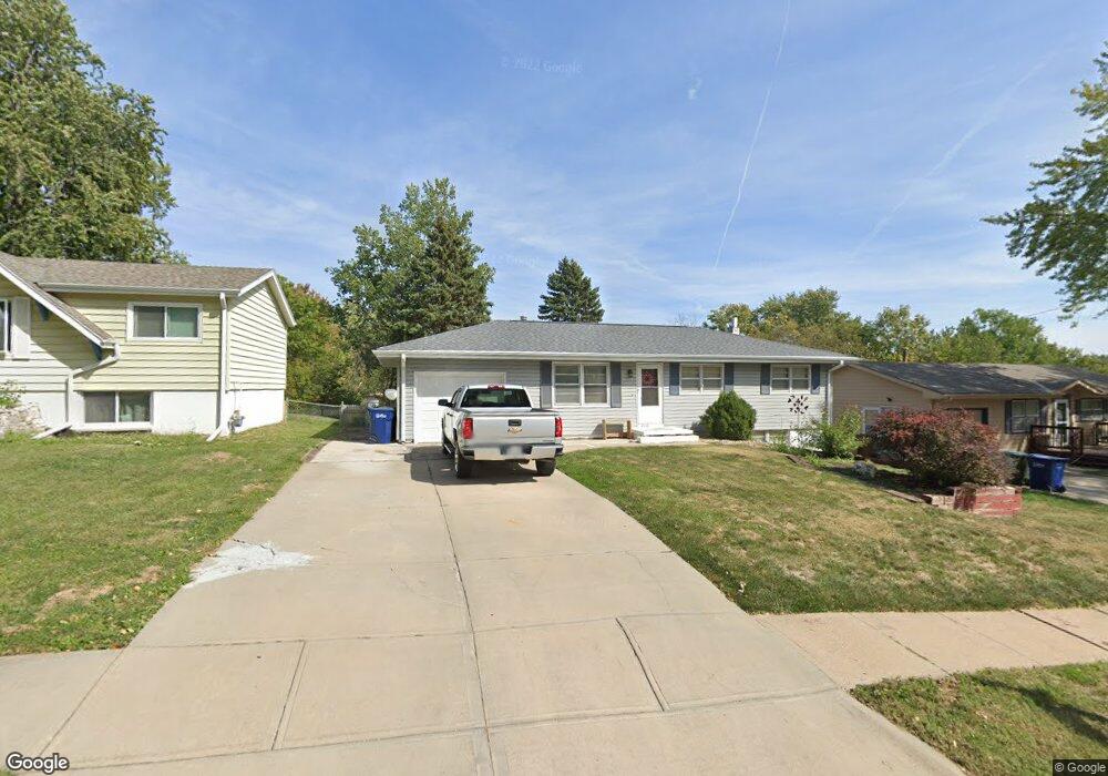
2110 Twinridge Dr Bellevue, NE 68005
Estimated Value: $195,128 - $226,000
3
Beds
4
Baths
1,540
Sq Ft
$140/Sq Ft
Est. Value
About This Home
This home is located at 2110 Twinridge Dr, Bellevue, NE 68005 and is currently estimated at $215,282, approximately $139 per square foot. 2110 Twinridge Dr is a home located in Sarpy County with nearby schools including Twin Ridge Elementary School, Logan Fontenelle Middle School, and Bellevue East High School.
Ownership History
Date
Name
Owned For
Owner Type
Purchase Details
Closed on
Sep 8, 2016
Sold by
Kuehn Marlys Jane
Bought by
Mayfield Cynthia
Current Estimated Value
Purchase Details
Closed on
Mar 3, 1999
Sold by
Mesnard Duane T and Mesnard Lynn B
Bought by
Kuehn Donald W and Kuehn Marlys J
Home Financials for this Owner
Home Financials are based on the most recent Mortgage that was taken out on this home.
Original Mortgage
$87,900
Interest Rate
6.89%
Create a Home Valuation Report for This Property
The Home Valuation Report is an in-depth analysis detailing your home's value as well as a comparison with similar homes in the area
Home Values in the Area
Average Home Value in this Area
Purchase History
| Date | Buyer | Sale Price | Title Company |
|---|---|---|---|
| Mayfield Cynthia | -- | None Available | |
| Kuehn Donald W | $88,000 | -- |
Source: Public Records
Mortgage History
| Date | Status | Borrower | Loan Amount |
|---|---|---|---|
| Previous Owner | Kuehn Donald W | $87,900 |
Source: Public Records
Tax History
| Year | Tax Paid | Tax Assessment Tax Assessment Total Assessment is a certain percentage of the fair market value that is determined by local assessors to be the total taxable value of land and additions on the property. | Land | Improvement |
|---|---|---|---|---|
| 2025 | $2,794 | $175,647 | $38,000 | $137,647 |
| 2024 | $3,150 | $160,470 | $34,000 | $126,470 |
| 2023 | $3,150 | $149,192 | $30,000 | $119,192 |
| 2022 | $2,802 | $130,206 | $28,000 | $102,206 |
| 2021 | $2,540 | $116,756 | $28,000 | $88,756 |
| 2020 | $2,497 | $114,447 | $23,000 | $91,447 |
| 2019 | $2,363 | $108,965 | $23,000 | $85,965 |
| 2018 | $2,178 | $103,157 | $23,000 | $80,157 |
| 2017 | $2,174 | $102,257 | $23,000 | $79,257 |
| 2016 | $2,021 | $97,136 | $23,000 | $74,136 |
| 2015 | $1,962 | $94,880 | $23,000 | $71,880 |
| 2014 | $2,007 | $96,393 | $23,000 | $73,393 |
| 2012 | -- | $99,984 | $23,000 | $76,984 |
Source: Public Records
Map
Nearby Homes
- 1314 Hansen Ave
- 1206 Skyview Dr
- 403 Garden Ave
- 1302 Wilroy Rd Unit 1
- 1811 Brenda Dr
- 2804 Greensboro Ave
- LOT 11A1B Tbd
- 1503 Bryan Ave
- 1216 Hillcrest Dr
- 2007 Betz Rd Unit 5B
- 302 Kings Dr
- 1227 Sunset Dr
- 102 Crestridge Dr
- 1503 Pelton Ave
- 1704 Pelton Ave
- 1712 Pelton Ave
- 1703 Pelton Ave
- 1214 Bellaire Blvd
- 702 Sherman Dr
- 703 Vernon Ave
- 2112 Twinridge Dr
- 2108 Twinridge Dr
- 1114 Kingston Ave
- 2106 Twinridge Dr
- 2114 Twinridge Dr
- 1112 Kingston Ave
- 1116 Kingston Ave
- 2111 Twinridge Dr
- 2109 Twinridge Dr
- 2104 Twinridge Dr
- 1118 Kingston Ave
- 2107 Twinridge Dr
- 1110 Kingston Ave
- 2116 Twinridge Dr
- 2105 Twinridge Dr
- 2115 Twinridge Dr
- 1120 Kingston Ave
- 2102 Twinridge Dr
- 1108 Kingston Ave
- 2202 Twinridge Dr
Your Personal Tour Guide
Ask me questions while you tour the home.