Estimated Value: $409,000 - $456,556
--
Bed
--
Bath
--
Sq Ft
7.19
Acres
About This Home
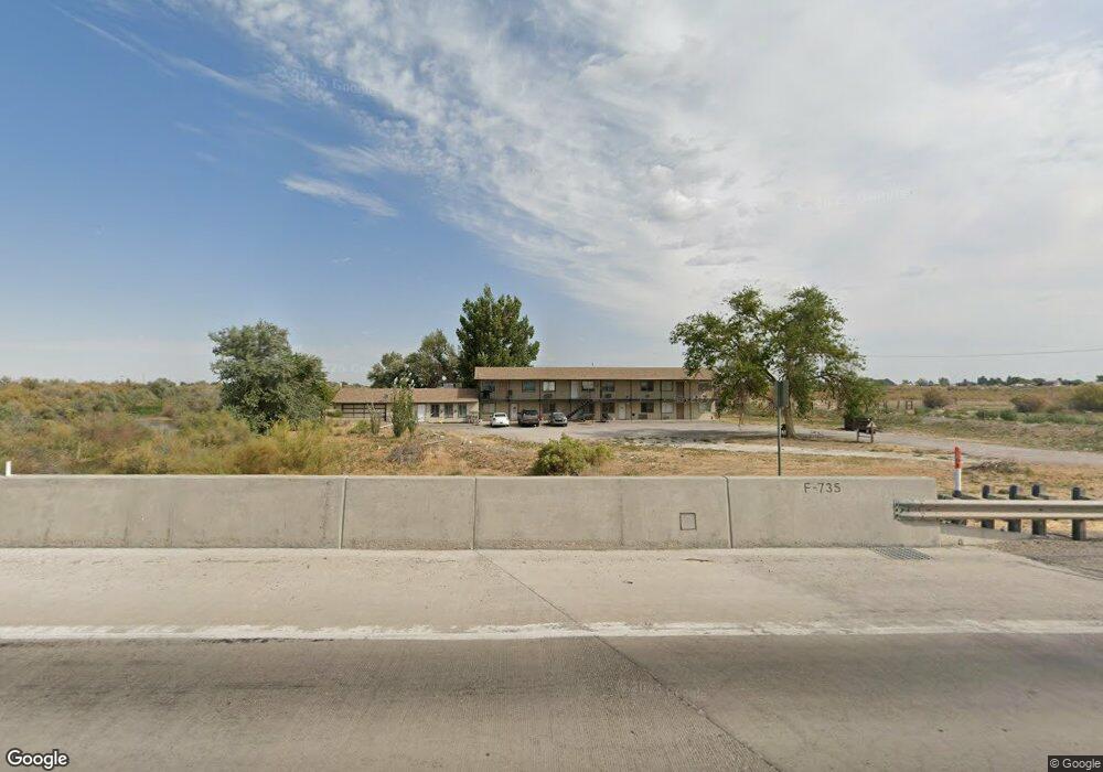
This home is located at 2110 W Highway 50, Delta, UT 84624 and is currently estimated at $427,185. 2110 W Highway 50 is a home with nearby schools including Cba Center and White River Academy.
Ownership History
Date
Name
Owned For
Owner Type
Purchase Details
Closed on
Feb 6, 2014
Bought by
Kcb Properties Llc
Current Estimated Value
Purchase Details
Closed on
Jan 15, 2014
Sold by
Shelley Shelley
Bought by
Thornblad Richard R
Purchase Details
Closed on
Nov 23, 2011
Sold by
Jst Real Estate Llc
Bought by
Rrt Real Estate Llc
Purchase Details
Closed on
Jun 20, 2008
Sold by
Rrt Properties Llc
Bought by
Jst Real Estate Llc
Home Financials for this Owner
Home Financials are based on the most recent Mortgage that was taken out on this home.
Original Mortgage
$275,000
Interest Rate
6%
Mortgage Type
Purchase Money Mortgage
Create a Home Valuation Report for This Property
The Home Valuation Report is an in-depth analysis detailing your home's value as well as a comparison with similar homes in the area
Home Values in the Area
Average Home Value in this Area
Purchase History
| Date | Buyer | Sale Price | Title Company |
|---|---|---|---|
| Kcb Properties Llc | -- | National Title Agency | |
| Thornblad Richard R | -- | -- | |
| Rrt Real Estate Llc | -- | -- | |
| Jst Real Estate Llc | -- | -- |
Source: Public Records
Mortgage History
| Date | Status | Borrower | Loan Amount |
|---|---|---|---|
| Previous Owner | Jst Real Estate Llc | $275,000 |
Source: Public Records
Tax History Compared to Growth
Tax History
| Year | Tax Paid | Tax Assessment Tax Assessment Total Assessment is a certain percentage of the fair market value that is determined by local assessors to be the total taxable value of land and additions on the property. | Land | Improvement |
|---|---|---|---|---|
| 2025 | $2,254 | $277,895 | $24,202 | $253,693 |
| 2024 | $2,254 | $230,007 | $16,969 | $213,038 |
| 2023 | $2,421 | $230,007 | $16,969 | $213,038 |
| 2022 | $1,467 | $130,106 | $16,845 | $113,261 |
| 2021 | $1,523 | $130,353 | $17,092 | $113,261 |
| 2020 | $1,461 | $125,997 | $17,092 | $108,905 |
| 2019 | $1,448 | $125,997 | $17,092 | $108,905 |
| 2018 | $1,276 | $113,928 | $17,092 | $96,836 |
| 2017 | $1,293 | $110,628 | $13,792 | $96,836 |
| 2016 | $1,235 | $110,628 | $13,792 | $96,836 |
| 2015 | $1,235 | $110,628 | $13,792 | $96,836 |
| 2014 | -- | $110,628 | $13,792 | $96,836 |
| 2013 | -- | $116,438 | $13,792 | $102,646 |
Source: Public Records
Map
Nearby Homes
- 17000 W 2500 Rd S
- 16700 W 2500 South Rd
- 16800 W 2500 South Rd
- 0 Tbd 3000 Rd S Unit LotWP001
- 6500 W 2000 S
- 6177 S 3000 Rd W
- 242 S 400 W
- 435 W 100 S
- 294 S 300 W
- 3480 S 4000 W
- 451 W 300 N
- 163 W 100 S
- 331 W 200 N
- 328 S Center St
- 1025 N Main St
- 32 E 300 S
- 38 E 300 S
- 168 N 100 Rd W
- 700 Acres
- 1500 S 10000 W
- 2428 W 1500 Rd S
- 2428 W 1500 S
- 2167 W 1500 S
- 2168 W Highway 50
- 2450 W 1500 S
- 2540 S West St W
- 1346 S 2000 W
- 1254 S 2000 W
- 1450 S 2000 W
- 1396 S 2000 W
- 2672 W 1500 S
- 2000 S S West St W
- 1389 S 2000 W
- 1280 S 2000 W
- 2000 S West St W
- 2000 S West St W
- 1236 S 2000 W
- 3795 W 4000 S
- 9020 N 5000 W
- 186 Nottingham Dr