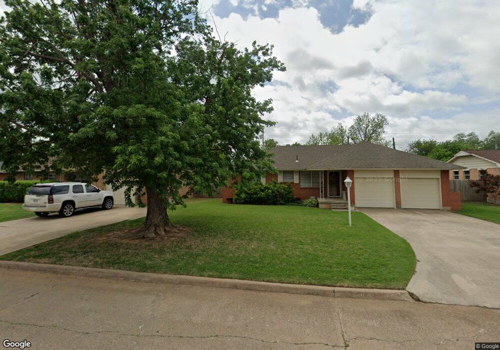
2110 W Randall Ave Duncan, OK 73533
Estimated Value: $107,000 - $128,000
3
Beds
2
Baths
1,092
Sq Ft
$109/Sq Ft
Est. Value
About This Home
This home is located at 2110 W Randall Ave, Duncan, OK 73533 and is currently estimated at $119,300, approximately $109 per square foot. 2110 W Randall Ave is a home located in Stephens County with nearby schools including Horace Mann Elementary School, Duncan Middle School, and Duncan High School.
Ownership History
Date
Name
Owned For
Owner Type
Purchase Details
Closed on
Aug 22, 2006
Sold by
Pollock Alvin D and Pollock Charlene R
Bought by
Richards Jerry Todd
Current Estimated Value
Purchase Details
Closed on
Aug 16, 2006
Sold by
Weatherly Homer D and Weatherly Nancy A
Bought by
Pollock Alvin D and Pollock Charlene R
Purchase Details
Closed on
Oct 27, 2003
Sold by
Weatherly Homer&Nancy Tr
Purchase Details
Closed on
Jul 24, 2003
Sold by
Jones Michael and Jones Teresa
Purchase Details
Closed on
Sep 4, 1991
Sold by
Stribling David
Create a Home Valuation Report for This Property
The Home Valuation Report is an in-depth analysis detailing your home's value as well as a comparison with similar homes in the area
Home Values in the Area
Average Home Value in this Area
Purchase History
| Date | Buyer | Sale Price | Title Company |
|---|---|---|---|
| Richards Jerry Todd | $69,000 | None Available | |
| Pollock Alvin D | -- | None Available | |
| Pollock Alvin D | -- | None Available | |
| -- | $55,500 | -- | |
| -- | $26,000 | -- | |
| -- | $42,000 | -- |
Source: Public Records
Tax History Compared to Growth
Tax History
| Year | Tax Paid | Tax Assessment Tax Assessment Total Assessment is a certain percentage of the fair market value that is determined by local assessors to be the total taxable value of land and additions on the property. | Land | Improvement |
|---|---|---|---|---|
| 2025 | $577 | $8,002 | $930 | $7,072 |
| 2024 | $577 | $7,769 | $930 | $6,839 |
| 2023 | $577 | $7,769 | $930 | $6,839 |
| 2022 | $538 | $7,543 | $930 | $6,613 |
| 2021 | $525 | $7,171 | $930 | $6,241 |
| 2020 | $510 | $6,903 | $930 | $5,973 |
| 2019 | $526 | $7,076 | $930 | $6,146 |
| 2018 | $539 | $7,269 | $930 | $6,339 |
| 2017 | $503 | $6,852 | $930 | $5,922 |
| 2016 | $573 | $7,740 | $930 | $6,810 |
| 2015 | $610 | $7,740 | $930 | $6,810 |
| 2014 | $610 | $7,740 | $930 | $6,810 |
Source: Public Records
Map
Nearby Homes
- 1929 W Chisholm Dr
- 2110 W Amhurst Ave
- 1212 1212 N 21st
- 1302 N 21st St
- 2204 W Parkview Ave
- 1902 W Randall Ave
- 1099 N 19th St
- 1311 1311 N 20 St
- 2206 2206 W Spruce
- 1807 W Chisholm Dr
- 2230 W Spruce St
- 2202 W Canary Ave
- 2210 Western Dr
- 2120 2120 Flamingo Ln
- 507 N Alice Dr
- 812 N 15th St
- 815 N 14th St
- 1402 1402 W Elk Ave
- 1405 Evergreen Dr
- 1114 N 13th St
- 2108 W Randall Ave
- 2112 W Randall Ave
- 1923 W Chisholm Dr
- 2114 W Randall Ave
- 2106 W Randall Ave
- 1921 W Chisholm Dr
- 1925 W Chisholm Dr
- 1927 W Chisholm Dr
- 1919 W Chisholm Dr
- 2107 W Randall Ave
- 2109 W Randall Ave
- 2107 W Randall Ave
- 2104 2104 W Randall
- 2105 W Randall Ave
- 2104 W Randall Ave
- 2116 W Randall Ave
- 2111 W Randall Ave
- 1917 W Chisholm Dr
- 2103 2103 W Randall