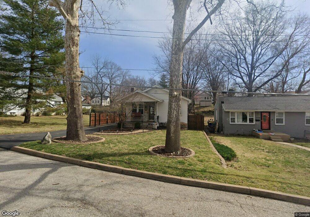
2110 Wolter Ave Saint Louis, MO 63114
Estimated Value: $89,000 - $128,930
2
Beds
2
Baths
884
Sq Ft
$121/Sq Ft
Est. Value
About This Home
This home is located at 2110 Wolter Ave, Saint Louis, MO 63114 and is currently estimated at $106,983, approximately $121 per square foot. 2110 Wolter Ave is a home located in St. Louis County with nearby schools including Normandy High School, The Freedom School, and Incarnate Word Academy.
Ownership History
Date
Name
Owned For
Owner Type
Purchase Details
Closed on
Nov 19, 2010
Sold by
Mcdaniel Catherine
Bought by
Allen Cedric K and Allen Kimberly L
Current Estimated Value
Purchase Details
Closed on
Jul 25, 2002
Sold by
Spiller Edward and Spiller Sheila
Bought by
Mcdaniel Catherine
Home Financials for this Owner
Home Financials are based on the most recent Mortgage that was taken out on this home.
Original Mortgage
$55,200
Interest Rate
8.9%
Create a Home Valuation Report for This Property
The Home Valuation Report is an in-depth analysis detailing your home's value as well as a comparison with similar homes in the area
Home Values in the Area
Average Home Value in this Area
Purchase History
| Date | Buyer | Sale Price | Title Company |
|---|---|---|---|
| Allen Cedric K | $25,000 | Ust | |
| Mcdaniel Catherine | $55,497 | -- |
Source: Public Records
Mortgage History
| Date | Status | Borrower | Loan Amount |
|---|---|---|---|
| Previous Owner | Mcdaniel Catherine | $55,200 | |
| Closed | Mcdaniel Catherine | $9,750 |
Source: Public Records
Tax History Compared to Growth
Tax History
| Year | Tax Paid | Tax Assessment Tax Assessment Total Assessment is a certain percentage of the fair market value that is determined by local assessors to be the total taxable value of land and additions on the property. | Land | Improvement |
|---|---|---|---|---|
| 2025 | $2,155 | $23,030 | $3,550 | $19,480 |
| 2024 | $2,155 | $23,220 | $1,580 | $21,640 |
| 2023 | $2,254 | $23,220 | $1,580 | $21,640 |
| 2022 | $1,526 | $13,220 | $3,150 | $10,070 |
| 2021 | $1,464 | $13,220 | $3,150 | $10,070 |
| 2020 | $1,525 | $12,730 | $1,980 | $10,750 |
| 2019 | $1,490 | $12,730 | $1,980 | $10,750 |
| 2018 | $1,139 | $8,980 | $1,250 | $7,730 |
| 2017 | $1,149 | $8,980 | $1,250 | $7,730 |
| 2016 | $1,145 | $8,600 | $1,250 | $7,350 |
| 2015 | $1,129 | $8,600 | $1,250 | $7,350 |
| 2014 | $996 | $7,540 | $1,350 | $6,190 |
Source: Public Records
Map
Nearby Homes
- 8341 Jefferson Ave
- 8315 Jefferson Ave
- 8338 Jefferson Ave
- 8314 Buchanan Ave
- 8122 Shellbark Ave
- 8307 Garfield Ave
- 8233 Albin Ave
- 8431 Midland Blvd
- 8303 Jackson St
- 8425 Ann Ave
- 1988 Driftway Dr
- 2435 Ackerman Ave
- 2414 Gilrose Ave
- 8138 Underhill Dr
- 8476 Lackland Rd
- 8209 Saint Charles Ln
- 8008 Monroe Ave
- 8227 Page Ave
- 8133 Toddy Ave
- 7507 Liberty Ave
- 2108 Wolter Ave
- 2114 Wolter Ave
- 2147 Penfield Ave
- 8335 Eads Ave
- 2141 Penfield Ave
- 2116 Wolter Ave
- 8329 Eads Ave
- 2149 Penfield Ave
- 8327 Eads Ave
- 2122 Wolter Ave
- 2153 Penfield Ave
- 2101 Penfield Ave
- 2113 Wolter Ave
- 2109 Wolter Ave
- 2157 Penfield Ave
- 2115 Wolter Ave
- 2107 Wolter Ave
- 2119 Wolter Ave
- 2105 Wolter Ave
- 2121 Wolter Ave