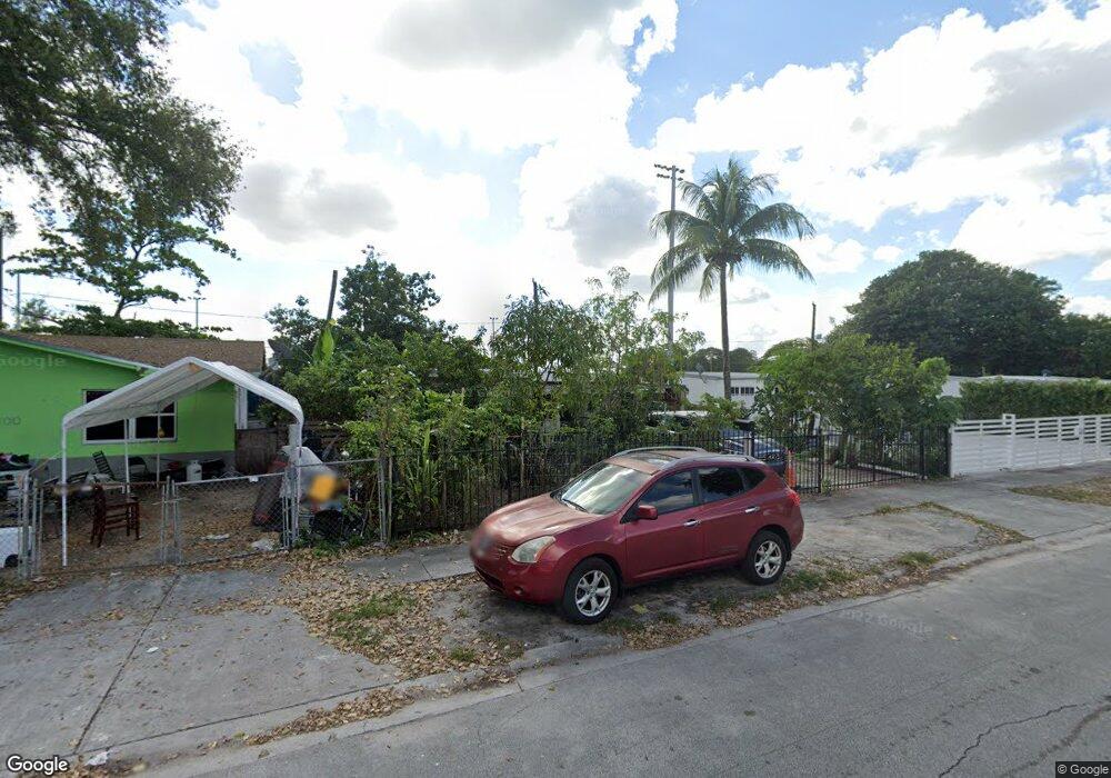
2110 York St Opa Locka, FL 33054
Estimated Value: $389,521 - $434,000
3
Beds
1
Bath
1,248
Sq Ft
$325/Sq Ft
Est. Value
About This Home
This home is located at 2110 York St, Opa Locka, FL 33054 and is currently estimated at $405,630, approximately $325 per square foot. 2110 York St is a home located in Miami-Dade County with nearby schools including Nathan B. Young Elementary School, North Dade Middle School, and Hialeah-Miami Lakes Senior High School.
Ownership History
Date
Name
Owned For
Owner Type
Purchase Details
Closed on
Jan 8, 2008
Sold by
Maria Natividad and Beriguete Rafael
Bought by
Maria Natividad and Beriguete Rafael
Current Estimated Value
Purchase Details
Closed on
Aug 23, 1999
Sold by
Elias Gross Tr
Bought by
Maria Natividad
Home Financials for this Owner
Home Financials are based on the most recent Mortgage that was taken out on this home.
Original Mortgage
$29,500
Interest Rate
7.65%
Purchase Details
Closed on
Apr 9, 1999
Sold by
County Of Dade
Bought by
Gross Elias
Create a Home Valuation Report for This Property
The Home Valuation Report is an in-depth analysis detailing your home's value as well as a comparison with similar homes in the area
Home Values in the Area
Average Home Value in this Area
Purchase History
| Date | Buyer | Sale Price | Title Company |
|---|---|---|---|
| Maria Natividad | -- | Land Star Title Inc | |
| Maria Natividad | $30,000 | -- | |
| Gross Elias | $15,400 | -- |
Source: Public Records
Mortgage History
| Date | Status | Borrower | Loan Amount |
|---|---|---|---|
| Open | Gross Elias | $45,000 | |
| Closed | Gross Elias | $29,500 |
Source: Public Records
Tax History
| Year | Tax Paid | Tax Assessment Tax Assessment Total Assessment is a certain percentage of the fair market value that is determined by local assessors to be the total taxable value of land and additions on the property. | Land | Improvement |
|---|---|---|---|---|
| 2025 | $4,574 | $60,931 | -- | -- |
| 2024 | $4,420 | $59,214 | -- | -- |
| 2023 | $4,420 | $57,490 | $0 | $0 |
| 2022 | $4,360 | $55,816 | $0 | $0 |
| 2021 | $1,231 | $54,191 | $0 | $0 |
| 2020 | $1,159 | $53,443 | $0 | $0 |
| 2019 | $1,151 | $52,242 | $0 | $0 |
| 2018 | $1,113 | $51,268 | $0 | $0 |
| 2017 | $839 | $39,779 | $0 | $0 |
| 2016 | $970 | $38,961 | $0 | $0 |
| 2015 | $919 | $38,691 | $0 | $0 |
| 2014 | $880 | $38,384 | $0 | $0 |
Source: Public Records
Map
Nearby Homes
- 2111 York St
- 2180 Rutland St
- 2121 Rutland St
- 2021 Wilmington St
- 14585 NW 22nd Ave
- 14240 NW 22nd Ave Unit 3
- 2061 Rutland St
- 14180 NW 22nd Ave Unit 4
- 2001 Rutland St
- 1980 Service Rd
- 1920 Rutland St
- 14135 NW 22nd Place
- 1951 Rutland St
- 2330 Rutland St
- 1783 NW 142nd Ln
- 1897 Rutland St
- 2360 Rutland St
- 1940 Ali Baba Ave
- 2061 Washington Ave Unit 4
- 1950 Ali Baba Ave
Your Personal Tour Guide
Ask me questions while you tour the home.