2110 Yorktown S Norristown, PA 19403
West Norriton Township NeighborhoodEstimated Value: $295,000 - $444,000
3
Beds
3
Baths
1,480
Sq Ft
$261/Sq Ft
Est. Value
About This Home
This home is located at 2110 Yorktown S, Norristown, PA 19403 and is currently estimated at $386,690, approximately $261 per square foot. 2110 Yorktown S is a home located in Montgomery County with nearby schools including Charles Blockson Middle School, Paul V Fly Elementary School, and East Norriton Middle School.
Ownership History
Date
Name
Owned For
Owner Type
Purchase Details
Closed on
Apr 28, 2025
Sold by
Hebeja Gerta and Popdan Raymond
Bought by
Eastmure Alice
Current Estimated Value
Home Financials for this Owner
Home Financials are based on the most recent Mortgage that was taken out on this home.
Original Mortgage
$332,000
Outstanding Balance
$330,829
Interest Rate
6.67%
Mortgage Type
New Conventional
Estimated Equity
$55,861
Purchase Details
Closed on
Jan 13, 2021
Sold by
Lewicki David R
Bought by
Popdan Raymond and Hebeja Gerta
Home Financials for this Owner
Home Financials are based on the most recent Mortgage that was taken out on this home.
Original Mortgage
$201,286
Interest Rate
2.6%
Mortgage Type
FHA
Purchase Details
Closed on
Jul 31, 1986
Bought by
Lewicki David R
Create a Home Valuation Report for This Property
The Home Valuation Report is an in-depth analysis detailing your home's value as well as a comparison with similar homes in the area
Home Values in the Area
Average Home Value in this Area
Purchase History
| Date | Buyer | Sale Price | Title Company |
|---|---|---|---|
| Eastmure Alice | $432,500 | Associates Land Transfer Compa | |
| Eastmure Alice | $432,500 | Associates Land Transfer Compa | |
| Popdan Raymond | $205,000 | None Available | |
| Lewicki David R | $92,900 | -- |
Source: Public Records
Mortgage History
| Date | Status | Borrower | Loan Amount |
|---|---|---|---|
| Open | Eastmure Alice | $332,000 | |
| Closed | Eastmure Alice | $332,000 | |
| Previous Owner | Popdan Raymond | $201,286 |
Source: Public Records
Tax History Compared to Growth
Tax History
| Year | Tax Paid | Tax Assessment Tax Assessment Total Assessment is a certain percentage of the fair market value that is determined by local assessors to be the total taxable value of land and additions on the property. | Land | Improvement |
|---|---|---|---|---|
| 2025 | $5,670 | $116,060 | $21,880 | $94,180 |
| 2024 | $5,670 | $116,060 | $21,880 | $94,180 |
| 2023 | $5,606 | $116,060 | $21,880 | $94,180 |
| 2022 | $5,570 | $116,060 | $21,880 | $94,180 |
| 2021 | $5,536 | $116,060 | $21,880 | $94,180 |
| 2020 | $5,371 | $116,060 | $21,880 | $94,180 |
| 2019 | $5,251 | $116,060 | $21,880 | $94,180 |
| 2018 | $4,038 | $116,060 | $21,880 | $94,180 |
| 2017 | $4,957 | $116,060 | $21,880 | $94,180 |
| 2016 | $4,911 | $116,060 | $21,880 | $94,180 |
| 2015 | $4,662 | $116,060 | $21,880 | $94,180 |
| 2014 | $4,551 | $116,060 | $21,880 | $94,180 |
Source: Public Records
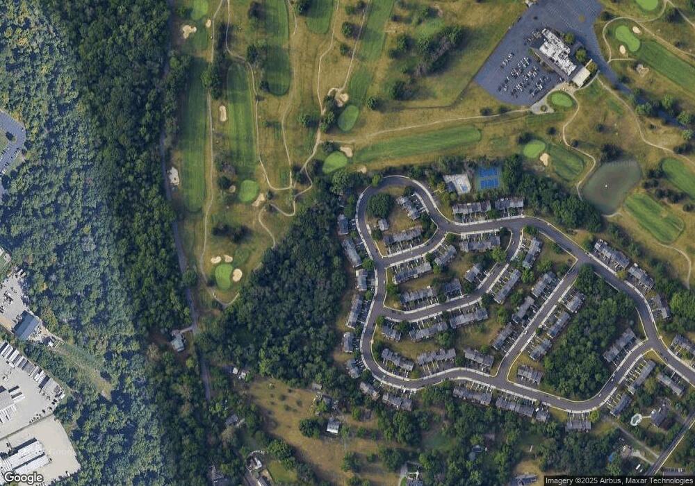
Map
Nearby Homes
- 2017 Yorktown S
- 2012 Yorktown S
- 526 Bassett Ln
- 1914 Yorktown S
- 1905 Yorktown N
- 143 Riversedge Dr Unit CONDO 143
- 176 Riversedge Dr
- 121 Woodstream Dr Unit CONDO 121
- 167 Woodstream Dr Unit CONDO 167
- 0 Roosevelt Blvd
- 365 Norris Hall Ln
- 307 Brandon Rd
- 402 Brandon Rd
- 2504 Grant Ct
- 533 Brandon Rd
- 1503 Reagan Ct
- 2044 Mill Rd
- 548 Susan Dr
- 440 Rittenhouse Blvd
- 1924 Juniata Rd
- 2108 Yorktown S
- 2112 Yorktown S
- 2112 Yorktown S
- 2106 Yorktown S
- 2104 Yorktown S
- 2114 Yorktown S
- 2114 Yorktown S
- 2102 Yorktown S
- 2116 Yorktown S
- 2116 Yorktown S
- 2100 Yorktown S
- 2118 Yorktown S
- 2118 Yorktown S
- 2074 Yorktown S
- 2072 Yorktown S
- 521 Waller Way
- 2120 Yorktown S
- 2105 Yorktown S
- 2070 Yorktown S
- 2107 Yorktown S