21100 NE 202nd Ave Battle Ground, WA 98604
Estimated Value: $593,000 - $795,000
3
Beds
3
Baths
1,542
Sq Ft
$452/Sq Ft
Est. Value
About This Home
This home is located at 21100 NE 202nd Ave, Battle Ground, WA 98604 and is currently estimated at $696,341, approximately $451 per square foot. 21100 NE 202nd Ave is a home located in Clark County with nearby schools including Tukes Valley Primary School, Tukes Valley Middle School, and Battle Ground High School.
Ownership History
Date
Name
Owned For
Owner Type
Purchase Details
Closed on
Oct 28, 2020
Sold by
Forland Dave and The Mikal Forland Trust
Bought by
Forland David and Forland Karen
Current Estimated Value
Home Financials for this Owner
Home Financials are based on the most recent Mortgage that was taken out on this home.
Original Mortgage
$303,030
Outstanding Balance
$269,413
Interest Rate
3%
Mortgage Type
New Conventional
Estimated Equity
$426,928
Purchase Details
Closed on
Sep 3, 2020
Sold by
Forland David M and Mikal K Forland Revocable Trus
Bought by
Hendrickson Brandt D and Hendrickson Kassandra M
Home Financials for this Owner
Home Financials are based on the most recent Mortgage that was taken out on this home.
Original Mortgage
$303,030
Outstanding Balance
$269,413
Interest Rate
3%
Mortgage Type
New Conventional
Estimated Equity
$426,928
Purchase Details
Closed on
Feb 28, 2017
Sold by
Forland Mikal K
Bought by
Forland Mikal K and The Mikal K Forland Revocable
Create a Home Valuation Report for This Property
The Home Valuation Report is an in-depth analysis detailing your home's value as well as a comparison with similar homes in the area
Home Values in the Area
Average Home Value in this Area
Purchase History
| Date | Buyer | Sale Price | Title Company |
|---|---|---|---|
| Forland David | -- | None Available | |
| Hendrickson Brandt D | $300,000 | Chicago Title Co | |
| Forland Mikal K | -- | None Available |
Source: Public Records
Mortgage History
| Date | Status | Borrower | Loan Amount |
|---|---|---|---|
| Open | Hendrickson Brandt D | $303,030 |
Source: Public Records
Tax History Compared to Growth
Tax History
| Year | Tax Paid | Tax Assessment Tax Assessment Total Assessment is a certain percentage of the fair market value that is determined by local assessors to be the total taxable value of land and additions on the property. | Land | Improvement |
|---|---|---|---|---|
| 2025 | $5,619 | $695,007 | $343,284 | $351,723 |
| 2024 | $4,855 | $677,975 | $343,284 | $334,691 |
| 2023 | $5,114 | $668,858 | $356,036 | $312,822 |
| 2022 | $4,656 | $644,256 | $328,867 | $315,389 |
| 2021 | $4,706 | $510,557 | $232,728 | $277,829 |
| 2020 | $4,631 | $472,530 | $249,448 | $223,082 |
| 2019 | $4,031 | $453,597 | $234,818 | $218,779 |
| 2018 | $5,570 | $453,242 | $0 | $0 |
| 2017 | $4,570 | $478,248 | $0 | $0 |
| 2016 | $4,577 | $428,134 | $0 | $0 |
| 2015 | $4,494 | $393,618 | $0 | $0 |
| 2014 | -- | $365,502 | $0 | $0 |
| 2013 | -- | $331,837 | $0 | $0 |
Source: Public Records
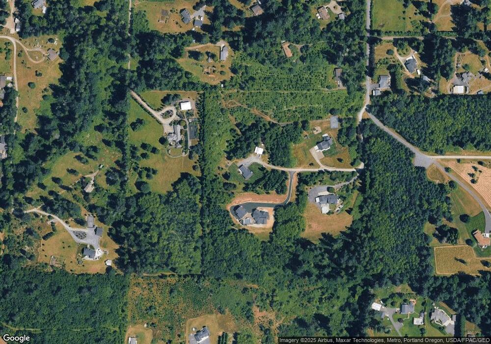
Map
Nearby Homes
- 0 NE 212th Ave
- 20205 NE 190th Ave
- 21017 NE Risto Rd
- 20015 NE 234th St
- 19119 NE 204th Ave
- 19911 NE 179th Ct
- 22314 NE 182nd Ave
- 18426 NE 191st Cir
- 18717 NE 208th Ct
- 22400 NE 216th Cir
- 22814 NE 182nd Ave
- 20502 NE 225th Ave
- 22414 NE 200th St
- 21405 NE 167th Ave
- 19815 NE Allworth Rd
- 22405 NE 167th Ave
- 20607 NE Allworth Rd
- 18511 NE 181st St
- 21821 NE Rock Creek Canyon Rd
- 17600 NE 188th Ct
- 21030 NE 202nd Ave
- 19703 NE 219th St
- 21110 NE 202nd Ave
- 19701 NE 219th St
- 21322 NE 202nd Ave
- 21300 NE 202nd Ave
- 21413 NE 199th Ct
- 21007 NE 194th Ct
- 21301 NE 202nd Ave
- 19900 NE 206th St
- 19820 NE 206th St
- 21414 NE 199th Ct
- 21005 NE 194th Ct
- 21414 NE 202nd Ave
- 20213 NE 214th St
- 21504 NE 199th Ct
- 20304 NE Risto Rd
- 21502 NE 202nd Ave
- 21509 NE 199th Ct
- 19501 NE 214th St