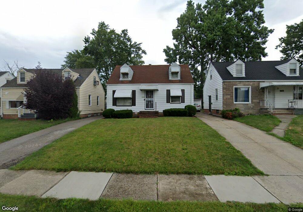
21101 Watson Rd Maple Heights, OH 44137
Estimated Value: $97,552 - $109,000
2
Beds
1
Bath
720
Sq Ft
$144/Sq Ft
Est. Value
About This Home
This home is located at 21101 Watson Rd, Maple Heights, OH 44137 and is currently estimated at $103,638, approximately $143 per square foot. 21101 Watson Rd is a home located in Cuyahoga County with nearby schools including Abraham Lincoln Elementary School, Rockside/ J.F. Kennedy School, and Barack Obama School.
Ownership History
Date
Name
Owned For
Owner Type
Purchase Details
Closed on
Jan 2, 2004
Sold by
Bengough Karen and Onizchak Stephen J
Bought by
Patrick Michelle L
Current Estimated Value
Home Financials for this Owner
Home Financials are based on the most recent Mortgage that was taken out on this home.
Original Mortgage
$73,000
Outstanding Balance
$34,565
Interest Rate
6.08%
Mortgage Type
Purchase Money Mortgage
Estimated Equity
$69,073
Purchase Details
Closed on
Nov 21, 1980
Sold by
Onizchak Stephen J and M L
Bought by
Stephen J Onizchak
Purchase Details
Closed on
Jan 1, 1975
Bought by
Onizchak Stephen J and M L
Create a Home Valuation Report for This Property
The Home Valuation Report is an in-depth analysis detailing your home's value as well as a comparison with similar homes in the area
Home Values in the Area
Average Home Value in this Area
Purchase History
| Date | Buyer | Sale Price | Title Company |
|---|---|---|---|
| Patrick Michelle L | $73,000 | Real Living Title Agency Ltd | |
| Stephen J Onizchak | -- | -- | |
| Onizchak Stephen J | -- | -- |
Source: Public Records
Mortgage History
| Date | Status | Borrower | Loan Amount |
|---|---|---|---|
| Open | Patrick Michelle L | $73,000 |
Source: Public Records
Tax History
| Year | Tax Paid | Tax Assessment Tax Assessment Total Assessment is a certain percentage of the fair market value that is determined by local assessors to be the total taxable value of land and additions on the property. | Land | Improvement |
|---|---|---|---|---|
| 2024 | $2,793 | $30,345 | $6,720 | $23,625 |
| 2023 | $1,843 | $16,350 | $4,060 | $12,290 |
| 2022 | $1,836 | $16,350 | $4,060 | $12,290 |
| 2021 | $1,951 | $16,350 | $4,060 | $12,290 |
| 2020 | $1,681 | $12,390 | $3,080 | $9,310 |
| 2019 | $1,670 | $35,400 | $8,800 | $26,600 |
| 2018 | $1,661 | $12,390 | $3,080 | $9,310 |
| 2017 | $1,603 | $11,590 | $2,870 | $8,720 |
| 2016 | $1,551 | $11,590 | $2,870 | $8,720 |
| 2015 | $1,537 | $11,590 | $2,870 | $8,720 |
| 2014 | $1,537 | $12,740 | $3,150 | $9,590 |
Source: Public Records
Map
Nearby Homes
- 20715 Watson Rd
- 20705 Hansen Rd
- 21207 Franklin Rd
- 20600 Watson Rd
- 20517 Raymond St
- 21202 Hillgrove Ave
- 21600 Franklin Rd
- 20806 Clare Ave
- 5147 Warrensville Center Rd
- 21202 Gardenview Dr
- 19931 Raymond St
- 21860 Louis Rd
- 21607 Libby Rd
- 0 Miles Rd Unit 5188561
- 19520 Maple Heights Blvd
- 5165 Camden Rd
- 19289 Stafford Ave
- 22711 Vera St
- 5194 Homewood Ave
- 18851 Raymond St
- 21105 Watson Rd
- 21017 Watson Rd
- 21109 Watson Rd
- 21013 Watson Rd
- 21113 Watson Rd
- 21016 Hansen Rd
- 21009 Watson Rd
- 21100 Hansen Rd
- 21012 Hansen Rd
- 21104 Hansen Rd
- 21008 Hansen Rd
- 21005 Watson Rd
- 21117 Watson Rd
- 21108 Hansen Rd
- 21004 Hansen Rd
- 21016 Watson Rd
- 21104 Watson Rd
- 21012 Watson Rd
- 21108 Watson Rd
- 21001 Watson Rd
Your Personal Tour Guide
Ask me questions while you tour the home.