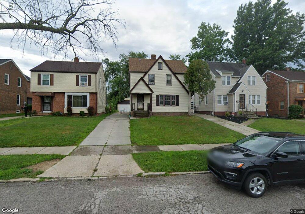
21104 Clare Ave Maple Heights, OH 44137
Estimated Value: $117,000 - $137,000
3
Beds
2
Baths
1,332
Sq Ft
$95/Sq Ft
Est. Value
About This Home
This home is located at 21104 Clare Ave, Maple Heights, OH 44137 and is currently estimated at $126,746, approximately $95 per square foot. 21104 Clare Ave is a home located in Cuyahoga County with nearby schools including Abraham Lincoln Elementary School, Rockside/ J.F. Kennedy School, and Italy High School.
Ownership History
Date
Name
Owned For
Owner Type
Purchase Details
Closed on
Oct 20, 2017
Sold by
Woods Ernestine B and Woods William Harrison
Bought by
Woods Ernestine B
Current Estimated Value
Purchase Details
Closed on
Mar 14, 1994
Sold by
Gunya Kim A
Bought by
Woods William H
Purchase Details
Closed on
Apr 2, 1991
Sold by
Gunya Ronald F and Gunya Shirley A
Bought by
Gunya Kim A
Purchase Details
Closed on
Jan 1, 1975
Bought by
Gunya Ronald F and Gunya Shirley A
Create a Home Valuation Report for This Property
The Home Valuation Report is an in-depth analysis detailing your home's value as well as a comparison with similar homes in the area
Home Values in the Area
Average Home Value in this Area
Purchase History
| Date | Buyer | Sale Price | Title Company |
|---|---|---|---|
| Woods Ernestine B | -- | None Available | |
| Woods William H | $66,500 | -- | |
| Gunya Kim A | -- | -- | |
| Gunya Ronald F | -- | -- |
Source: Public Records
Tax History Compared to Growth
Tax History
| Year | Tax Paid | Tax Assessment Tax Assessment Total Assessment is a certain percentage of the fair market value that is determined by local assessors to be the total taxable value of land and additions on the property. | Land | Improvement |
|---|---|---|---|---|
| 2024 | $2,863 | $30,450 | $6,720 | $23,730 |
| 2023 | $2,839 | $26,710 | $4,060 | $22,650 |
| 2022 | $2,829 | $26,710 | $4,060 | $22,650 |
| 2021 | $3,023 | $26,710 | $4,060 | $22,650 |
| 2020 | $2,569 | $20,230 | $3,080 | $17,150 |
| 2019 | $2,559 | $57,800 | $8,800 | $49,000 |
| 2018 | $1,830 | $20,230 | $3,080 | $17,150 |
| 2017 | $1,323 | $18,800 | $2,870 | $15,930 |
| 2016 | $1,276 | $18,800 | $2,870 | $15,930 |
| 2015 | $1,364 | $18,800 | $2,870 | $15,930 |
| 2014 | $1,364 | $20,650 | $3,150 | $17,500 |
Source: Public Records
Map
Nearby Homes
- 20814 Kenyon Dr
- 21207 Franklin Rd
- 21102 Raymond St
- 20701 Kenyon Dr
- 21416 Gardenview Dr
- 20814 Watson Rd
- 20510 Mountville Dr
- 20907 Watson Rd
- 20715 Watson Rd
- 20813 Hansen Rd
- 20107 Libby Rd
- 19807 Gardenview Dr
- 19806 Mountville Dr
- 19812 Stockton Ave
- 20120 Mccracken Rd
- 20750 Bowling Green Rd
- 5285 Mardale Ave
- 20732 Applegate Rd
- 5301 Mardale Ave
- 20625 Centuryway Rd
- 21110 Clare Ave
- 21100 Clare Ave
- 21018 Clare Ave
- 21114 Clare Ave
- 21107 Kenyon Dr
- 21014 Clare Ave
- 21111 Kenyon Dr
- 21101 Kenyon Dr
- 21019 Kenyon Dr
- 21115 Kenyon Dr
- 21010 Clare Ave
- 21015 Kenyon Dr
- 21105 Clare Ave
- 21202 Clare Ave
- 21109 Clare Ave
- 21101 Clare Ave
- 21017 Clare Ave
- 21113 Clare Ave
- 21006 Clare Ave
- 21011 Kenyon Dr