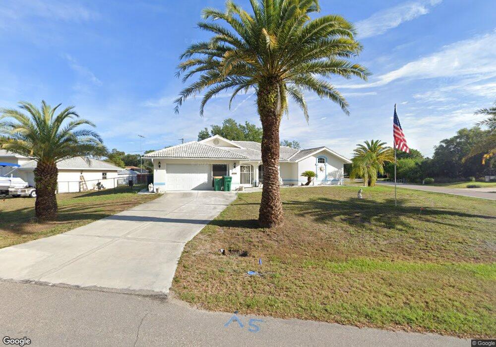
21104 Delake Ave Port Charlotte, FL 33954
Estimated Value: $350,000 - $419,000
3
Beds
2
Baths
2,217
Sq Ft
$171/Sq Ft
Est. Value
About This Home
This home is located at 21104 Delake Ave, Port Charlotte, FL 33954 and is currently estimated at $379,452, approximately $171 per square foot. 21104 Delake Ave is a home located in Charlotte County with nearby schools including Liberty Elementary School, Murdock Middle School, and Port Charlotte High School.
Ownership History
Date
Name
Owned For
Owner Type
Purchase Details
Closed on
Jan 27, 2022
Sold by
Oconnor Norma J
Bought by
Oconnor Norma J and Oconnor Amber
Current Estimated Value
Purchase Details
Closed on
Feb 7, 2005
Sold by
Hudson George and Hudson Rebecca
Bought by
Oconnor Eugene F and Oconnor Norma J
Home Financials for this Owner
Home Financials are based on the most recent Mortgage that was taken out on this home.
Original Mortgage
$178,400
Interest Rate
5.72%
Mortgage Type
Purchase Money Mortgage
Create a Home Valuation Report for This Property
The Home Valuation Report is an in-depth analysis detailing your home's value as well as a comparison with similar homes in the area
Home Values in the Area
Average Home Value in this Area
Purchase History
| Date | Buyer | Sale Price | Title Company |
|---|---|---|---|
| Oconnor Norma J | -- | None Listed On Document | |
| Oconnor Eugene F | $223,000 | Executive Title Ins Svcs Inc |
Source: Public Records
Mortgage History
| Date | Status | Borrower | Loan Amount |
|---|---|---|---|
| Previous Owner | Oconnor Eugene F | $178,400 |
Source: Public Records
Tax History Compared to Growth
Tax History
| Year | Tax Paid | Tax Assessment Tax Assessment Total Assessment is a certain percentage of the fair market value that is determined by local assessors to be the total taxable value of land and additions on the property. | Land | Improvement |
|---|---|---|---|---|
| 2023 | $3,474 | $186,253 | $0 | $0 |
| 2022 | $3,332 | $180,828 | $0 | $0 |
| 2021 | $3,327 | $175,561 | $0 | $0 |
| 2020 | $3,251 | $173,137 | $0 | $0 |
| 2019 | $3,145 | $169,244 | $0 | $0 |
| 2018 | $2,924 | $166,088 | $0 | $0 |
| 2017 | $2,892 | $162,672 | $0 | $0 |
| 2016 | $2,835 | $157,153 | $0 | $0 |
| 2015 | $2,832 | $156,061 | $0 | $0 |
| 2014 | $2,783 | $154,822 | $0 | $0 |
Source: Public Records
Map
Nearby Homes
- 448 Yorkshire St
- 21053 Baffin Ave
- 21047 Baffin Ave
- 21054 Baffin Ave
- 399 Kensington St
- 21086 Peachland Blvd
- 429 Dorchester St
- 485 Dorchester St
- 474 Hinton St
- 1058 Congress St
- 283 Vilna St
- 1053 Yarmouth St
- 20424 Calder Ave
- 256 Yorkshire St
- 21229 Peachland Blvd
- 21220 Pemberton Ave
- 247 Ambler St
- 20415 Wilkie Ave
- 284 Hinton St
- 20439 Peachland Blvd
- 21086 Delake Ave
- 21093 Riddle Ave
- 21085 Riddle Ave
- 440 Yorkshire St
- 21078 Delake Ave
- 432 Yorkshire St
- 424 Yorkshire St
- 21077 Riddle Ave
- 21094 Riddle Ave
- 21077 Delake Ave
- 456 Yorkshire St
- 21070 Delake Ave
- 416 Yorkshire St
- 471 Yorkshire St
- 21104 Riddle Ave
- 21094 Nowell Ave
- 21069 Riddle Ave
- 21086 Riddle Ave
- 21086 Nowell Ave
- 464 Yorkshire St