21104 Tanyard Rd Preston, MD 21655
Estimated Value: $330,000 - $2,095,000
3
Beds
2
Baths
2,240
Sq Ft
$504/Sq Ft
Est. Value
About This Home
This home is located at 21104 Tanyard Rd, Preston, MD 21655 and is currently estimated at $1,128,948, approximately $503 per square foot. 21104 Tanyard Rd is a home located in Caroline County with nearby schools including Preston Elementary School, Colonel Richardson Middle School, and Colonel Richardson High School.
Ownership History
Date
Name
Owned For
Owner Type
Purchase Details
Closed on
Feb 28, 2013
Sold by
Engle Robert Lee and Engle Diana Lee
Bought by
Dennis Aaron W
Current Estimated Value
Home Financials for this Owner
Home Financials are based on the most recent Mortgage that was taken out on this home.
Original Mortgage
$350,000
Outstanding Balance
$246,986
Interest Rate
3.54%
Mortgage Type
Unknown
Estimated Equity
$881,962
Create a Home Valuation Report for This Property
The Home Valuation Report is an in-depth analysis detailing your home's value as well as a comparison with similar homes in the area
Home Values in the Area
Average Home Value in this Area
Purchase History
| Date | Buyer | Sale Price | Title Company |
|---|---|---|---|
| Dennis Aaron W | $1,000,000 | Eastern Shore Title Company |
Source: Public Records
Mortgage History
| Date | Status | Borrower | Loan Amount |
|---|---|---|---|
| Open | Dennis Aaron W | $350,000 | |
| Open | Dennis Aaron W | $680,000 |
Source: Public Records
Tax History Compared to Growth
Tax History
| Year | Tax Paid | Tax Assessment Tax Assessment Total Assessment is a certain percentage of the fair market value that is determined by local assessors to be the total taxable value of land and additions on the property. | Land | Improvement |
|---|---|---|---|---|
| 2025 | $6,073 | $581,833 | $0 | $0 |
| 2024 | $6,073 | $550,667 | $0 | $0 |
| 2023 | $5,733 | $519,500 | $293,300 | $226,200 |
| 2022 | $5,713 | $517,700 | $0 | $0 |
| 2021 | $11,387 | $515,900 | $0 | $0 |
| 2020 | $887 | $514,100 | $293,300 | $220,800 |
| 2019 | $5,640 | $511,000 | $0 | $0 |
| 2018 | $5,606 | $507,900 | $0 | $0 |
| 2017 | $5,572 | $504,800 | $0 | $0 |
| 2016 | -- | $504,800 | $0 | $0 |
| 2015 | $4,993 | $504,900 | $0 | $0 |
| 2014 | $4,993 | $532,200 | $0 | $0 |
Source: Public Records
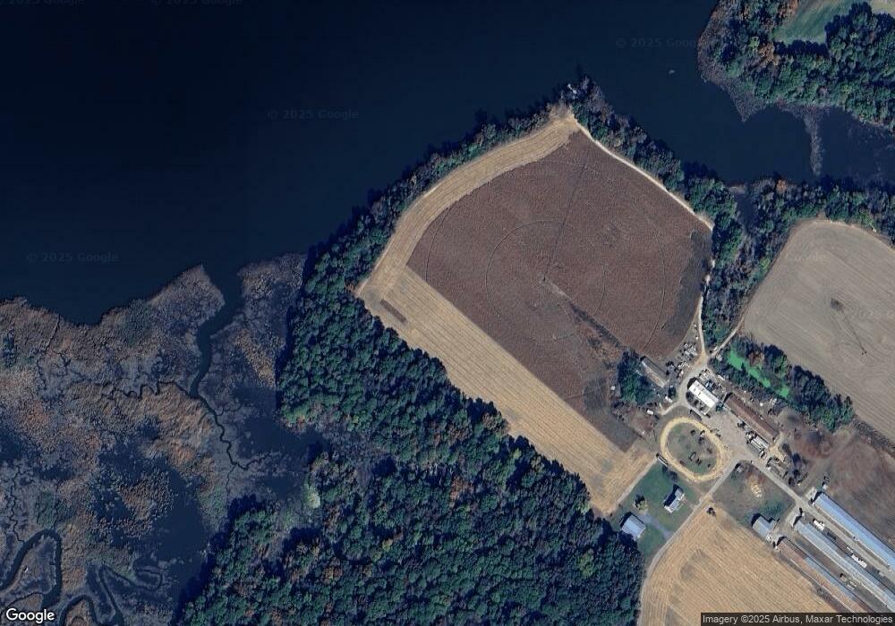
Map
Nearby Homes
- 0 Dover Bridge Rd Unit MDCM2005586
- 21245 Tanyard Rd
- 21090 Marsh Creek Rd
- 21084 Marsh Creek Rd
- 21682 Dover Bridge Rd
- Parcel 210 Dover Bridge Rd
- 4631 Everlea Ct
- 22109 Tanyard Rd
- 6074 Newton Rd
- 22408 Hog Creek Rd
- lot 6 Harmony Woods Dr
- 22490 Ash Blvd
- 22403 Marsh Creek Rd
- 7371 Michael Ave
- 29865 Hillary Ave
- 7400 Michael Ave
- LOT #6 High Banks Dr
- 0 High Banks Dr
- 29830 Hillary Ave
- 29770 Lyons Dr
- 21135 Tanyard Rd
- 21115 Tanyard Rd
- 21100 Tanyard Rd
- 21196 Tanyard Rd
- 21286 Tanyard Rd
- 21203 Tanyard Rd
- 21200 Tanyard Rd
- 21095 Tanyard Rd
- 21211 Tanyard Rd
- 21091 Tanyard Rd
- 21084 Tanyard Rd
- 21235 Tanyard Rd
- 21110 Tanyard Rd
- 0 Dover Bridge Rd Unit 1007196136
- 0 Dover Bridge Rd Unit MDCM2003102
- 0 Dover Bridge Rd Unit MDCM2002482
- 0 Dover Bridge Rd Unit MDCM2001294
- 0 Dover Bridge Rd Unit MDCM123500
- 0 Dover Bridge Rd Unit 1001566562