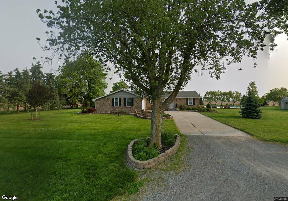
21109 Sterling Rd Delphos, OH 45833
Estimated Value: $204,000 - $256,000
3
Beds
2
Baths
1,400
Sq Ft
$170/Sq Ft
Est. Value
About This Home
This home is located at 21109 Sterling Rd, Delphos, OH 45833 and is currently estimated at $237,992, approximately $169 per square foot. 21109 Sterling Rd is a home located in Van Wert County with nearby schools including Lincolnview Elementary School and Lincolnview Junior/Senior High School.
Ownership History
Date
Name
Owned For
Owner Type
Purchase Details
Closed on
Jul 12, 2018
Sold by
Clayborn Sandra K and Clayborn George David
Bought by
Clayborn George David and Clayborn Sandra K
Current Estimated Value
Create a Home Valuation Report for This Property
The Home Valuation Report is an in-depth analysis detailing your home's value as well as a comparison with similar homes in the area
Home Values in the Area
Average Home Value in this Area
Purchase History
| Date | Buyer | Sale Price | Title Company |
|---|---|---|---|
| Clayborn George David | -- | None Available |
Source: Public Records
Tax History Compared to Growth
Tax History
| Year | Tax Paid | Tax Assessment Tax Assessment Total Assessment is a certain percentage of the fair market value that is determined by local assessors to be the total taxable value of land and additions on the property. | Land | Improvement |
|---|---|---|---|---|
| 2024 | $1,932 | $61,470 | $8,880 | $52,590 |
| 2023 | $1,932 | $61,470 | $8,880 | $52,590 |
| 2022 | $2,066 | $48,290 | $6,910 | $41,380 |
| 2021 | $2,040 | $48,290 | $6,910 | $41,380 |
| 2020 | $2,033 | $48,290 | $6,910 | $41,380 |
| 2019 | $1,732 | $44,320 | $6,060 | $38,260 |
| 2018 | $1,712 | $44,320 | $6,060 | $38,260 |
| 2017 | $1,691 | $44,320 | $6,060 | $38,260 |
| 2016 | $1,498 | $44,140 | $5,880 | $38,260 |
| 2015 | $1,475 | $44,140 | $5,880 | $38,260 |
| 2014 | $1,427 | $41,160 | $5,880 | $35,280 |
| 2013 | $1,714 | $41,160 | $5,880 | $35,280 |
Source: Public Records
Map
Nearby Homes
- 26267 Road R
- 8951 Brickner Rd
- 104 W Railroad St
- 112 W Railroad St
- 104 W South St
- TBD Dog Creek Rd
- 130 N East Canal St
- 0 Heritage Cir Unit 6112034
- 0 Heritage Cir Unit 303239
- 17089 Feasby Wisener Rd
- 604 W 6th St
- 332 W 6th St
- 709 W 4th St
- 409 N Bredeick St
- 11630 Clearview Dr
- 810 N Franklin St
- 610 N Washington St
- 704 N Franklin St
- 1303 Carolyn Dr
- 1220 Rose Anna Dr
- 6408 Converse Roselm Rd
- 6615 Converse Roselm Rd
- 21452 Sterling Rd
- 6813 Converse Roselm Rd
- 21619 Sterling Rd
- 21405 Convoy Rd
- 21483 Church Rd
- - Church
- 20716 Church Rd
- 20578 Convoy Rd
- 20645 Convoy Rd
- 20638 Church Rd
- 5731 Converse Roselm Rd
- 21892 Sterling Rd
- 20530 Church Rd
- 5765 Adams Rd
- 5626 Converse Roselm Rd
- 0 Bockey Rd
- 20443 Convoy Rd
- 4730 Rd