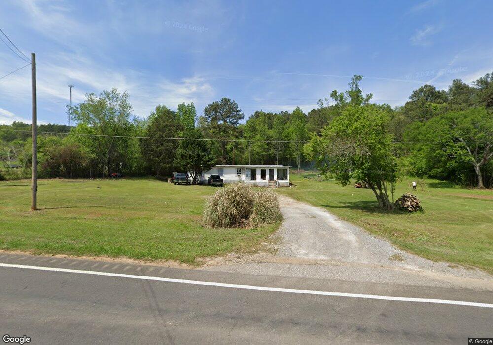
21109 Us Highway 11 Steele, AL 35987
Estimated Value: $52,584 - $80,000
--
Bed
--
Bath
2,034
Sq Ft
$33/Sq Ft
Est. Value
About This Home
This home is located at 21109 Us Highway 11, Steele, AL 35987 and is currently estimated at $66,292, approximately $32 per square foot. 21109 Us Highway 11 is a home located in St. Clair County with nearby schools including Steele Elementary School and Ashville High School.
Ownership History
Date
Name
Owned For
Owner Type
Purchase Details
Closed on
Aug 16, 2025
Sold by
Flores Rafael
Bought by
Flores Jesus
Current Estimated Value
Purchase Details
Closed on
Feb 17, 2023
Sold by
Mize Floda Jane
Bought by
Flores Rafael
Purchase Details
Closed on
Mar 15, 2022
Sold by
Vigee Belita Annette
Bought by
Mize Floda Jane
Purchase Details
Closed on
Jul 30, 2018
Sold by
Vigee Annette B and Nelson Belinda Lee
Bought by
Vigee Annette B and Nelson Belinda Lee
Purchase Details
Closed on
Jul 31, 2009
Sold by
Dye Johnny W and Vigee Annette B
Bought by
Dye Wyonna Annette
Create a Home Valuation Report for This Property
The Home Valuation Report is an in-depth analysis detailing your home's value as well as a comparison with similar homes in the area
Home Values in the Area
Average Home Value in this Area
Purchase History
| Date | Buyer | Sale Price | Title Company |
|---|---|---|---|
| Flores Jesus | $32,000 | None Listed On Document | |
| Flores Jesus | $32,000 | None Listed On Document | |
| Flores Rafael | $50,000 | -- | |
| Mize Floda Jane | $15,666 | -- | |
| Mize Floda Jane | -- | -- | |
| Vigee Annette B | $37,590 | None Available | |
| Dye Wyonna Annette | -- | None Available |
Source: Public Records
Tax History Compared to Growth
Tax History
| Year | Tax Paid | Tax Assessment Tax Assessment Total Assessment is a certain percentage of the fair market value that is determined by local assessors to be the total taxable value of land and additions on the property. | Land | Improvement |
|---|---|---|---|---|
| 2024 | $228 | $6,340 | $6,340 | $0 |
| 2023 | $228 | $6,340 | $6,340 | $0 |
| 2022 | $184 | $10,220 | $6,100 | $4,120 |
| 2021 | $168 | $10,210 | $6,090 | $4,120 |
| 2020 | $168 | $9,314 | $6,088 | $3,226 |
| 2019 | $177 | $9,802 | $6,088 | $3,714 |
| 2018 | -- | $3,780 | $0 | $0 |
| 2017 | -- | $3,780 | $0 | $0 |
| 2016 | -- | $3,780 | $0 | $0 |
| 2015 | -- | $3,660 | $0 | $0 |
| 2014 | -- | $3,760 | $0 | $0 |
Source: Public Records
Map
Nearby Homes
- 0 Legion Dr Unit 5,6,25,26 893391
- 0 Legion Dr Unit 19987726
- 0 Highway 11 Unit 15+/- AC 21427361
- 15 Dorough St
- 1712 Beason Cove Rd
- 430 Evelyn Dr
- 0 Sweatt Rd Unit Tract C - 29+/- Acre
- 0 Sweatt Rd Unit 21398227
- 0 Us Hwy 231 Unit 21398012
- 260 Canoe Dr
- 145 Cross Creek Ln
- 32728 U S 411
- 499 5th St
- 435 5th St
- 4280 Shore Dr Unit 88 89
- 12215 Alabama 23
- 56 9th Ave
- 424 7th Ave
- 51 Taft Rd
- 0 Sumatanga Rd
- 21173 Us Highway 11
- 21173 Highway 11
- 21173 Hwy 11
- 20925 Us Highway 11
- 53 Dakota Ln
- 21212 Main St
- 153 Buddy Trail
- 21221 Us Highway 11
- 21212 Us Highway 11
- 111 Legion Dr
- 0 Legion Dr Unit lot 7 735424
- 0 Legion Dr Unit 386863
- 0 Legion Dr Unit 470742
- 0 Legion Dr Unit 23 1272501
- 0 Legion Dr Unit 7 1272499
- 0 Legion Dr Unit 1151266
- 0 Dakota Ln Unit 515546
- 0 Dakota Ln Unit 534497
- 237 Dakota Ln
- 117 Dakota Ln