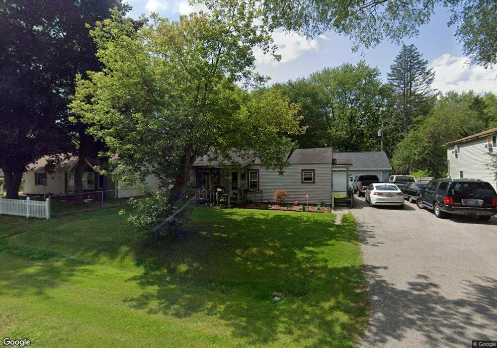
2111 Allen Rd Kimball, MI 48074
Estimated Value: $144,000 - $151,050
3
Beds
1
Bath
1,038
Sq Ft
$144/Sq Ft
Est. Value
About This Home
This home is located at 2111 Allen Rd, Kimball, MI 48074 and is currently estimated at $149,013, approximately $143 per square foot. 2111 Allen Rd is a home located in St. Clair County with nearby schools including Kimball Elementary School, Central Middle School, and Port Huron High School.
Create a Home Valuation Report for This Property
The Home Valuation Report is an in-depth analysis detailing your home's value as well as a comparison with similar homes in the area
Home Values in the Area
Average Home Value in this Area
Tax History
| Year | Tax Paid | Tax Assessment Tax Assessment Total Assessment is a certain percentage of the fair market value that is determined by local assessors to be the total taxable value of land and additions on the property. | Land | Improvement |
|---|---|---|---|---|
| 2025 | $538 | $59,800 | $0 | $0 |
| 2024 | $522 | $57,200 | $0 | $0 |
| 2023 | $478 | $54,500 | $0 | $0 |
| 2022 | $917 | $49,200 | $0 | $0 |
| 2020 | $838 | $43,800 | $43,800 | $0 |
| 2019 | $827 | $37,400 | $0 | $0 |
| 2018 | $812 | $28,900 | $0 | $0 |
| 2017 | $620 | $28,900 | $0 | $0 |
| 2016 | $290 | $28,900 | $0 | $0 |
| 2015 | -- | $27,400 | $27,400 | $0 |
| 2014 | -- | $20,400 | $20,400 | $0 |
| 2013 | -- | $31,900 | $0 | $0 |
Source: Public Records
Map
Nearby Homes
- 00 Howard Rd
- 0 Allen Rd Unit 20250008597
- 0 Allen Rd Unit 20250008612
- 1786 Omar Rd
- V/L Allen
- 1604 Allen Rd
- 0000 Range Rd
- 0 Lapeer Rd Unit 50137357
- 0 Wadhams Rd Unit 50155021
- 1906 Morningstar Ave
- 1948 Meadowlark Ln
- 1405 Range Rd
- 00 Range Rd
- 0 Wall Rd Unit 50185999
- 4911 Castlewood Dr
- 4380 Lapeer Rd
- 2007 Edward Ln E
- 2047 Edward Ln E
- 2758 E Lake Dr
- 5602 Lapeer Rd
Your Personal Tour Guide
Ask me questions while you tour the home.