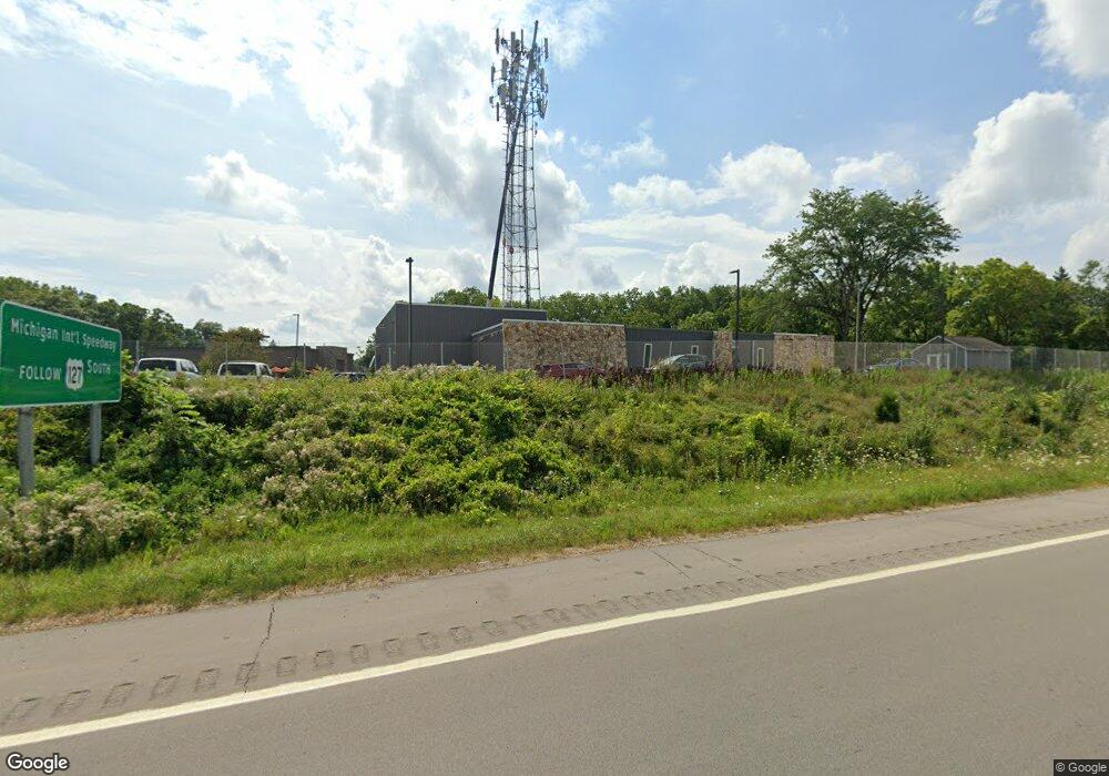
2111 Bondsteel Dr Unit Part of Building Jackson, MI 49202
--
Bed
1
Bath
1,000
Sq Ft
1.54
Acres
About This Home
This home is located at 2111 Bondsteel Dr Unit Part of Building, Jackson, MI 49202. 2111 Bondsteel Dr Unit Part of Building is a home located in Jackson County with nearby schools including Northwest Early Elementary School, Northwest Elementary School, and Northwest Middle School.
Ownership History
Date
Name
Owned For
Owner Type
Purchase Details
Closed on
May 21, 2019
Sold by
Horizontal Real Estate Llc
Bought by
Huff Motors Llc
Purchase Details
Closed on
May 15, 1998
Bought by
Horizontal Real Estate Llc
Purchase Details
Closed on
Jun 5, 1996
Bought by
Kenar Trust & S Cedar Dist Inc
Purchase Details
Closed on
Jun 4, 1996
Bought by
Kenar Trust
Create a Home Valuation Report for This Property
The Home Valuation Report is an in-depth analysis detailing your home's value as well as a comparison with similar homes in the area
Home Values in the Area
Average Home Value in this Area
Purchase History
| Date | Buyer | Sale Price | Title Company |
|---|---|---|---|
| Huff Motors Llc | $595,000 | None Available | |
| Horizontal Real Estate Llc | -- | -- | |
| Kenar Trust & S Cedar Dist Inc | -- | -- | |
| Kenar Trust | $150,000 | -- |
Source: Public Records
Tax History Compared to Growth
Tax History
| Year | Tax Paid | Tax Assessment Tax Assessment Total Assessment is a certain percentage of the fair market value that is determined by local assessors to be the total taxable value of land and additions on the property. | Land | Improvement |
|---|---|---|---|---|
| 2025 | $83 | $0 | $0 | $0 |
| 2024 | $5,925 | $0 | $0 | $0 |
| 2023 | $5,925 | $354,400 | $0 | $0 |
| 2022 | $19,197 | $370,400 | $0 | $0 |
| 2021 | $18,766 | $350,000 | $0 | $0 |
| 2020 | $19,767 | $367,600 | $0 | $0 |
| 2019 | $15,419 | $362,200 | $0 | $0 |
| 2018 | $14,444 | $290,900 | $0 | $0 |
| 2017 | $11,407 | $230,100 | $0 | $0 |
| 2016 | $8,965 | $226,384 | $226,384 | $0 |
| 2015 | $8,754 | $175,158 | $175,158 | $0 |
| 2014 | $8,754 | $189,556 | $0 | $0 |
| 2013 | -- | $189,556 | $189,556 | $0 |
Source: Public Records
Map
Nearby Homes
- 2410 Shirley Dr
- 0 Shirley Dr Unit 24064060
- 737 Royal Dr
- 582 Shirley Dr
- 3840 Jarrow St
- 550 Royal Dr
- 1225 Longfellow Ave
- 951 W Monroe St St
- 3291 Greystone St
- 1149 Maynard Ave
- 3335 Clinton Way
- 3884 Shoreham St
- 3432 Loretta Dr
- 1105 Clinton Rd
- VL 40 Clinton Way
- VL 29 Clinton Way
- VL 69 Clinton Way
- 923 Wayne St
- 431 Madison St
- 1341 Joseph St
- 2111 Bondsteel Dr Unit Part
- 2111 Bondsteel Dr
- 2115 Holiday Inn Dr
- 1312 Pops Ct
- 1310 Bileda Ct
- 1313 Pops Ct
- 1308 Bileda Ct
- 1308 Pops Ct
- 1309 Pops Ct
- 0 Springport Rd Unit 1065195
- 0 Springport Rd Unit 201604077
- 0 Springport Rd Unit 20001627
- 0 Springport Rd Unit 20009879
- 0 Springport Rd Unit 20015149
- 0 Springport Rd Unit 20015564
- 0 Springport Rd Unit 20015566
- 0 Springport Rd Unit 20015684
- 0 Springport Rd Unit 20023103
- 0 Springport Rd Unit 20027320
- 0 Springport Rd Unit 20029355