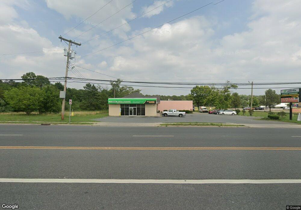
2111 N 2nd St Millville, NJ 08332
Estimated Value: $1,532,769
--
Bed
--
Bath
8,453
Sq Ft
$181/Sq Ft
Est. Value
About This Home
This home is located at 2111 N 2nd St, Millville, NJ 08332 and is currently estimated at $1,532,769, approximately $181 per square foot. 2111 N 2nd St is a home located in Cumberland County with nearby schools including R.M. Bacon Elementary School, Lakeside Middle School, and Memorial High School.
Ownership History
Date
Name
Owned For
Owner Type
Purchase Details
Closed on
Oct 16, 2012
Sold by
Wenz Corp
Bought by
Millville Holdings Llc
Current Estimated Value
Home Financials for this Owner
Home Financials are based on the most recent Mortgage that was taken out on this home.
Original Mortgage
$675,000
Outstanding Balance
$111,373
Interest Rate
2.78%
Mortgage Type
Commercial
Estimated Equity
$1,421,396
Create a Home Valuation Report for This Property
The Home Valuation Report is an in-depth analysis detailing your home's value as well as a comparison with similar homes in the area
Home Values in the Area
Average Home Value in this Area
Purchase History
| Date | Buyer | Sale Price | Title Company |
|---|---|---|---|
| Millville Holdings Llc | $740,000 | Homestead Title Agency |
Source: Public Records
Mortgage History
| Date | Status | Borrower | Loan Amount |
|---|---|---|---|
| Open | Millville Holdings Llc | $675,000 |
Source: Public Records
Tax History Compared to Growth
Tax History
| Year | Tax Paid | Tax Assessment Tax Assessment Total Assessment is a certain percentage of the fair market value that is determined by local assessors to be the total taxable value of land and additions on the property. | Land | Improvement |
|---|---|---|---|---|
| 2025 | $18,357 | $467,700 | $368,000 | $99,700 |
| 2024 | $18,357 | $467,700 | $368,000 | $99,700 |
| 2023 | $18,203 | $467,700 | $368,000 | $99,700 |
| 2022 | $17,731 | $467,700 | $368,000 | $99,700 |
| 2021 | $17,103 | $467,700 | $368,000 | $99,700 |
| 2020 | $16,870 | $467,700 | $368,000 | $99,700 |
| 2019 | $16,089 | $467,700 | $368,000 | $99,700 |
| 2018 | $15,757 | $467,700 | $368,000 | $99,700 |
| 2017 | $15,612 | $467,700 | $368,000 | $99,700 |
| 2016 | $15,415 | $467,700 | $368,000 | $99,700 |
| 2015 | $15,069 | $467,700 | $368,000 | $99,700 |
| 2014 | $15,097 | $467,700 | $368,000 | $99,700 |
Source: Public Records
Map
Nearby Homes
- 505 N 2nd St
- 12 Doughty Cir
- 1216 Forest Dr
- 405 Glenside Rd
- 7 Whitaker Ct
- 8 Whitaker Ct
- 12 Whitaker Ct
- 5 Whitaker Ct
- 11 Whitaker Ct
- 19 Whitaker Ct
- 20 Whitaker Ct
- 24 Whitaker Ct
- 18 Whitaker Ct
- Millville Plan at Whitaker Walk
- 14 Whitaker Ct
- 16 Whitaker Ct
- 22 Whitaker Ct
- 1112 Buck St
- 3 Meadow Lark Ln
- 2000 Miller Ave Unit 26
- 2184 N 2nd St
- 0 N 2nd St
- 1919 N High St
- 1915 N 2nd St
- 1915 N 2nd St
- 1913 N High St
- 1901 N High St Unit 11
- 0 Whitaker & Hansbridge Rd
- 1701 N 2nd St
- 1701 N 2nd St
- 4060 S Delsea Dr
- 607 Doris Ave
- 605 Doris Ave
- 515 Doris Ave
- 1601 N 2nd St Unit D1
- 1601 N 2nd St Unit B12
- 1601 N 2nd St Unit A2
- 1601 N 2nd St Unit C4
- 1601 N 2nd St Unit D9
- 1601 N 2nd St Unit C2