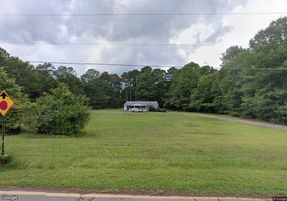
2111 Pete Dickens Rd Bogart, GA 30622
Estimated Value: $234,000 - $360,000
--
Bed
--
Bath
1,350
Sq Ft
$221/Sq Ft
Est. Value
About This Home
This home is located at 2111 Pete Dickens Rd, Bogart, GA 30622 and is currently estimated at $298,258, approximately $220 per square foot. 2111 Pete Dickens Rd is a home located in Oconee County with nearby schools including Malcom Bridge Elementary School, Malcom Bridge Middle School, and North Oconee High School.
Ownership History
Date
Name
Owned For
Owner Type
Purchase Details
Closed on
May 6, 2022
Sold by
Adams Frederick S
Bought by
Duncan Joni and Duncan Anthony Tyler
Current Estimated Value
Home Financials for this Owner
Home Financials are based on the most recent Mortgage that was taken out on this home.
Original Mortgage
$140,500
Outstanding Balance
$132,426
Interest Rate
4.42%
Mortgage Type
New Conventional
Estimated Equity
$165,832
Purchase Details
Closed on
Sep 30, 2003
Sold by
Eades Donald
Bought by
Adams Frederick S
Create a Home Valuation Report for This Property
The Home Valuation Report is an in-depth analysis detailing your home's value as well as a comparison with similar homes in the area
Home Values in the Area
Average Home Value in this Area
Purchase History
| Date | Buyer | Sale Price | Title Company |
|---|---|---|---|
| Duncan Joni | $140,500 | -- | |
| Adams Frederick S | $102,500 | -- |
Source: Public Records
Mortgage History
| Date | Status | Borrower | Loan Amount |
|---|---|---|---|
| Open | Duncan Joni | $140,500 |
Source: Public Records
Tax History Compared to Growth
Tax History
| Year | Tax Paid | Tax Assessment Tax Assessment Total Assessment is a certain percentage of the fair market value that is determined by local assessors to be the total taxable value of land and additions on the property. | Land | Improvement |
|---|---|---|---|---|
| 2024 | $1,653 | $90,387 | $25,678 | $64,709 |
| 2023 | $1,652 | $84,871 | $23,775 | $61,096 |
| 2022 | $1,369 | $63,795 | $19,021 | $44,774 |
| 2021 | $1,305 | $56,380 | $17,291 | $39,089 |
| 2020 | $1,210 | $52,176 | $15,720 | $36,456 |
| 2019 | $1,139 | $49,108 | $13,669 | $35,439 |
| 2018 | $1,018 | $42,974 | $12,426 | $30,548 |
| 2017 | $892 | $37,660 | $10,356 | $27,304 |
| 2016 | $846 | $35,710 | $9,414 | $26,296 |
| 2015 | $841 | $35,438 | $9,414 | $26,024 |
| 2014 | $809 | $33,321 | $8,558 | $24,763 |
| 2013 | -- | $31,614 | $8,558 | $23,056 |
Source: Public Records
Map
Nearby Homes
- 2188 Day Dr
- 325 Twin Oaks Cir
- 1060 Fox Hollow Ct
- 1851 McNutt Creek Rd
- 1811 McNutt Creek Rd
- 119 S Church St
- 1715 Whistling Creek Crossing Unit Lot 21
- 1120 Pearl Way
- 1190 Dials Mill Spur
- 1060 Cobblestone Ln
- 305 Dove Field Dr Unit 80
- 287 Dove Field Dr
- 287 Dove Field Dr Unit 81
- 267 Dove Field Dr Unit 82
- 247 Dove Field Dr Unit 83
- 227 Dove Field Dr Unit 84
- 1810 Beebalm Dr
- 1470 Aiken Rd
- 2061 Atlanta Hwy
- 1480 Aiken Rd
- 2140 Pete Dickens Rd
- 1420 Aiken Rd
- 2160 Pete Dickens Rd
- 2081 Atlanta Hwy
- 1400 Aiken Rd
- 2081 Pete Dickens Rd
- 1981 Atlanta Hwy
- 1390 Aiken Rd
- 2180 Pete Dickens Rd
- 2060 Atlanta Hwy
- 2040 Atlanta Hwy
- 2190 Pete Dickens Rd
- 1380 Aiken Rd
- 1380 Aiken Rd
- 2000 Atlanta Hwy
- 2000 Atlanta Hwy
- 1521 Aiken Rd