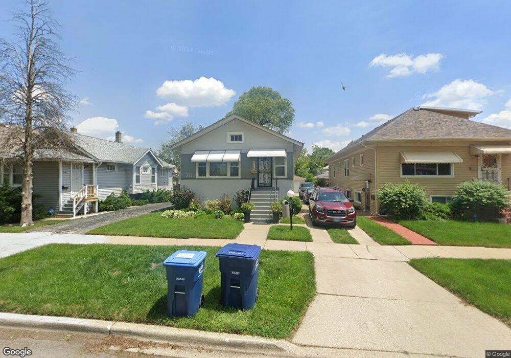
2111 S 8th Ave Maywood, IL 60153
South Maywood NeighborhoodEstimated Value: $188,000 - $279,000
3
Beds
1
Bath
985
Sq Ft
$250/Sq Ft
Est. Value
About This Home
This home is located at 2111 S 8th Ave, Maywood, IL 60153 and is currently estimated at $246,501, approximately $250 per square foot. 2111 S 8th Ave is a home located in Cook County with nearby schools including Roosevelt Elementary School, Irving Middle School, and Proviso East High School.
Ownership History
Date
Name
Owned For
Owner Type
Purchase Details
Closed on
Jul 27, 2001
Sold by
Nixon William J and Nixon Deidra L
Bought by
Pitts Gerald L and Wolfe Dawnyelle
Current Estimated Value
Home Financials for this Owner
Home Financials are based on the most recent Mortgage that was taken out on this home.
Original Mortgage
$101,500
Outstanding Balance
$39,565
Interest Rate
7.14%
Mortgage Type
FHA
Estimated Equity
$206,936
Purchase Details
Closed on
Jul 21, 1994
Sold by
Crown Mtg Company
Bought by
Nixon William J and Wolfe Deidra L
Home Financials for this Owner
Home Financials are based on the most recent Mortgage that was taken out on this home.
Original Mortgage
$72,853
Interest Rate
8.53%
Mortgage Type
FHA
Create a Home Valuation Report for This Property
The Home Valuation Report is an in-depth analysis detailing your home's value as well as a comparison with similar homes in the area
Home Values in the Area
Average Home Value in this Area
Purchase History
| Date | Buyer | Sale Price | Title Company |
|---|---|---|---|
| Pitts Gerald L | $110,000 | -- | |
| Nixon William J | $75,000 | -- |
Source: Public Records
Mortgage History
| Date | Status | Borrower | Loan Amount |
|---|---|---|---|
| Open | Pitts Gerald L | $101,500 | |
| Previous Owner | Nixon William J | $72,853 |
Source: Public Records
Tax History Compared to Growth
Tax History
| Year | Tax Paid | Tax Assessment Tax Assessment Total Assessment is a certain percentage of the fair market value that is determined by local assessors to be the total taxable value of land and additions on the property. | Land | Improvement |
|---|---|---|---|---|
| 2024 | $7,189 | $20,000 | $3,216 | $16,784 |
| 2023 | $7,378 | $20,000 | $3,216 | $16,784 |
| 2022 | $7,378 | $16,525 | $2,546 | $13,979 |
| 2021 | $7,458 | $16,524 | $2,546 | $13,978 |
| 2020 | $7,397 | $16,524 | $2,546 | $13,978 |
| 2019 | $5,112 | $11,521 | $2,278 | $9,243 |
| 2018 | $4,970 | $11,521 | $2,278 | $9,243 |
| 2017 | $4,838 | $11,521 | $2,278 | $9,243 |
| 2016 | $4,016 | $8,964 | $2,010 | $6,954 |
| 2015 | $3,670 | $8,964 | $2,010 | $6,954 |
| 2014 | $3,386 | $8,964 | $2,010 | $6,954 |
| 2013 | $3,718 | $10,316 | $2,010 | $8,306 |
Source: Public Records
Map
Nearby Homes
- 2007 S 9th Ave
- 2204 S 9th Ave Unit 2
- 2016 S 10th Ave
- 2035 S 11th Ave
- 2227 S 10th Ave
- 2218 S 11th Ave
- 1902 S 9th Ave
- 2101 S 4th Ave Unit B
- 2320 S 9th Ave
- 2219 S 13th Ave
- 2320 S 10th Ave
- 2130 S 13th Ave
- 2124 S 3rd Ave
- 1822 S 7th Ave
- 1923 S 4th Ave
- 2015 S 3rd Ave
- 2100 14th Ave
- 2336 S 11th Ave
- 2122 S 2nd Ave
- 1718 S 7th Ave