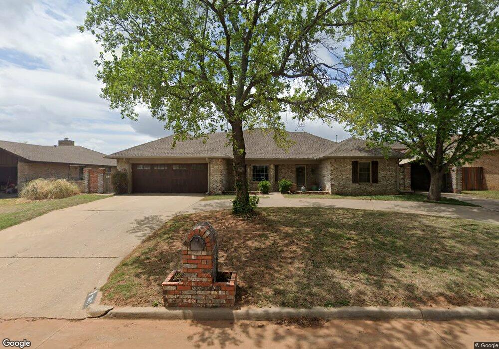
2111 Twin Dr Duncan, OK 73533
Estimated Value: $218,000 - $286,000
3
Beds
2
Baths
2,220
Sq Ft
$111/Sq Ft
Est. Value
About This Home
This home is located at 2111 Twin Dr, Duncan, OK 73533 and is currently estimated at $246,379, approximately $110 per square foot. 2111 Twin Dr is a home located in Stephens County with nearby schools including Plato Elementary School, Duncan Middle School, and Duncan High School.
Ownership History
Date
Name
Owned For
Owner Type
Purchase Details
Closed on
Feb 15, 2022
Sold by
Albert Howard Thomas
Bought by
Redlak [Roperties Llc
Current Estimated Value
Purchase Details
Closed on
Sep 24, 2015
Sold by
Johnson Jeffery Dan and Johnson Sheena M
Bought by
Johnson Jeffery Dan and Johnson Sheena M
Home Financials for this Owner
Home Financials are based on the most recent Mortgage that was taken out on this home.
Original Mortgage
$128,000
Outstanding Balance
$51,388
Interest Rate
3.99%
Mortgage Type
New Conventional
Estimated Equity
$194,991
Create a Home Valuation Report for This Property
The Home Valuation Report is an in-depth analysis detailing your home's value as well as a comparison with similar homes in the area
Home Values in the Area
Average Home Value in this Area
Purchase History
| Date | Buyer | Sale Price | Title Company |
|---|---|---|---|
| Redlak [Roperties Llc | $30,000 | None Listed On Document | |
| Johnson Jeffery Dan | -- | None Available | |
| Johnson Jeffrey Dan | $16,000 | None Available |
Source: Public Records
Mortgage History
| Date | Status | Borrower | Loan Amount |
|---|---|---|---|
| Open | Johnson Jeffrey Dan | $128,000 |
Source: Public Records
Tax History Compared to Growth
Tax History
| Year | Tax Paid | Tax Assessment Tax Assessment Total Assessment is a certain percentage of the fair market value that is determined by local assessors to be the total taxable value of land and additions on the property. | Land | Improvement |
|---|---|---|---|---|
| 2025 | $1,554 | $19,411 | $1,175 | $18,236 |
| 2024 | $1,520 | $18,845 | $1,175 | $17,670 |
| 2023 | $1,520 | $18,845 | $1,175 | $17,670 |
| 2022 | $1,425 | $18,297 | $1,175 | $17,122 |
| 2021 | $1,427 | $17,764 | $1,175 | $16,589 |
| 2020 | $1,359 | $16,744 | $1,175 | $15,569 |
| 2019 | $1,320 | $16,256 | $1,175 | $15,081 |
| 2018 | $1,338 | $16,027 | $1,175 | $14,852 |
| 2017 | $1,450 | $17,876 | $1,175 | $16,701 |
| 2016 | $1,434 | $17,871 | $1,175 | $16,696 |
| 2015 | $1,043 | $11,913 | $633 | $11,280 |
| 2014 | $1,043 | $11,913 | $633 | $11,280 |
Source: Public Records
Map
Nearby Homes
- 2201 W Club Rd
- 2110 W Club Rd
- 1706 Windsor Dr
- 1108 W Plato Rd Unit 29
- 1108 W Plato Rd Unit 1
- 1108 1108 W Plato Unit 40
- 1108 1108 W Plato Unit 17
- 2106 Carolin Dr
- 1601 1601 Pearl
- 1927 High Meadow Dr
- 1527 1527 N 13th
- 2518 Wildwood Place
- 2021 Overland Dr
- 1404 1404 Ne Aspen
- 0 Townsend St
- 28 Canterbury Ln
- 1014 Oakview Dr
- 30 Canterbury Ln
- 1705 Foxboro Dr
- 1829 1829 Terrace Dr