Estimated Value: $207,000 - $237,000
3
Beds
2
Baths
1,620
Sq Ft
$135/Sq Ft
Est. Value
About This Home
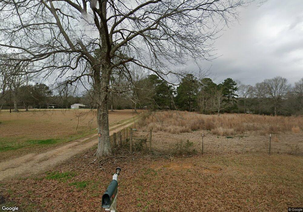
This home is located at 21119 Highway 1061, Amite, LA 70422 and is currently estimated at $218,321, approximately $134 per square foot. 21119 Highway 1061 is a home located in Tangipahoa Parish with nearby schools including Chesbrough Elementary School, Jewel M. Sumner Middle School, and Jewel M. Sumner High School.
Ownership History
Date
Name
Owned For
Owner Type
Purchase Details
Closed on
Jan 19, 2022
Sold by
Riedling Raymond Joseph and Riedling Darlene Michel
Bought by
Deluca Cortney Brabham and Deluca Charles Anthony
Current Estimated Value
Purchase Details
Closed on
Jan 21, 2010
Sold by
Bourque Wilton James and Bourque Kenneth Joseph
Bought by
Riedling Raymond Joseph and Riedling Darlene Michel
Purchase Details
Closed on
May 12, 2006
Sold by
Dickerson Karen Elizabeth Hano and Dickerson Ronald Joseph
Bought by
Bourque Kristine Digange and Bourque Wilton J
Create a Home Valuation Report for This Property
The Home Valuation Report is an in-depth analysis detailing your home's value as well as a comparison with similar homes in the area
Home Values in the Area
Average Home Value in this Area
Purchase History
| Date | Buyer | Sale Price | Title Company |
|---|---|---|---|
| Deluca Cortney Brabham | $100,000 | None Listed On Document | |
| Deluca Cortney Brabham | $100,000 | None Listed On Document | |
| Riedling Raymond Joseph | $133,000 | None Available | |
| Bourque Kristine Digange | $130,000 | Elite Title Insurance Agency |
Source: Public Records
Tax History Compared to Growth
Tax History
| Year | Tax Paid | Tax Assessment Tax Assessment Total Assessment is a certain percentage of the fair market value that is determined by local assessors to be the total taxable value of land and additions on the property. | Land | Improvement |
|---|---|---|---|---|
| 2024 | $558 | $7,272 | $1,157 | $6,115 |
| 2023 | $554 | $7,185 | $1,071 | $6,114 |
| 2022 | $554 | $7,185 | $1,071 | $6,114 |
| 2021 | $518 | $7,185 | $1,071 | $6,114 |
| 2020 | $590 | $7,185 | $1,071 | $6,114 |
| 2019 | $590 | $7,185 | $1,071 | $6,114 |
| 2018 | $583 | $7,185 | $1,071 | $6,114 |
| 2017 | $569 | $7,185 | $1,071 | $6,114 |
| 2016 | $583 | $7,185 | $1,071 | $6,114 |
| 2015 | -- | $7,451 | $1,071 | $6,380 |
| 2014 | -- | $7,451 | $1,071 | $6,380 |
Source: Public Records
Map
Nearby Homes
- 21305 Hwy 1061 None
- 21305 Louisiana 1061
- 64450 J Catha Dr
- 63279 Lowery Rd
- 62318 Friendship Church Rd
- 19181 Rolling Pines Rd
- 21490 Louisiana 10
- 0 Newman Briggs Rd Unit 2499387
- 1 Mixon Rd
- 60412 Ruth Holton Rd
- TBD Ruth Holton Rd
- 18065 Back Ridge Rd
- 0 Miller Ln
- 62283 Chappepeela Ridge Rd
- B-1 Olan Bankston Rd
- 60327 Highway 445
- 67135 Oil Field Rd
- 21119 Highway 1061
- 21119 Highway 1061
- 21107 Highway 1061
- 21107 Highway 1061
- 21143 Highway 1061
- 21125 Highway 1061
- 21125 Highway 1061
- 21119 Louisiana 1061
- 21099 Louisiana 1061
- 21099 Highway 1061
- 21145 Highway 1061
- 21139 Highway 1061
- 21100 Highway 1061
- 21120 Highway 1061
- 21006 Burdette Lee Rd
- 21006 Burdette Lee Rd
- 21062 Burdette Lee Rd
- 21210 Highway 1061
- 21128 Burdette Lee Rd
- 20486 Highway 1061