2112 Highway 145 Carnesville, GA 30521
Estimated Value: $561,693 - $710,000
6
Beds
4
Baths
1,409
Sq Ft
$434/Sq Ft
Est. Value
About This Home
This home is located at 2112 Highway 145, Carnesville, GA 30521 and is currently estimated at $612,173, approximately $434 per square foot. 2112 Highway 145 is a home located in Franklin County with nearby schools including Franklin County High School and Cornerstone Christian Academy.
Ownership History
Date
Name
Owned For
Owner Type
Purchase Details
Closed on
Sep 9, 2019
Sold by
Powers James M Estate
Bought by
Isherwood Robert
Current Estimated Value
Home Financials for this Owner
Home Financials are based on the most recent Mortgage that was taken out on this home.
Original Mortgage
$289,000
Outstanding Balance
$238,989
Interest Rate
3.6%
Mortgage Type
New Conventional
Estimated Equity
$373,184
Purchase Details
Closed on
Mar 7, 2001
Sold by
The Chase Manhattan
Bought by
Powers James M
Purchase Details
Closed on
Dec 5, 2000
Sold by
Anglin Darrell G
Bought by
The Chase Manhattan
Purchase Details
Closed on
Jun 30, 1999
Sold by
Anglin Darrell G
Bought by
Anglin Darrell G
Purchase Details
Closed on
May 9, 1996
Bought by
Anglin Darrell G
Create a Home Valuation Report for This Property
The Home Valuation Report is an in-depth analysis detailing your home's value as well as a comparison with similar homes in the area
Home Values in the Area
Average Home Value in this Area
Purchase History
| Date | Buyer | Sale Price | Title Company |
|---|---|---|---|
| Isherwood Robert | $340,000 | -- | |
| Powers James M | $155,000 | -- | |
| The Chase Manhattan | $169,000 | -- | |
| Anglin Darrell G | -- | -- | |
| Anglin Darrell G | $130,000 | -- |
Source: Public Records
Mortgage History
| Date | Status | Borrower | Loan Amount |
|---|---|---|---|
| Open | Isherwood Robert | $289,000 |
Source: Public Records
Tax History Compared to Growth
Tax History
| Year | Tax Paid | Tax Assessment Tax Assessment Total Assessment is a certain percentage of the fair market value that is determined by local assessors to be the total taxable value of land and additions on the property. | Land | Improvement |
|---|---|---|---|---|
| 2024 | $3,598 | $178,247 | $43,037 | $135,210 |
| 2023 | $3,575 | $164,998 | $41,932 | $123,066 |
| 2022 | $3,238 | $148,068 | $36,082 | $111,986 |
| 2021 | $3,550 | $131,029 | $36,082 | $94,947 |
| 2020 | $3,300 | $120,707 | $36,082 | $84,625 |
| 2019 | $2,367 | $88,124 | $36,082 | $52,042 |
| 2018 | $2,127 | $79,182 | $34,488 | $44,694 |
| 2017 | $2,212 | $79,182 | $34,488 | $44,694 |
| 2016 | $2,178 | $74,630 | $34,488 | $40,142 |
| 2015 | -- | $74,630 | $34,488 | $40,142 |
| 2014 | -- | $73,706 | $34,488 | $39,217 |
| 2013 | -- | $74,531 | $34,488 | $40,042 |
Source: Public Records
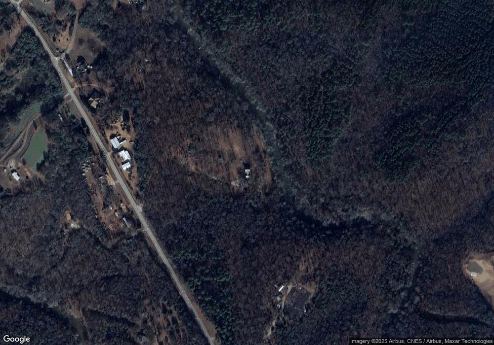
Map
Nearby Homes
- 597 Meadow Brook Ln
- 1350 Noah Crow Rd
- 157 Riverbend Cir
- 2390 W Main St
- 2521 Starrs Bridge Rd
- 329 Riverbend Dr
- 249 Taylor St
- 206 College Heights
- 1687 E Main St
- 23 College Heights Place
- 41 College Heights Place
- 61 College Heights Place
- 155 Carey St
- 0 New Franklin Church Rd
- 6.98 ACRES New Franklin Church Rd
- 6602 New Franklin Church Rd
- 224 Brad St
- 603 Springdale Dr
- 48 Brad St
- 95 Ext Brad St
- 2112 Highway 145
- 2112 Highway 145
- 2155 Highway 145
- 2284 Highway 145
- 2309 Highway 145
- 1910 Highway 145
- 2051 Highway 145
- 1869 Georgia 145
- 20 River Ridge Rd
- 112 River Ridge Rd
- 140 River Ridge Rd
- 305 River Ridge Dr
- 0 River Ridge Dr Unit 7373522
- 0 River Ridge Dr Unit 7170762
- 0 River Ridge Dr Unit 7548025
- 0 River Ridge Dr Unit 8155871
- 0 River Oaks Unit Lot 44 8538217
- 130 River Front Ln
- 150 River Ridge Rd Unit LOT 5
- 150 River Ridge Rd