2112 Preskitt Rd Decatur, TX 76234
Estimated Value: $1,074,204
--
Bed
2
Baths
1,384
Sq Ft
$776/Sq Ft
Est. Value
About This Home
This home is located at 2112 Preskitt Rd, Decatur, TX 76234 and is currently priced at $1,074,204, approximately $776 per square foot. 2112 Preskitt Rd is a home located in Wise County with nearby schools including Decatur High School.
Ownership History
Date
Name
Owned For
Owner Type
Purchase Details
Closed on
Oct 23, 2019
Sold by
Watts Naomi and Talley Emily
Bought by
Haynes James and James Haynes Investment Trust
Current Estimated Value
Home Financials for this Owner
Home Financials are based on the most recent Mortgage that was taken out on this home.
Original Mortgage
$642,983
Interest Rate
3.7%
Mortgage Type
Purchase Money Mortgage
Purchase Details
Closed on
Mar 12, 2013
Sold by
Haynes J E
Bought by
Haynes J E and J E Hayens Living Trust
Create a Home Valuation Report for This Property
The Home Valuation Report is an in-depth analysis detailing your home's value as well as a comparison with similar homes in the area
Home Values in the Area
Average Home Value in this Area
Purchase History
| Date | Buyer | Sale Price | Title Company |
|---|---|---|---|
| Haynes James | -- | Wctc | |
| Haynes J E | -- | None Available |
Source: Public Records
Mortgage History
| Date | Status | Borrower | Loan Amount |
|---|---|---|---|
| Closed | Haynes James | $642,983 |
Source: Public Records
Tax History Compared to Growth
Tax History
| Year | Tax Paid | Tax Assessment Tax Assessment Total Assessment is a certain percentage of the fair market value that is determined by local assessors to be the total taxable value of land and additions on the property. | Land | Improvement |
|---|---|---|---|---|
| 2025 | $3,969 | $326,465 | $34,281 | $292,184 |
| 2024 | $3,969 | $325,874 | $33,595 | $292,279 |
| 2023 | $3,598 | $297,792 | $0 | $0 |
| 2022 | $3,920 | $255,460 | $0 | $0 |
| 2021 | $3,025 | $1,279,450 | $1,119,650 | $159,800 |
| 2020 | $2,949 | $1,334,300 | $1,180,130 | $154,170 |
| 2019 | $2,179 | $139,430 | $27,620 | $111,810 |
| 2018 | $1,956 | $121,580 | $24,930 | $96,650 |
| 2017 | $1,810 | $112,290 | $22,660 | $89,630 |
| 2016 | $1,648 | $103,190 | $22,660 | $80,530 |
| 2015 | -- | $96,360 | $22,660 | $73,700 |
| 2014 | -- | $85,920 | $11,180 | $74,740 |
Source: Public Records
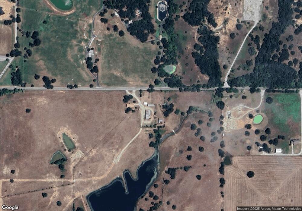
Map
Nearby Homes
- 380 Private Road 4219
- TBD 10.01+/- Acres Preskitt Rd
- 3300 S Murvil St
- 3500 S Murvil St
- 1617 Thousand Oaks Dr
- 3106 S Lipsey St
- 363 County Road 3198
- 3005 S Lipsey St
- 3200 S Fm 51
- 2705 S Lipsey St
- 1117 Acorn Dr
- 1121 Acorn Dr
- 516 Wild Wood Dr
- 1202 W Thompson St Unit Land
- 378 County Road 3170
- 300 County Road 3141
- 1 Vista Dr
- 1405 Rodden Dr
- LEXINGTON Plan at Vista Park
- OXFORD Plan at Vista Park
- 2112 Preskitt Rd
- 2112 Preskitt Rd Unit A
- 2131 Preskitt Rd
- 1932 Preskitt Rd
- 2097 Preskitt Rd
- 1878 Preskitt Rd
- 780 County Road 3051
- 244 County Road 3051
- 1851 Preskitt Rd
- 1851 Preskitt Rd
- 651 County Road 3001
- 2099 Preskitt Rd
- 2099 Preskitt Rd
- 688 County Road 3001
- 160 County Road 3051
- 140 County Road 3051
- 210 County Road 3051
- 746 County Road 3051
- 746 County Road 3051
- 0 County Road 3051 Unit 11529732