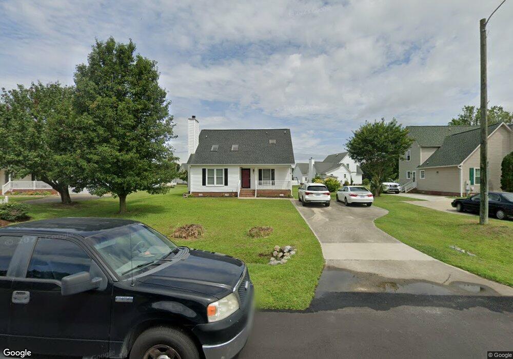
2112 Scotsdale Ct Winterville, NC 28590
Estimated Value: $239,000 - $279,000
3
Beds
2
Baths
1,650
Sq Ft
$156/Sq Ft
Est. Value
About This Home
This home is located at 2112 Scotsdale Ct, Winterville, NC 28590 and is currently estimated at $257,721, approximately $156 per square foot. 2112 Scotsdale Ct is a home located in Pitt County with nearby schools including Creekside Elementary School, A.G. Cox Middle School, and South Central High School.
Ownership History
Date
Name
Owned For
Owner Type
Purchase Details
Closed on
Sep 22, 2009
Sold by
Caico John and Caico Pamela A
Bought by
Moore Sheena B and Moore Gary K
Current Estimated Value
Home Financials for this Owner
Home Financials are based on the most recent Mortgage that was taken out on this home.
Original Mortgage
$146,900
Outstanding Balance
$96,218
Interest Rate
5.22%
Mortgage Type
New Conventional
Estimated Equity
$161,503
Purchase Details
Closed on
Mar 30, 2007
Sold by
Merritt Robert A and Merritt Brenda E
Bought by
Caico John and Caico Pamela A
Home Financials for this Owner
Home Financials are based on the most recent Mortgage that was taken out on this home.
Original Mortgage
$110,400
Interest Rate
6.27%
Mortgage Type
New Conventional
Create a Home Valuation Report for This Property
The Home Valuation Report is an in-depth analysis detailing your home's value as well as a comparison with similar homes in the area
Home Values in the Area
Average Home Value in this Area
Purchase History
| Date | Buyer | Sale Price | Title Company |
|---|---|---|---|
| Moore Sheena B | $147,000 | None Available | |
| Caico John | $138,000 | None Available |
Source: Public Records
Mortgage History
| Date | Status | Borrower | Loan Amount |
|---|---|---|---|
| Open | Moore Sheena B | $146,900 | |
| Previous Owner | Caico John | $110,400 |
Source: Public Records
Tax History Compared to Growth
Tax History
| Year | Tax Paid | Tax Assessment Tax Assessment Total Assessment is a certain percentage of the fair market value that is determined by local assessors to be the total taxable value of land and additions on the property. | Land | Improvement |
|---|---|---|---|---|
| 2025 | $1,906 | $243,019 | $30,000 | $213,019 |
| 2024 | $1,894 | $243,019 | $30,000 | $213,019 |
| 2023 | $1,460 | $158,547 | $30,000 | $128,547 |
| 2022 | $1,467 | $158,547 | $30,000 | $128,547 |
| 2021 | $1,422 | $158,547 | $30,000 | $128,547 |
| 2020 | $1,410 | $158,547 | $30,000 | $128,547 |
| 2019 | $1,285 | $142,960 | $28,000 | $114,960 |
| 2018 | $1,205 | $142,960 | $28,000 | $114,960 |
| 2017 | $1,205 | $142,960 | $28,000 | $114,960 |
| 2016 | $1,190 | $142,960 | $28,000 | $114,960 |
| 2015 | $1,207 | $146,879 | $28,000 | $118,879 |
| 2014 | $1,207 | $146,879 | $28,000 | $118,879 |
Source: Public Records
Map
Nearby Homes
- 520 Huff Dr
- 2420 Bray Ct
- 4304 Davencroft Village Dr
- 2201 Rhinestone Dr
- 4316 Davencroft Village Dr
- Sumner Plan at Davenport Farms
- Rockbridge Plan at Davenport Farms
- Wyatt Plan at Davenport Farms
- 2332 Rhinestone Dr
- 2324 Rhrinestone Dr
- 2301 Rhinestone Dr
- 2349 Rhinestone Dr
- 2201 Zircon Dr
- 821 Jade Ln
- 2005 Southside Dr
- 701 Peridot Ct
- 2209 Rhinestone Dr
- 424 Southbridge Ct
- 420 Southbridge Ct
- 2100 Rhinestone Dr
- 2116 Scotsdale Ct
- 2106 Scotsdale Ct
- 605 Shadow Ridge Dr
- 2118 Scotsdale Ct
- 2581 Thomas Langston Rd
- 2573 Thomas Langston Rd
- 2115 Scotsdale Ct
- 577 Shadow Ridge Dr
- 2121 Scotsdale Ct
- 2124 Eaton Ct
- 621 Shadow Ridge Dr
- 683 Huff Dr
- 2117 Scotsdale Ct
- 567 Shadow Ridge Dr
- 2125 Eaton Ct
- 604 Cliff Ct
- 2116 Eaton Ct
- 2597 Thomas Langston Rd
- 680 Huff Dr
- 600 Cliff Ct