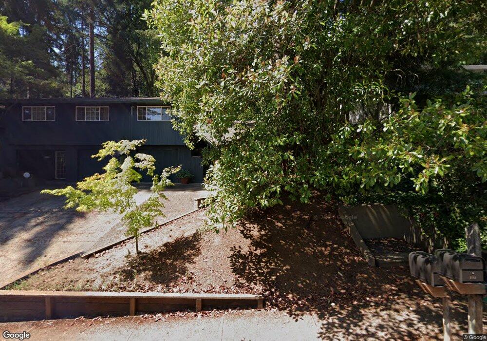
2112 W 29th Ave Eugene, OR 97405
Crest Drive NeighborhoodEstimated Value: $660,310 - $718,000
4
Beds
3
Baths
2,704
Sq Ft
$256/Sq Ft
Est. Value
About This Home
This home is located at 2112 W 29th Ave, Eugene, OR 97405 and is currently estimated at $692,078, approximately $255 per square foot. 2112 W 29th Ave is a home located in Lane County with nearby schools including Adams Elementary School, Arts And Technology Academy At Jefferson, and Churchill High School.
Ownership History
Date
Name
Owned For
Owner Type
Purchase Details
Closed on
Jul 30, 2022
Sold by
Bryer and Akiko
Bought by
Kato-Bryer Family Living Trust
Current Estimated Value
Purchase Details
Closed on
Sep 27, 2010
Sold by
Bryer Philip
Bought by
Bryer Philip and Kato Akiko
Purchase Details
Closed on
Sep 30, 2009
Sold by
Houston Sam and Houston Susan M
Bought by
Bryer Philip
Purchase Details
Closed on
Jul 23, 2003
Sold by
Esterberg Mark and Esterberg Sherrie C
Bought by
Houston Sam and Houston Susan M
Home Financials for this Owner
Home Financials are based on the most recent Mortgage that was taken out on this home.
Original Mortgage
$223,920
Interest Rate
5.15%
Mortgage Type
Purchase Money Mortgage
Create a Home Valuation Report for This Property
The Home Valuation Report is an in-depth analysis detailing your home's value as well as a comparison with similar homes in the area
Home Values in the Area
Average Home Value in this Area
Purchase History
| Date | Buyer | Sale Price | Title Company |
|---|---|---|---|
| Kato-Bryer Family Living Trust | -- | None Listed On Document | |
| Bryer Philip | -- | None Available | |
| Bryer Philip | $344,000 | Western Title | |
| Houston Sam | $279,900 | Western Pioneer Title Co |
Source: Public Records
Mortgage History
| Date | Status | Borrower | Loan Amount |
|---|---|---|---|
| Previous Owner | Houston Sam | $223,920 | |
| Closed | Houston Sam | $41,985 |
Source: Public Records
Tax History
| Year | Tax Paid | Tax Assessment Tax Assessment Total Assessment is a certain percentage of the fair market value that is determined by local assessors to be the total taxable value of land and additions on the property. | Land | Improvement |
|---|---|---|---|---|
| 2025 | $7,657 | $393,011 | -- | -- |
| 2024 | $7,562 | $381,565 | -- | -- |
| 2023 | $7,562 | $370,452 | $0 | $0 |
| 2022 | $7,084 | $359,663 | $0 | $0 |
| 2021 | $6,654 | $349,188 | $0 | $0 |
| 2020 | $6,625 | $339,018 | $0 | $0 |
| 2019 | $6,309 | $329,144 | $0 | $0 |
| 2018 | $5,877 | $310,250 | $0 | $0 |
| 2017 | $5,490 | $310,250 | $0 | $0 |
| 2016 | $5,338 | $301,214 | $0 | $0 |
| 2015 | $5,159 | $292,441 | $0 | $0 |
| 2014 | $5,026 | $283,923 | $0 | $0 |
Source: Public Records
Map
Nearby Homes
- 3093 Soloman Loop
- 2850 Garfield St
- 2225 W 28th Ave
- 3023 Ashley Loop
- 2315 W 28th Ave
- 2037 Morning View Dr
- 2323 W 28th Ave
- 2673 Garfield St
- 2455 W 29th Ave
- 1783 Graham Dr
- 2572 W 28th Ave
- 0 Mclean Blvd Unit 24671448
- 0 Mclean Blvd Unit 697374759
- 2030 W 34th Ave
- 2430 Wilson Dr
- 2490 Panorama Dr
- 2736 Kismet Way
- 2260 Orr Ln
- 2870 Hawkins Ln
- 2610 Park Forest Dr
- 2130 W 29th Ave
- 2094 W 29th Ave
- 2191 Shields Ave
- 2111 Shields Ave
- 2105 W 29th Ave
- 2160 W 29th Ave
- 2097 W 29th Ave
- 2084 W 29th Ave
- 2135 W 29th Ave
- 2225 Shields Ave
- 2083 W 29th Ave
- 2165 W 29th Ave
- 2128 W 28th Ave
- 2192 W 29th Ave
- 2110 W 28th Ave
- 2144 W 28th Ave
- 2222 Shields Ave
- 2180 Shields Ave
- 2090 W 28th Ave
- 2073 W 29th Ave
Your Personal Tour Guide
Ask me questions while you tour the home.