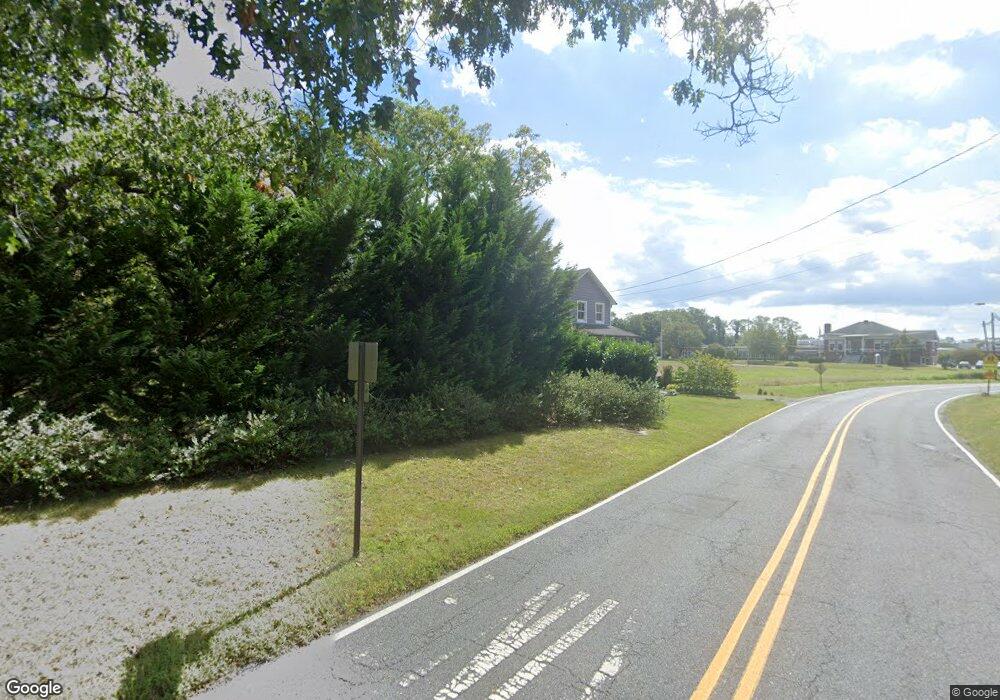
2112 Westside Dr Allenwood, NJ 08720
Estimated Value: $725,000 - $975,000
4
Beds
1
Bath
2,448
Sq Ft
$339/Sq Ft
Est. Value
About This Home
This home is located at 2112 Westside Dr, Allenwood, NJ 08720 and is currently estimated at $831,022, approximately $339 per square foot. 2112 Westside Dr is a home located in Monmouth County with nearby schools including Wall High School and The Brookside School.
Ownership History
Date
Name
Owned For
Owner Type
Purchase Details
Closed on
Apr 27, 2007
Sold by
Kittlesen Boyd C and Kittlesen Isabella B
Bought by
Delpino Brian and Mckelvey Kristin B
Current Estimated Value
Home Financials for this Owner
Home Financials are based on the most recent Mortgage that was taken out on this home.
Original Mortgage
$82,200
Interest Rate
5.91%
Mortgage Type
Stand Alone Second
Create a Home Valuation Report for This Property
The Home Valuation Report is an in-depth analysis detailing your home's value as well as a comparison with similar homes in the area
Home Values in the Area
Average Home Value in this Area
Purchase History
| Date | Buyer | Sale Price | Title Company |
|---|---|---|---|
| Delpino Brian | $411,000 | None Available |
Source: Public Records
Mortgage History
| Date | Status | Borrower | Loan Amount |
|---|---|---|---|
| Closed | Delpino Brian | $82,200 | |
| Open | Delpino Brian | $328,800 |
Source: Public Records
Tax History Compared to Growth
Tax History
| Year | Tax Paid | Tax Assessment Tax Assessment Total Assessment is a certain percentage of the fair market value that is determined by local assessors to be the total taxable value of land and additions on the property. | Land | Improvement |
|---|---|---|---|---|
| 2025 | $10,584 | $501,600 | $232,000 | $269,600 |
| 2024 | $10,268 | $501,600 | $232,000 | $269,600 |
| 2023 | $10,268 | $501,600 | $232,000 | $269,600 |
| 2022 | $8,084 | $501,600 | $232,000 | $269,600 |
| 2021 | $8,084 | $404,800 | $232,000 | $172,800 |
| 2020 | $7,987 | $404,800 | $232,000 | $172,800 |
| 2019 | $7,890 | $404,800 | $232,000 | $172,800 |
| 2018 | $7,821 | $404,800 | $232,000 | $172,800 |
| 2017 | $7,667 | $404,800 | $232,000 | $172,800 |
| 2016 | $7,505 | $404,800 | $232,000 | $172,800 |
| 2015 | $5,676 | $192,400 | $94,400 | $98,000 |
| 2014 | $5,131 | $177,900 | $103,500 | $74,400 |
Source: Public Records
Map
Nearby Homes
- 3118 Atlantic Ave
- 3404 Sandpiper Way
- 2262 Allenwood Rd
- 2100 Princeton Ct
- 2113 First Ave
- 3228 Allaire Rd
- 2227 Christopher Way
- 2338 Ramshorn Dr
- 1980 Campbell Rd
- 1807 Bridlemere Ave
- 2101 Friar Ct
- 1919 Atlantic Ave Unit 15
- 1919 Atlantic Ave Unit 26
- 814 Bristol Ln
- 2148 Allenwood Rd
- 737 Paramount Way
- 1908 Sherwood Dr
- 1412 Winesap Dr
- 1590 Holly Blvd
- 2808 Concord Dr
- 2115 Westside Dr
- 2110 Westside Dr
- 2113 Westside Dr
- 3217 Atlantic Ave
- 3300 Allenwood Lakewood Rd
- 3427 Shoreline Dr
- 3425 Shoreline Dr
- 3216 Atlantic Ave
- 3429 Shoreline Dr
- 3218 Atlantic Ave
- 3431 Shoreline Dr
- 3209 Atlantic Ave
- 3227 Atlantic Ave
- 3222 Atlantic Ave
- 3211 Allenwood Lakewood Rd
- 3208 Allenwood Lakewood Rd Unit B
- 3208 Allenwood Lakewood Rd
- 3212 Atlantic Ave
- 3209 Allenwood Lakewood Rd
- 3226 Atlantic Ave
