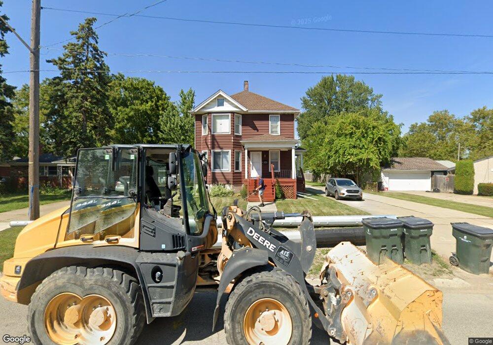
21121 12 Mile Unknown, MI 48081
Estimated Value: $291,726 - $321,000
--
Bed
3
Baths
2,342
Sq Ft
$130/Sq Ft
Est. Value
About This Home
This home is located at 21121 12 Mile, Unknown, MI 48081 and is currently estimated at $305,432, approximately $130 per square foot. 21121 12 Mile is a home located in Macomb County with nearby schools including Rodgers Elementary School, Kennedy Middle School, and Lake Shore High School.
Ownership History
Date
Name
Owned For
Owner Type
Purchase Details
Closed on
Mar 14, 2022
Sold by
21121 East 12 Mile Llc
Bought by
Maccreed Holdings Llc
Current Estimated Value
Purchase Details
Closed on
Sep 15, 2016
Sold by
Esse Lori and Esse Lori A
Bought by
21121 East 21 Mile Llc
Purchase Details
Closed on
Apr 30, 2013
Sold by
Stanbury Thomas W and Stanbury Meda M
Bought by
Maple Lane Properties Llc
Create a Home Valuation Report for This Property
The Home Valuation Report is an in-depth analysis detailing your home's value as well as a comparison with similar homes in the area
Home Values in the Area
Average Home Value in this Area
Purchase History
| Date | Buyer | Sale Price | Title Company |
|---|---|---|---|
| Maccreed Holdings Llc | $272,500 | Vanguard Title | |
| 21121 East 21 Mile Llc | -- | None Available | |
| Esse Lori | $141,000 | None Available | |
| Maple Lane Properties Llc | $50,000 | 1St Choice Title Svcs Inc |
Source: Public Records
Tax History Compared to Growth
Tax History
| Year | Tax Paid | Tax Assessment Tax Assessment Total Assessment is a certain percentage of the fair market value that is determined by local assessors to be the total taxable value of land and additions on the property. | Land | Improvement |
|---|---|---|---|---|
| 2025 | $9,186 | $136,600 | $0 | $0 |
| 2024 | $8,978 | $145,900 | $0 | $0 |
| 2023 | $8,450 | $130,100 | $0 | $0 |
| 2022 | $5,040 | $114,300 | $0 | $0 |
| 2021 | $4,963 | $99,200 | $0 | $0 |
| 2020 | $4,848 | $89,800 | $0 | $0 |
| 2019 | $4,769 | $81,700 | $0 | $0 |
| 2018 | $4,691 | $73,400 | $0 | $0 |
| 2017 | $4,880 | $64,600 | $8,600 | $56,000 |
| 2016 | $3,527 | $64,600 | $0 | $0 |
| 2015 | $3,449 | $60,400 | $0 | $0 |
| 2012 | -- | $57,700 | $10,300 | $47,400 |
Source: Public Records
Map
Nearby Homes
- 21136 E 12 Mile Rd
- 20924 Saint Gertrude St
- 20938 Hunt Dr Unit 52
- 20922 Hunt Dr
- 20825 Washington St
- 28930 Little MacK Ave
- 20918 Michael Ct
- 29254 Harding St
- 22016 Visnaw St
- 29563 Little MacK Ave
- 28710 Little MacK Ave
- 405 Pineview Ct Unit 9
- 29243 Boston St
- 28824 Boston St
- 21217 Raymond St
- 20551 Fenton St
- 28413 Ruehle St
- 29824 Gloria St
- 22212 Mylls Ct
- 28316 Little MacK Ave
- 21121 E 12 Mile Rd
- 29601 Manhattan St
- 21119 E 12 Mile Rd
- 29607 Manhattan St
- 21113 E 12 Mile Rd
- 29613 Manhattan St
- 21107 E 12 Mile Rd
- 29619 Manhattan St
- 21101 E 12 Mile Rd
- 21120 E 12 Mile Rd
- 21201 E 12 Mile Rd
- 29106 Elmwood St
- 21140 E 12 Mile Rd
- 21110 E 12 Mile Rd Unit Bldg-Unit
- 21110 E 12 Mile Rd
- 29607 Champine St
- 29112 Elmwood St
- 21100 E 12 Mile Rd
- 21100 Twelve Mile Rd
- 29613 Champine St