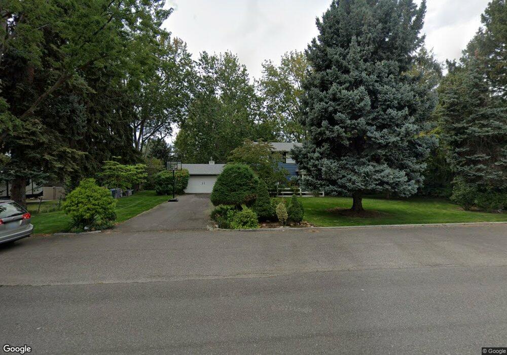
2113 Harris Ave Richland, WA 99354
Estimated Value: $566,677 - $657,000
3
Beds
3
Baths
2,576
Sq Ft
$238/Sq Ft
Est. Value
About This Home
This home is located at 2113 Harris Ave, Richland, WA 99354 and is currently estimated at $613,169, approximately $238 per square foot. 2113 Harris Ave is a home located in Benton County with nearby schools including Jefferson Elementary School, Chief Joseph Middle School, and Hanford High School.
Ownership History
Date
Name
Owned For
Owner Type
Purchase Details
Closed on
Jul 1, 2020
Sold by
Leggett Lillian S and Leggett Robert A
Bought by
Swisher Kevin R and Swisher Kristin M
Current Estimated Value
Home Financials for this Owner
Home Financials are based on the most recent Mortgage that was taken out on this home.
Original Mortgage
$320,000
Outstanding Balance
$283,755
Interest Rate
3.1%
Mortgage Type
New Conventional
Estimated Equity
$329,414
Create a Home Valuation Report for This Property
The Home Valuation Report is an in-depth analysis detailing your home's value as well as a comparison with similar homes in the area
Home Values in the Area
Average Home Value in this Area
Purchase History
| Date | Buyer | Sale Price | Title Company |
|---|---|---|---|
| Swisher Kevin R | $400,000 | Ticor Title Co |
Source: Public Records
Mortgage History
| Date | Status | Borrower | Loan Amount |
|---|---|---|---|
| Open | Swisher Kevin R | $320,000 |
Source: Public Records
Tax History Compared to Growth
Tax History
| Year | Tax Paid | Tax Assessment Tax Assessment Total Assessment is a certain percentage of the fair market value that is determined by local assessors to be the total taxable value of land and additions on the property. | Land | Improvement |
|---|---|---|---|---|
| 2024 | $4,806 | $525,960 | $50,000 | $475,960 |
| 2023 | $4,806 | $513,750 | $50,000 | $463,750 |
| 2022 | $4,326 | $440,530 | $50,000 | $390,530 |
| 2021 | $4,511 | $391,710 | $50,000 | $341,710 |
| 2020 | $4,226 | $392,600 | $50,000 | $342,600 |
| 2019 | $3,557 | $347,350 | $55,200 | $292,150 |
| 2018 | $3,668 | $314,890 | $55,200 | $259,690 |
| 2017 | $3,235 | $271,610 | $55,200 | $216,410 |
| 2016 | -- | $271,610 | $55,200 | $216,410 |
| 2015 | $3,249 | $271,610 | $55,200 | $216,410 |
| 2014 | -- | $271,610 | $55,200 | $216,410 |
| 2013 | -- | $271,610 | $55,200 | $216,410 |
Source: Public Records
Map
Nearby Homes
- 2110 Davison Ave
- 324 Saint St
- 1947 Hetrick St
- 1920 Howell Ave
- 562 Fuller St
- 2342 Davison Ave
- 517 Catskill St
- 515 Blue St
- 78 Whitten St
- 42 Mercury Dr
- 49 Galaxy Ln
- 2462 Mullet Ct
- 21 Nuclear Ln
- 63 Galaxy Ln
- 11804 Cordon Crest Ct
- 11702 Cordon Crest Ct
- 733 Snyder St
- 590 McDonald Dr
- 2445 Westmoreland Dr
- 1 McDonald Dr
- 2119 Harris Ave
- 2109 Harris Ave
- 2112 Briarwood Ct
- 2106 Briarwood Ct
- 2118 Briarwood Ct
- 2125 Harris Ave
- 2112 Harris Ave
- 2104 Briarwood Ct
- 211 Wallace St
- 2108 Harris Ave
- 2118 Harris Ave
- 2108 Briarwood Ct
- 2101 Harris Ave
- 2124 Briarwood Ct
- 60 Park St
- 62 Park St
- 2122 Harris Ave
- 58 Park St
- 2101 Briarwood Ct
- 2109 Briarwood Ct