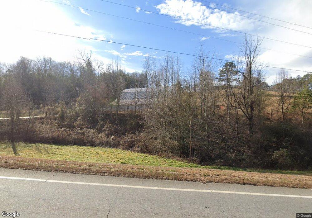
2113 Highway 129 N Cleveland, GA 30528
Estimated Value: $231,000 - $415,000
--
Bed
--
Bath
--
Sq Ft
13.91
Acres
About This Home
This home is located at 2113 Highway 129 N, Cleveland, GA 30528 and is currently estimated at $310,111. 2113 Highway 129 N is a home with nearby schools including Tesnatee Gap Elementary (Old White County Intermediate), White County 9th Grade Academy, and Jack P. Nix Elementary School.
Ownership History
Date
Name
Owned For
Owner Type
Purchase Details
Closed on
Mar 8, 2017
Sold by
Raymond
Bought by
Westfall Raymond and Impeduglia Maryann
Current Estimated Value
Create a Home Valuation Report for This Property
The Home Valuation Report is an in-depth analysis detailing your home's value as well as a comparison with similar homes in the area
Home Values in the Area
Average Home Value in this Area
Purchase History
| Date | Buyer | Sale Price | Title Company |
|---|---|---|---|
| Westfall Raymond | -- | -- |
Source: Public Records
Tax History Compared to Growth
Tax History
| Year | Tax Paid | Tax Assessment Tax Assessment Total Assessment is a certain percentage of the fair market value that is determined by local assessors to be the total taxable value of land and additions on the property. | Land | Improvement |
|---|---|---|---|---|
| 2025 | $271 | $69,848 | $62,872 | $6,976 |
| 2024 | $271 | $63,564 | $56,588 | $6,976 |
| 2023 | $309 | $58,084 | $50,300 | $7,784 |
| 2022 | $319 | $54,940 | $47,156 | $7,784 |
| 2021 | $367 | $50,636 | $42,452 | $8,184 |
| 2020 | $412 | $48,700 | $39,420 | $9,280 |
| 2019 | $193 | $41,052 | $39,420 | $1,632 |
| 2018 | $188 | $41,052 | $39,420 | $1,632 |
| 2017 | $191 | $41,340 | $39,420 | $1,920 |
| 2016 | $187 | $41,340 | $39,420 | $1,920 |
| 2015 | $123 | $11,560 | $39,420 | $0 |
| 2014 | $2,302 | $215,120 | $0 | $0 |
Source: Public Records
Map
Nearby Homes
- 266 Hunts Ridge Dr
- 197 Hunts Ridge Dr
- 113 Stoddard Ln
- 0 Jess Hunt Rd W
- 147 Jess Hunt Rd W
- 25 Caudell Dr
- 0 Appalachian Pkwy Unit 22327486
- S. LACEOLA ROAD Lot 242
- 97 Hawks Ridge Ct
- 51 Hawks Ridge Ct
- 0 Freeman View Trail Unit LOT 2 10540144
- 50 Hawks Ridge Ct
- 96 Hawks Ridge Ct
- 0 Laurel Point Unit 10623374
- 96 Joyce Drive (Off Airport Road)
- LOT 5 Stacey Dr
- 156 Brett Rd
- 213 Jackson Heights
- 201 Jackson Heights
- 189 Jackson Heights
- LOT #2 High Rock Trail
- 0 Hamik Hollow Rd Unit 10068478
- 0 Hamik Hollow Rd
- 9 Wild Turkey Trail
- 334 Lindsey Dr
- 270 Lindsey Dr
- 0 Claude Sims Rd Unit 3 3025035
- 0 Claude Sims Rd Unit 7261598
- 0 Claude Sims Rd Unit 8068866
- 3 Claude Sims Rd
- 0 Claude Sims Rd Unit 10547361
- 0 Claude Sims Rd Unit 20020406
- 0 Claude Sims Rd Unit 20020405
- 0 Claude Sims Rd Unit 20012847
- 0 Claude Sims Rd Unit 20012846
- 0 Claude Sims Rd Unit 20007236
- 0 Claude Sims Rd Unit 20007235
- 0 Claude Sims Rd Unit 20001285
- 0 Claude Sims Rd Unit 20001283
- 0 Claude Sims Rd Unit 9067280