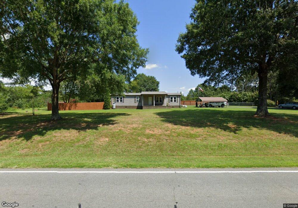
2113 Highway 73 Iron Station, NC 28080
Estimated Value: $241,000 - $297,000
3
Beds
2
Baths
1,344
Sq Ft
$195/Sq Ft
Est. Value
About This Home
This home is located at 2113 Highway 73, Iron Station, NC 28080 and is currently estimated at $261,418, approximately $194 per square foot. 2113 Highway 73 is a home located in Lincoln County with nearby schools including Iron Station Elementary School, East Lincoln Middle School, and East Lincoln High School.
Ownership History
Date
Name
Owned For
Owner Type
Purchase Details
Closed on
May 12, 2023
Sold by
Solbakken Stephen O and Solbakken Ellen F
Bought by
Solbakken Stephen O and Solbakken Stephen O
Current Estimated Value
Purchase Details
Closed on
Jun 9, 2020
Sold by
Rudisill Michele Davis
Bought by
Solbakken Stephen O and Solbakken Ellen F
Home Financials for this Owner
Home Financials are based on the most recent Mortgage that was taken out on this home.
Original Mortgage
$147,250
Interest Rate
3.2%
Mortgage Type
New Conventional
Purchase Details
Closed on
Nov 9, 2017
Sold by
Glenda Sue R Mauney
Bought by
Rudisill Joshua and Rudisill Abbey
Home Financials for this Owner
Home Financials are based on the most recent Mortgage that was taken out on this home.
Original Mortgage
$193,600
Interest Rate
3.9%
Create a Home Valuation Report for This Property
The Home Valuation Report is an in-depth analysis detailing your home's value as well as a comparison with similar homes in the area
Home Values in the Area
Average Home Value in this Area
Purchase History
| Date | Buyer | Sale Price | Title Company |
|---|---|---|---|
| Solbakken Stephen O | -- | None Listed On Document | |
| Solbakken Stephen O | $155,000 | None Available | |
| Rudisill Joshua | -- | -- |
Source: Public Records
Mortgage History
| Date | Status | Borrower | Loan Amount |
|---|---|---|---|
| Previous Owner | Solbakken Stephen O | $147,250 | |
| Previous Owner | Rudisill Joshua | $193,600 | |
| Previous Owner | Rudisill Joshua | -- |
Source: Public Records
Tax History Compared to Growth
Tax History
| Year | Tax Paid | Tax Assessment Tax Assessment Total Assessment is a certain percentage of the fair market value that is determined by local assessors to be the total taxable value of land and additions on the property. | Land | Improvement |
|---|---|---|---|---|
| 2025 | $1,063 | $147,981 | $47,268 | $100,713 |
| 2024 | $1,043 | $147,981 | $47,268 | $100,713 |
| 2023 | $1,038 | $147,981 | $47,268 | $100,713 |
| 2022 | $740 | $84,010 | $31,555 | $52,455 |
| 2021 | $740 | $84,010 | $31,555 | $52,455 |
| 2020 | $608 | $84,010 | $31,555 | $52,455 |
| 2019 | $591 | $84,010 | $31,555 | $52,455 |
| 2018 | $677 | $80,419 | $30,076 | $50,343 |
| 2017 | $572 | $80,419 | $30,076 | $50,343 |
| 2016 | $572 | $80,419 | $30,076 | $50,343 |
| 2015 | $655 | $80,419 | $30,076 | $50,343 |
| 2014 | $668 | $84,777 | $31,098 | $53,679 |
Source: Public Records
Map
Nearby Homes
- 000 N Carolina 73
- 341 Camp Creek Rd
- 1894 N Carolina 73
- 429 Link Dr
- 3164 Andrew Link Rd
- 00 Southmont Rd
- 3132 Fox Den Cir
- Lot 6 Walnut Ridge Rd Unit 6
- 00 Timber Rd
- 375 Timber Rd
- 1011 Lester Trail
- 1481 Depot St
- 1404 Old Mill Rd
- 1554 Forum Ln
- 1076 Furnace Rd
- 1448 Weatherwood Dr
- 370 Sherrill Farm Rd
- 575 Hill Rd
- 5045 Amity Ln Unit 12
- lot 22 Weatherwood Dr Unit 22
- 2113 N Carolina 73
- 137 Camp Creek Rd
- 149 Camp Creek Rd Unit 103
- 149 Camp Creek Rd Unit 101
- 128 Camp Creek Rd
- 2128 Nc 73 Hwy
- 152 Camp Creek Rd
- 2157 Highway 73
- 2065 Nc 73 Hwy
- 2150 Highway 73
- 0000 Rickard Ln
- 188 Camp Creek Rd
- 2041 Highway 73
- 2048 Highway 73
- 2174 Highway 73
- 2076 Highway 73
- 2019 Highway 73
- 225 Camp Creek Rd
- 2169 Highway 73
- 174 Rickard Ln