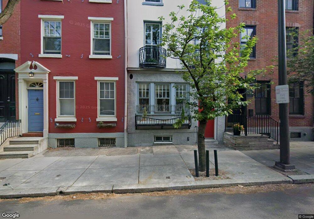
2113 Locust St Unit 2 Philadelphia, PA 19103
Rittenhouse Square NeighborhoodEstimated Value: $815,000 - $1,398,000
2
Beds
2
Baths
1,932
Sq Ft
$573/Sq Ft
Est. Value
About This Home
This home is located at 2113 Locust St Unit 2, Philadelphia, PA 19103 and is currently estimated at $1,106,500, approximately $572 per square foot. 2113 Locust St Unit 2 is a home located in Philadelphia County with nearby schools including Albert M Greenfield School, Benjamin Franklin High School, and Freire Middle School.
Ownership History
Date
Name
Owned For
Owner Type
Purchase Details
Closed on
Jul 14, 2001
Sold by
Aversa Zefferino A
Bought by
Aversa Linda M
Current Estimated Value
Home Financials for this Owner
Home Financials are based on the most recent Mortgage that was taken out on this home.
Original Mortgage
$100,000
Interest Rate
7.1%
Mortgage Type
Seller Take Back
Create a Home Valuation Report for This Property
The Home Valuation Report is an in-depth analysis detailing your home's value as well as a comparison with similar homes in the area
Home Values in the Area
Average Home Value in this Area
Purchase History
| Date | Buyer | Sale Price | Title Company |
|---|---|---|---|
| Aversa Linda M | $100,000 | -- |
Source: Public Records
Mortgage History
| Date | Status | Borrower | Loan Amount |
|---|---|---|---|
| Closed | Aversa Linda M | $100,000 |
Source: Public Records
Tax History Compared to Growth
Tax History
| Year | Tax Paid | Tax Assessment Tax Assessment Total Assessment is a certain percentage of the fair market value that is determined by local assessors to be the total taxable value of land and additions on the property. | Land | Improvement |
|---|---|---|---|---|
| 2025 | $7,933 | $614,200 | $122,840 | $491,360 |
| 2024 | $7,933 | $614,200 | $122,840 | $491,360 |
| 2023 | $7,933 | $566,700 | $113,340 | $453,360 |
| 2022 | $9,239 | $566,700 | $113,340 | $453,360 |
| 2021 | $10,578 | $0 | $0 | $0 |
| 2020 | $10,578 | $0 | $0 | $0 |
| 2019 | $10,237 | $0 | $0 | $0 |
| 2018 | $4,498 | $0 | $0 | $0 |
| 2017 | $4,498 | $0 | $0 | $0 |
| 2016 | $4,498 | $0 | $0 | $0 |
| 2015 | $4,305 | $0 | $0 | $0 |
| 2014 | -- | $321,300 | $51,030 | $270,270 |
| 2012 | -- | $34,400 | $5,926 | $28,474 |
Source: Public Records
Map
Nearby Homes
- 2108 10 Walnut St Unit 401
- 123 S Van Pelt St
- 2109 Locust St
- 2049 Walnut St Unit 1R
- 2135 Walnut St Unit 603
- 2135 Walnut St Unit 803
- 118 S 21st St Unit 813
- 118 S 21st St Unit 311-12
- 118 S 21st St Unit 603
- 118 S 21st St Unit 701
- 118 S 21st St Unit 818
- 2110 12 Sansom St
- 2047 Locust St
- 2018 Walnut St Unit 29K
- 2018 32 Walnut St Unit G249
- 247 S Van Pelt St
- 107 S Van Pelt St
- 2027 Chancellor St Unit 2027
- 251-59 S 22nd St Unit A
- 2212 Saint James Place
- 2113 Locust St
- 2115 Locust St
- 2117 Locust St
- 2119 Locust St
- 2107 Locust St
- 235 S Van Pelt St
- 2121 Locust St
- 2105 Locust St
- 236 S 21st St
- 236 S 21st St Unit D
- 236 S 21st St Unit C
- 236 S 21st St Unit B
- 224 & 234 S 21st St
- 2123 Locust St
- 2103 Locust St
- 233 S Van Pelt St
- 234 S 21st St
- 232 S 21st St Unit 2R
- 232 S 21st St Unit 3R
- 232 S 21st St Unit 3F