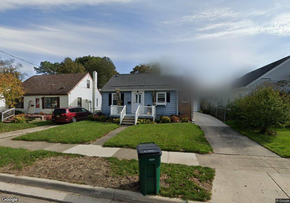
2113 Marion Ave Lansing, MI 48910
Colonial Village NeighborhoodEstimated Value: $149,887 - $178,000
3
Beds
1
Bath
1,233
Sq Ft
$134/Sq Ft
Est. Value
About This Home
This home is located at 2113 Marion Ave, Lansing, MI 48910 and is currently estimated at $165,222, approximately $134 per square foot. 2113 Marion Ave is a home located in Ingham County with nearby schools including Averill Elementary School, Attwood School, and J.W. Sexton High School.
Ownership History
Date
Name
Owned For
Owner Type
Purchase Details
Closed on
Nov 30, 2009
Sold by
Lifford Marijo and Hicks Leonard H
Bought by
Nelson Katharine M
Current Estimated Value
Home Financials for this Owner
Home Financials are based on the most recent Mortgage that was taken out on this home.
Original Mortgage
$58,913
Outstanding Balance
$38,410
Interest Rate
5.05%
Mortgage Type
FHA
Estimated Equity
$126,812
Create a Home Valuation Report for This Property
The Home Valuation Report is an in-depth analysis detailing your home's value as well as a comparison with similar homes in the area
Home Values in the Area
Average Home Value in this Area
Purchase History
| Date | Buyer | Sale Price | Title Company |
|---|---|---|---|
| Nelson Katharine M | $60,000 | Tri County Title Agency Llc |
Source: Public Records
Mortgage History
| Date | Status | Borrower | Loan Amount |
|---|---|---|---|
| Open | Nelson Katharine M | $58,913 |
Source: Public Records
Tax History
| Year | Tax Paid | Tax Assessment Tax Assessment Total Assessment is a certain percentage of the fair market value that is determined by local assessors to be the total taxable value of land and additions on the property. | Land | Improvement |
|---|---|---|---|---|
| 2025 | $3,044 | $64,000 | $8,700 | $55,300 |
| 2024 | $24 | $60,700 | $8,700 | $52,000 |
| 2023 | $2,854 | $55,500 | $8,700 | $46,800 |
| 2022 | $2,573 | $49,900 | $8,700 | $41,200 |
| 2021 | $2,520 | $47,100 | $8,800 | $38,300 |
| 2020 | $2,504 | $44,300 | $8,800 | $35,500 |
| 2019 | $2,401 | $41,700 | $8,800 | $32,900 |
| 2018 | $2,250 | $39,300 | $8,800 | $30,500 |
| 2017 | $2,154 | $39,300 | $8,800 | $30,500 |
| 2016 | $2,060 | $38,700 | $8,800 | $29,900 |
| 2015 | $2,060 | $37,600 | $17,551 | $20,049 |
| 2014 | $2,060 | $36,500 | $19,529 | $16,971 |
Source: Public Records
Map
Nearby Homes
- 2016 Pattengill Ave
- 1312 W Mount Hope Ave
- 1315 Goodrich St
- 2001 S Martin Luther King Junior Blvd
- 1114 Goodrich St
- 1116 George St
- 1618 Loraine Ave
- 900 W Mount Hope Ave
- 815 Woodbine Ave
- 1017 W Barnes Ave
- 815 Smith Ave
- 712 Lenore Ave
- 1309 Hammond St
- 1740 Wellington Rd Unit 207
- 1740 Wellington Rd Unit 103
- 717 Smith Ave
- 1511 Pattengill Ave
- 1500 Park Ave
- 612 W Mount Hope Ave
- 1120 Alsdorf St
- 2109 Marion Ave
- 1218 Poxson Ave
- 1212 Poxson Ave
- 2101 Marion Ave
- 1213 Cooper Ave
- 1208 Poxson Ave
- 1217 Poxson Ave
- 1204 Poxson Ave
- 1205 Cooper Ave
- 2114 Marion Ave
- 2112 Marion Ave
- 1205 Cooper Ave
- 2108 Marion Ave
- 2205 Marion Ave
- 1200 Poxson Ave
- 2100 Marion Ave
- 1213 Poxson Ave
- 1201 Cooper Ave
- 1222 Cooper Ave
- 1209 Poxson Ave
Your Personal Tour Guide
Ask me questions while you tour the home.