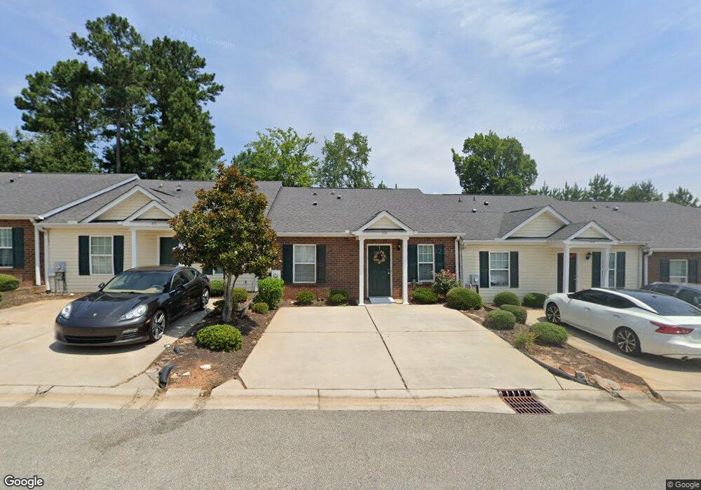
2113 Swindon Dr Augusta, GA 30909
National Hills NeighborhoodEstimated Value: $170,000 - $182,000
2
Beds
2
Baths
1,100
Sq Ft
$160/Sq Ft
Est. Value
About This Home
This home is located at 2113 Swindon Dr, Augusta, GA 30909 and is currently estimated at $175,699, approximately $159 per square foot. 2113 Swindon Dr is a home located in Richmond County with nearby schools including First Coast Technical Institute, Garrett Elementary School, and Tutt Middle School.
Ownership History
Date
Name
Owned For
Owner Type
Purchase Details
Closed on
Nov 23, 2010
Sold by
Adams Joseph F
Bought by
Woodard Marion
Current Estimated Value
Home Financials for this Owner
Home Financials are based on the most recent Mortgage that was taken out on this home.
Original Mortgage
$89,691
Outstanding Balance
$59,116
Interest Rate
4.25%
Mortgage Type
FHA
Estimated Equity
$116,583
Create a Home Valuation Report for This Property
The Home Valuation Report is an in-depth analysis detailing your home's value as well as a comparison with similar homes in the area
Home Values in the Area
Average Home Value in this Area
Purchase History
| Date | Buyer | Sale Price | Title Company |
|---|---|---|---|
| Woodard Marion | $90,900 | -- |
Source: Public Records
Mortgage History
| Date | Status | Borrower | Loan Amount |
|---|---|---|---|
| Open | Woodard Marion | $89,691 |
Source: Public Records
Tax History Compared to Growth
Tax History
| Year | Tax Paid | Tax Assessment Tax Assessment Total Assessment is a certain percentage of the fair market value that is determined by local assessors to be the total taxable value of land and additions on the property. | Land | Improvement |
|---|---|---|---|---|
| 2025 | $533 | $69,932 | $8,000 | $61,932 |
| 2024 | $533 | $59,360 | $8,000 | $51,360 |
| 2023 | $255 | $57,500 | $8,000 | $49,500 |
| 2022 | $409 | $49,492 | $8,000 | $41,492 |
| 2021 | $345 | $39,666 | $8,000 | $31,666 |
| 2020 | $348 | $39,666 | $8,000 | $31,666 |
| 2019 | $297 | $33,653 | $6,800 | $26,853 |
| 2018 | $299 | $33,653 | $6,800 | $26,853 |
| 2017 | $300 | $33,653 | $6,800 | $26,853 |
| 2016 | $301 | $33,653 | $6,800 | $26,853 |
| 2015 | $315 | $34,783 | $6,800 | $27,983 |
| 2014 | $625 | $34,783 | $6,800 | $27,983 |
Source: Public Records
Map
Nearby Homes
- 2008 Helmsdale Ln
- 1056 Bertram Rd
- 2032 Summer Valley Way
- 1058 Bertram Rd
- 1060 Bertram Rd
- 2514 Commons Trc Trace
- 2514 Commons Trace
- 2330 Lions Gate Dr
- 2205 Bridgeton Rd
- 2805 Brickrun Way
- 2171 River Park Ct
- 2717 Dan St
- 2705 Bolling Rd
- 2716 Springwood Dr
- 1211 Wood Valley Rd
- 1017 Stevens Creek Rd
- 1017 Stevens Creek Rd Unit G182
- 1405 Colony Place Dr
- 3007 Pointewest Dr
- 2111 Swindon Dr
- 2115 Swindon Dr
- 2117 Swindon Dr
- 2109 Swindon Dr
- 2119 Swindon Dr
- 2121 Swindon Dr
- 2025 Helmsdale Ln
- 2123 Swindon Dr
- 2026 Helmsdale Ln
- 2116 Swindon Dr
- 2112 Swindon Dr
- 2019 Hopetown Dr
- 2118 Swindon Dr
- 2110 Swindon Dr
- 2023 Helmsdale Ln
- 2120 Swindon Dr
- 2108 Swindon Dr
- 2024 Helmsdale Ln
- 2017 Hopetown Dr
- 2106 Swindon Dr