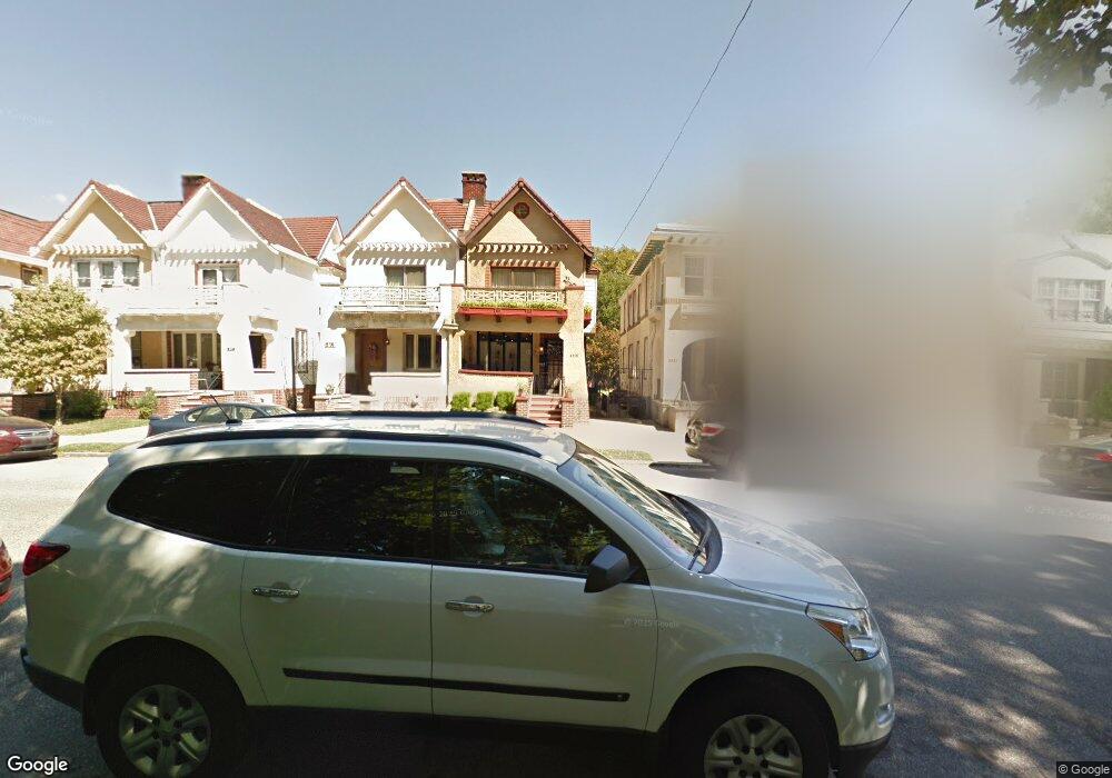
2113 W Porter St Philadelphia, PA 19145
South Philadelphia West NeighborhoodEstimated Value: $520,142 - $571,000
2
Beds
1
Bath
840
Sq Ft
$637/Sq Ft
Est. Value
About This Home
This home is located at 2113 W Porter St, Philadelphia, PA 19145 and is currently estimated at $535,286, approximately $637 per square foot. 2113 W Porter St is a home located in Philadelphia County with nearby schools including Stephen Girard School, Universal Vare Charter School, and Universal Audenried Charter High School.
Ownership History
Date
Name
Owned For
Owner Type
Purchase Details
Closed on
Apr 29, 2010
Sold by
Aversa Robert D and Aversa Richard J
Bought by
Esposito Robert and Esposito Elizabeth
Current Estimated Value
Home Financials for this Owner
Home Financials are based on the most recent Mortgage that was taken out on this home.
Original Mortgage
$243,000
Outstanding Balance
$162,714
Interest Rate
5.03%
Mortgage Type
New Conventional
Estimated Equity
$372,572
Purchase Details
Closed on
Jan 2, 1998
Sold by
Aversa Louise M
Bought by
Mancinelli Philip
Create a Home Valuation Report for This Property
The Home Valuation Report is an in-depth analysis detailing your home's value as well as a comparison with similar homes in the area
Home Values in the Area
Average Home Value in this Area
Purchase History
| Date | Buyer | Sale Price | Title Company |
|---|---|---|---|
| Esposito Robert | $270,000 | None Available | |
| Mancinelli Philip | -- | -- |
Source: Public Records
Mortgage History
| Date | Status | Borrower | Loan Amount |
|---|---|---|---|
| Open | Esposito Robert | $243,000 |
Source: Public Records
Tax History Compared to Growth
Tax History
| Year | Tax Paid | Tax Assessment Tax Assessment Total Assessment is a certain percentage of the fair market value that is determined by local assessors to be the total taxable value of land and additions on the property. | Land | Improvement |
|---|---|---|---|---|
| 2025 | $5,689 | $412,700 | $82,540 | $330,160 |
| 2024 | $5,689 | $412,700 | $82,540 | $330,160 |
| 2023 | $5,689 | $406,400 | $81,280 | $325,120 |
| 2022 | $3,662 | $361,400 | $81,280 | $280,120 |
| 2021 | $4,292 | $0 | $0 | $0 |
| 2020 | $4,292 | $0 | $0 | $0 |
| 2019 | $3,989 | $0 | $0 | $0 |
| 2018 | $3,827 | $0 | $0 | $0 |
| 2017 | $3,828 | $0 | $0 | $0 |
| 2016 | $3,408 | $0 | $0 | $0 |
| 2015 | $3,262 | $0 | $0 | $0 |
| 2014 | -- | $273,445 | $52,369 | $221,076 |
| 2012 | -- | $29,568 | $6,500 | $23,068 |
Source: Public Records
Map
Nearby Homes
- 2433 S 21st St
- 2446 S Woodstock St
- 2344 S Woodstock St
- 2533 S Lambert St
- 2325 S Lambert St
- 2302 S 22nd St
- 2329 S Woodstock St
- 2306 S Woodstock St
- 2244 S 22nd St
- 2415 S Opal St
- 2401 S Opal St
- 2251 S Hemberger St
- 2310 S 23rd St
- 2233 S Croskey St
- 2329 S Bucknell St
- 2312 S Bonsall St
- 1940 Wolf St
- 2222 S Croskey St
- 2223 S 20th St
- 2255 S Bucknell St
- 2111 W Porter St
- 2115 W Porter St
- 2117 W Porter St
- 2109 W Porter St
- 2119 W Porter St
- 2107 W Porter St
- 2121 W Porter St
- 2105 W Porter St
- 2103 W Porter St
- 2422 S 21st St
- 2123 W Porter St
- 2101 W Porter St
- 2420 S 21st St
- 2125 W Porter St
- 2418 S 21st St
- 2127 W Porter St
- 2416 S 21st St
- 2129 W Porter St
- 2414 S 21st St
- 2131 W Porter St