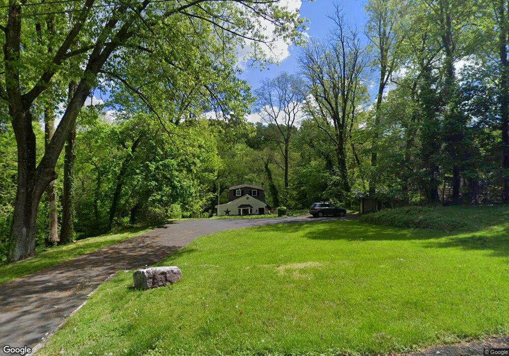
2113 Woodchuck Ln Feasterville Trevose, PA 19053
Estimated Value: $335,378 - $368,000
4
Beds
2
Baths
1,253
Sq Ft
$278/Sq Ft
Est. Value
About This Home
This home is located at 2113 Woodchuck Ln, Feasterville Trevose, PA 19053 and is currently estimated at $348,845, approximately $278 per square foot. 2113 Woodchuck Ln is a home located in Bucks County with nearby schools including Tawanka Elementary School, Poquessing Middle School, and Neshaminy High School.
Ownership History
Date
Name
Owned For
Owner Type
Purchase Details
Closed on
Mar 30, 2012
Sold by
Harm James R and Harm Sharyne L
Bought by
Harm Noel R and Miller Jackie
Current Estimated Value
Home Financials for this Owner
Home Financials are based on the most recent Mortgage that was taken out on this home.
Original Mortgage
$100,000
Interest Rate
3.95%
Mortgage Type
New Conventional
Create a Home Valuation Report for This Property
The Home Valuation Report is an in-depth analysis detailing your home's value as well as a comparison with similar homes in the area
Home Values in the Area
Average Home Value in this Area
Purchase History
| Date | Buyer | Sale Price | Title Company |
|---|---|---|---|
| Harm Noel R | $189,000 | None Available |
Source: Public Records
Mortgage History
| Date | Status | Borrower | Loan Amount |
|---|---|---|---|
| Closed | Harm Noel R | $100,000 |
Source: Public Records
Tax History Compared to Growth
Tax History
| Year | Tax Paid | Tax Assessment Tax Assessment Total Assessment is a certain percentage of the fair market value that is determined by local assessors to be the total taxable value of land and additions on the property. | Land | Improvement |
|---|---|---|---|---|
| 2025 | $2,298 | $10,800 | $800 | $10,000 |
| 2024 | $2,298 | $10,800 | $800 | $10,000 |
| 2023 | $2,276 | $10,800 | $800 | $10,000 |
| 2022 | $2,215 | $10,800 | $800 | $10,000 |
| 2021 | $2,215 | $10,800 | $800 | $10,000 |
| 2020 | $2,188 | $10,800 | $800 | $10,000 |
| 2019 | $2,139 | $10,800 | $800 | $10,000 |
| 2018 | $2,099 | $10,800 | $800 | $10,000 |
| 2017 | $2,044 | $10,800 | $800 | $10,000 |
| 2016 | $2,044 | $10,800 | $800 | $10,000 |
| 2015 | $1,642 | $10,800 | $800 | $10,000 |
| 2014 | $1,642 | $10,800 | $800 | $10,000 |
Source: Public Records
Map
Nearby Homes
- 1241 Ridge Rd
- 1320 Clayton Ave
- 1226 Neshaminy Ave
- 1128 Hilton Ave
- 1237 Clayton Ave
- 836 E Bristol Rd
- 2304 LOT J-3 Brownsville Rd
- 2053 Christina Ct
- 0 Grove Ave
- 737 Lynwood Dr
- 2304 Brownsville Rd Unit L22
- 2304 Brownsville Rd Unit P11
- 2304 Brownsville Rd
- 2304 Brownsville Rd Unit 1216
- 716 Ross Dr
- 2623 Sunnyside Ave
- 722 Autumn Dr
- 4357 Brownsville Rd
- 523 Turtle Ln
- 2067 Herrick Ave
- 2103 Woodchuck Ln
- 2081 Summit Ave
- 2205 Bent Rd
- 2077 Summit Ave
- 2104 Woodchuck Ln
- 2006 Shore Rd
- 1288 Woodside Ave
- 2112 Woodchuck Ln
- 2212 Shore Rd
- 1282 Woodside Ave
- 2216 Shore Rd
- 2061 Riverview Ln
- 2221 Bent Rd
- 1215 Forrest Ave
- 2067 Summit Ave
- 23 Woodside Ave
- 2225 Bent Rd
- 2090 Summit Ave
- 2224 Bent Rd
- 2216 Bent Rd