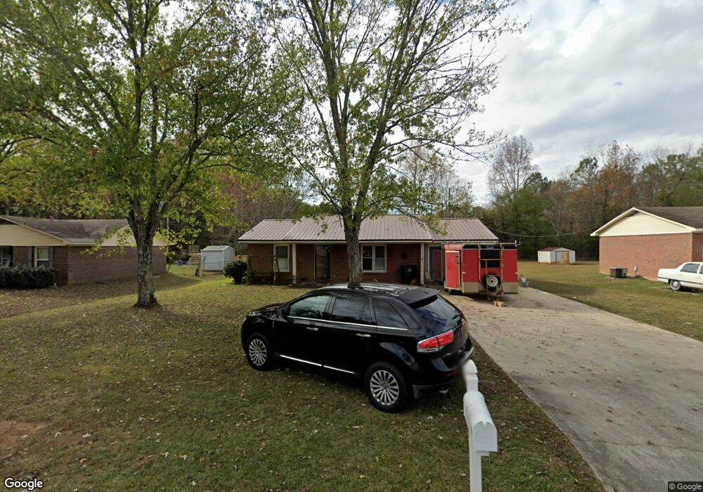
2114 Booker Dr Athens, AL 35611
Estimated Value: $139,548 - $170,000
--
Bed
--
Bath
945
Sq Ft
$169/Sq Ft
Est. Value
About This Home
This home is located at 2114 Booker Dr, Athens, AL 35611 and is currently estimated at $159,387, approximately $168 per square foot. 2114 Booker Dr is a home with nearby schools including Julian Newman Elementary School, Athens Intermediate School, and Athens Middle School.
Ownership History
Date
Name
Owned For
Owner Type
Purchase Details
Closed on
Apr 5, 2013
Sold by
Hartfield Cheryl E
Bought by
Hartfield Cheryl E
Current Estimated Value
Purchase Details
Closed on
Nov 19, 2012
Sold by
Hartfield Cheryl E and Hartfield David L
Bought by
Hartfield Cheryl E
Purchase Details
Closed on
Jan 16, 2007
Sold by
Turner Leo and Turner Mildred F
Bought by
Hartfield David L and Hartfield Cheryl E
Home Financials for this Owner
Home Financials are based on the most recent Mortgage that was taken out on this home.
Original Mortgage
$38,400
Interest Rate
6.07%
Purchase Details
Closed on
May 26, 2005
Sold by
Usda Fha
Bought by
Turner Leo
Home Financials for this Owner
Home Financials are based on the most recent Mortgage that was taken out on this home.
Original Mortgage
$41,500
Interest Rate
5.66%
Create a Home Valuation Report for This Property
The Home Valuation Report is an in-depth analysis detailing your home's value as well as a comparison with similar homes in the area
Home Values in the Area
Average Home Value in this Area
Purchase History
| Date | Buyer | Sale Price | Title Company |
|---|---|---|---|
| Hartfield Cheryl E | $59,190 | -- | |
| Hartfield Cheryl E | $59,190 | -- | |
| Hartfield David L | -- | -- | |
| Turner Leo | -- | -- |
Source: Public Records
Mortgage History
| Date | Status | Borrower | Loan Amount |
|---|---|---|---|
| Previous Owner | Hartfield David L | $38,400 | |
| Previous Owner | Turner Leo | $41,500 |
Source: Public Records
Tax History Compared to Growth
Tax History
| Year | Tax Paid | Tax Assessment Tax Assessment Total Assessment is a certain percentage of the fair market value that is determined by local assessors to be the total taxable value of land and additions on the property. | Land | Improvement |
|---|---|---|---|---|
| 2024 | $878 | $21,940 | $0 | $0 |
| 2023 | $878 | $21,940 | $0 | $0 |
| 2022 | $709 | $17,720 | $0 | $0 |
| 2021 | $585 | $14,620 | $0 | $0 |
| 2020 | $558 | $13,960 | $0 | $0 |
| 2019 | $505 | $12,620 | $0 | $0 |
| 2018 | $431 | $10,780 | $0 | $0 |
| 2017 | $431 | $10,780 | $0 | $0 |
| 2016 | $431 | $53,890 | $0 | $0 |
| 2015 | $431 | $10,780 | $0 | $0 |
| 2014 | $424 | $0 | $0 | $0 |
Source: Public Records
Map
Nearby Homes
- 1817 Hine St S
- 325 Hine St S
- 1112 Hine St S
- 28.35 Hine St S
- 1925 Cain Dr Unit 280
- 1709 Lillian Dr
- 1505 Nella Dr
- 1509 Nella Dr
- 955 W Sanderfer Rd
- 8336 Us Highway 72 W
- 1412 Bridgewater Place
- 5 Lucas Ferry Rd
- TRACT 3 Lucas Ferry Rd
- Tract 2 Lucas Ferry Rd
- Lot 1 Browns Ferry St
- 1501 Reynard St
- 15261 Lapwing Cove
- 15271 Lapwing Cove
- 15279 Lapwing Cove
- 17812 Emma Jo Ln