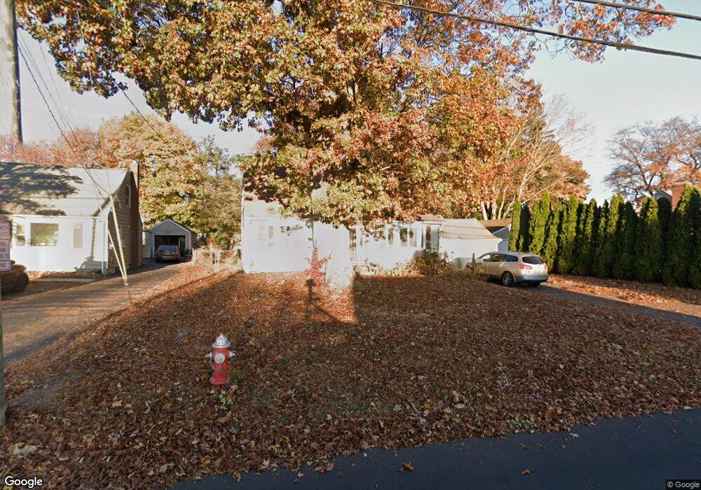
2114 Corbin Ave New Britain, CT 06053
Estimated Value: $359,296 - $450,000
3
Beds
3
Baths
1,973
Sq Ft
$211/Sq Ft
Est. Value
About This Home
This home is located at 2114 Corbin Ave, New Britain, CT 06053 and is currently estimated at $415,824, approximately $210 per square foot. 2114 Corbin Ave is a home located in Hartford County with nearby schools including Jefferson School, Pulaski Middle School, and St. Francis of Assisi Middle School.
Ownership History
Date
Name
Owned For
Owner Type
Purchase Details
Closed on
Oct 28, 2014
Sold by
Albert Marie A
Bought by
Albert Stacie L
Current Estimated Value
Home Financials for this Owner
Home Financials are based on the most recent Mortgage that was taken out on this home.
Original Mortgage
$152,000
Outstanding Balance
$116,865
Interest Rate
4.1%
Mortgage Type
New Conventional
Estimated Equity
$298,959
Create a Home Valuation Report for This Property
The Home Valuation Report is an in-depth analysis detailing your home's value as well as a comparison with similar homes in the area
Home Values in the Area
Average Home Value in this Area
Purchase History
| Date | Buyer | Sale Price | Title Company |
|---|---|---|---|
| Albert Stacie L | $190,000 | -- |
Source: Public Records
Mortgage History
| Date | Status | Borrower | Loan Amount |
|---|---|---|---|
| Open | Albert Stacie L | $152,000 | |
| Previous Owner | Albert Stacie L | $48,000 |
Source: Public Records
Tax History Compared to Growth
Tax History
| Year | Tax Paid | Tax Assessment Tax Assessment Total Assessment is a certain percentage of the fair market value that is determined by local assessors to be the total taxable value of land and additions on the property. | Land | Improvement |
|---|---|---|---|---|
| 2025 | $7,956 | $203,070 | $49,630 | $153,440 |
| 2024 | $8,040 | $203,070 | $49,630 | $153,440 |
| 2023 | $7,774 | $203,070 | $49,630 | $153,440 |
| 2022 | $7,339 | $148,260 | $20,860 | $127,400 |
| 2021 | $7,339 | $148,260 | $20,860 | $127,400 |
| 2020 | $7,487 | $148,260 | $20,860 | $127,400 |
| 2019 | $7,300 | $144,550 | $20,860 | $123,690 |
| 2018 | $7,300 | $144,550 | $20,860 | $123,690 |
| 2017 | $6,932 | $137,270 | $20,860 | $116,410 |
| 2016 | $6,922 | $137,060 | $20,860 | $116,200 |
| 2015 | $6,716 | $137,060 | $20,860 | $116,200 |
| 2014 | $6,716 | $137,060 | $20,860 | $116,200 |
Source: Public Records
Map
Nearby Homes
- 95 Pierremount Ave
- 874 Slater Rd
- 27 Candlewood Ln
- 152 Oakland Ave
- 234 Pierremount Ave
- 148 Governor St
- 59 Heather Ln
- 19 Maplehurst Ave
- 410 Farmington Ave Unit O6
- 67 Eastwick Rd
- 87 Pinehurst Ave
- 230 Hillhurst Ave
- 527 Burritt St
- 79 Helen Dr
- 108 Commonwealth Ave
- 394 Mcclintock St
- 34 Hutchinson St
- 8 Albany Ave
- 1485 Corbin Ave
- 55 Allen St
- 2106 Corbin Ave
- 2120 Corbin Ave
- 2100 Corbin Ave
- 121 Neanda St
- 109 Neanda St
- 2094 Corbin Ave
- 127 Neanda St
- 2111 Corbin Ave
- 105 Neanda St
- 2117 Corbin Ave
- 2097 Corbin Ave
- 2088 Corbin Ave
- 97 Neanda St
- 2091 Corbin Ave
- 2125 Corbin Ave
- 18 Pierremount Ave
- 2080 Corbin Ave
- 2131 Corbin Ave
- 85 Neanda St
- 120 Neanda St