21142 Catnip Way Leonardtown, MD 20650
Estimated Value: $546,892 - $594,000
--
Bed
3
Baths
2,420
Sq Ft
$234/Sq Ft
Est. Value
About This Home
This home is located at 21142 Catnip Way, Leonardtown, MD 20650 and is currently estimated at $567,473, approximately $234 per square foot. 21142 Catnip Way is a home located in St. Mary's County with nearby schools including Leonardtown Elementary School, Leonardtown Middle School, and Leonardtown High School.
Ownership History
Date
Name
Owned For
Owner Type
Purchase Details
Closed on
Dec 29, 2006
Sold by
Haraughty Ira F
Bought by
Farr Matthew W and Farr Karen A
Current Estimated Value
Home Financials for this Owner
Home Financials are based on the most recent Mortgage that was taken out on this home.
Original Mortgage
$63,750
Outstanding Balance
$25,836
Interest Rate
6.29%
Mortgage Type
Unknown
Estimated Equity
$541,637
Purchase Details
Closed on
Dec 14, 2006
Sold by
Haraughty Ira F
Bought by
Farr Matthew W and Farr Karen A
Home Financials for this Owner
Home Financials are based on the most recent Mortgage that was taken out on this home.
Original Mortgage
$63,750
Outstanding Balance
$25,836
Interest Rate
6.29%
Mortgage Type
Unknown
Estimated Equity
$541,637
Purchase Details
Closed on
Dec 31, 2002
Sold by
Kingston L L P
Bought by
Haraughty Ira F and Haraughty Danielle A
Create a Home Valuation Report for This Property
The Home Valuation Report is an in-depth analysis detailing your home's value as well as a comparison with similar homes in the area
Home Values in the Area
Average Home Value in this Area
Purchase History
| Date | Buyer | Sale Price | Title Company |
|---|---|---|---|
| Farr Matthew W | $425,000 | -- | |
| Farr Matthew W | $425,000 | -- | |
| Haraughty Ira F | $233,898 | -- |
Source: Public Records
Mortgage History
| Date | Status | Borrower | Loan Amount |
|---|---|---|---|
| Open | Farr Matthew W | $63,750 | |
| Open | Farr Matthew W | $340,000 | |
| Closed | Farr Matthew W | $63,750 | |
| Closed | Farr Matthew W | $340,000 | |
| Closed | Haraughty Ira F | -- |
Source: Public Records
Tax History Compared to Growth
Tax History
| Year | Tax Paid | Tax Assessment Tax Assessment Total Assessment is a certain percentage of the fair market value that is determined by local assessors to be the total taxable value of land and additions on the property. | Land | Improvement |
|---|---|---|---|---|
| 2025 | $4,230 | $411,700 | $128,200 | $283,500 |
| 2024 | $4,020 | $391,167 | $0 | $0 |
| 2023 | $3,778 | $370,633 | $0 | $0 |
| 2022 | $3,658 | $350,100 | $128,200 | $221,900 |
| 2021 | $3,598 | $344,400 | $0 | $0 |
| 2020 | $3,539 | $338,700 | $0 | $0 |
| 2019 | $3,479 | $333,000 | $128,200 | $204,800 |
| 2018 | $3,472 | $332,467 | $0 | $0 |
| 2017 | $3,447 | $331,933 | $0 | $0 |
| 2016 | -- | $331,400 | $0 | $0 |
| 2015 | $3,433 | $331,400 | $0 | $0 |
| 2014 | $3,433 | $331,400 | $0 | $0 |
Source: Public Records
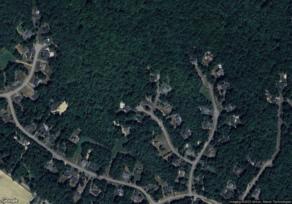
Map
Nearby Homes
- 21117 Catnip Ct
- 42043 Starlight Dr
- 21039 Woodmere Dr
- 21060 Woodmere Dr
- 42975 Baywood Place
- 21345 Fairwood Ct
- 20959 Redgate Ln
- 42520 Riverwinds Dr
- 40412 B Somerville Ln
- 20753 Chestnut Ridge Dr
- 43543 Bayberry Ct
- 41832 Foxwell Point Ln
- 40855 Spring House Ln
- 22547 Landing Way
- 0 Cedar Lane Rd
- 22615 Washington St
- 43488 Medleys Neck Rd
- 19921 Tower Hill Rd
- 41895 Tomey Ct
- 22362 Armstrong Dr
- 21147 Catnip Ct
- 21130 Catnip Way
- 21135 Catnip Way
- 21136 Catnip Way
- 21136 Catnip Way
- 21137 Catnip Ct
- 21122 Catnip Ct
- 21114 Catnip Ct
- 21103 Rosebay St
- 21116 Rosebay Way
- 21095 Rosebay St
- 21087 Rosebay St
- 21102 Marigold St
- 21111 Catnip Ct
- 21112 Rosebay St
- 21106 Marigold St
- 21134 Marigold St
- 21108 Rosebay St
- 21154 Marigold St
- 21081 Rosebay St